2 Cobbs Lane, Poole, BH15 3LH
About 2 Cobbs Lane
2 Cobbs Lane is a detached house in Poole (BH15 3LH). It has a recorded floor area of 83 m² (around 893 sq ft), construction records dating it to 1967-1975 and council tax band B. At 83 m² this is the 8th smallest of 11 units on EPC record in the building, where floor areas span 72–132 m². The building's EPC ratings span D to B across 11 units on file. The latest certificate (November 2020) shows a C (score 69), just inside the C band.
Today's modelled estimate of £255,000 is 15.9% above the 2020 sale price. On a £-per-square-foot basis, the last sale (£246/sq ft) was about 18.4% below the postcode norm. Most recent transfer: November 2020 at £220,000.
Know exactly what you're buying at 2 Cobbs Lane
Before you offer, see what the listing won't tell you, the true value, the red flags and the full history.
Already flagged here
Valuation
against the asking price
Risks
planning & flood
Sold prices
similar homes nearby
Trends
the local market
Energy performance
EPC Rating
Planning history
2 Cobbs Lane has no planning applications on record.
Notable planning nearby
10applications of note in the surrounding area
We flagged 2 things worth checking at 2 Cobbs Lane
Independent checks surfaced things a buyer would want to understand before offering. The report explains each one in full, with the underlying data and what to ask.
- Signs of HMO activity in the area
- Larger development activity nearby
30-day money-back guarantee
Sales history & valuation
The latest sale landed in the post-pandemic price surge — useful context when reading the figure.
£255,000
Modelled from EPC, postcode comparables.
£220,000
Recorded with HM Land Registry.
Sales timeline
27 November 2020Most recent
£220,000
Median price across the last 5 sales in BH15 3LH: £340,000 (2025–2016).
Everything we know about 2 Cobbs Lane, in one report
What it's really worth, what could be wrong, and the planning, sales and area data in full.
What we flagged
- Signs of HMO activity in the area
- Larger development activity nearby

Similar properties nearby
The neighbourhood at a glance
Crime
6/mo
Steady year-on-year across the wider district.
Nearest stop
0.1 km
Enfield Road — bus stop.
Closest school
0.4 km
Canford Heath Infant School. 22 schools nearby.
Go deeper on the local area
The full report breaks down crime, transport links, schools and air quality in depth.
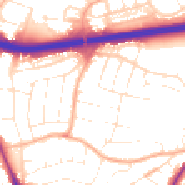
Road noise across the postcode
Daytime· 07:00 – 23:00
53.8dB

Night-time· 23:00 – 07:00
44.8dB