37 Pollard Lane, Bradford, BD2 4RN
About 37 Pollard Lane
37 Pollard Lane is a seven-bedroom property in Bradford (BD2 4RN). It has council tax band C. The home occupies a corner plot.
Held since July 2006 — that's 20 years off the open market, well above the local norm. 7 bedrooms is on the larger side for this postcode, where 3 is the typical count.
What this property has
Inside
- Bedrooms7
- Dining roomYes
Outside
- Private gardenYes
- GarageYes
- Corner plotYes
Building
- RefurbishedYes
Everything you need to know about 37 Pollard Lane
The true value, the hidden risks and the full sale history, in one report.
Pick your report · every report is £14.99
One time fee only - money back guarantee

The data behind every report


Energy performance
No EPC on record
This property doesn't have an Energy Performance Certificate yet. An EPC is required to sell or let — and unlocks our automated valuation.
Get a survey for this property
Level 2 HomeBuyer Report
We've checked 10 risk factors against the available data for this property and believe a Level 2 HomeBuyer Report could be a suitable option for you.
Planning history
37 Pollard Lane has no planning applications on record.
But the area is active
2 notable applications nearby — larger schemes and conversions that could reshape the street. The report maps them all.
Sales history & valuation
£292,000
Recorded with HM Land Registry.
Sales timeline
16 July 2006Most recent
£292,000
Median price across the last 5 sales in BD2 4RN: £113,000 (2022–2019).
Nearby sales in BD2 4RN
Everything you need to know about 37 Pollard Lane
The true value, the hidden risks and the full sale history, in one report.
Pick your report · every report is £14.99
One time fee only - money back guarantee
The data behind every report
Similar properties nearby
The neighbourhood at a glance
Crime
3/mo
Steady year-on-year across the wider district.
Nearest stop
0.0 km
Stoneleigh Road — bus stop.
Closest school
0.4 km
Peel Park Primary School and Nursery. 49 schools nearby.
Go deeper on the local area
A Local Area report breaks down crime, transport links, schools and air quality in depth.
Road noise across the postcode
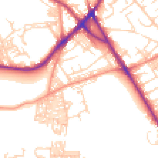
Daytime· 07:00 – 23:00
52.7dB

Night-time· 23:00 – 07:00
42.8dB