1049 Bolton Road, Bradford, BD2 4LN
About 1049 Bolton Road
1049 Bolton Road is a five-bedroom detached house in Bradford (BD2 4LN). It has a recorded floor area of 207 m² (around 2228 sq ft), construction records dating it to 1991-1995 and council tax band D. The latest certificate (May 2022) shows a C (score 71).
At 207 m² the property is well over the postcode median (110 m² across 7 EPCs), placing it in the larger end of the local stock. Its energy rating outperforms most of the postcode (better than 86% of similar EPCs). 5 bedrooms is on the larger side for this postcode, where 4 is the typical count. 3 planning records sit against the property, 2 approved, 1 refused. Past consents include an extension, meaningful when judging how the property has evolved. Across 2007–2022, sale prices on this property compounded at 5.3% per year. On a £-per-square-foot basis, the last sale (£180/sq ft) was about 40.1% above the typical sold price in the postcode. Most recent transfer: December 2022 at £400,000. That sale was during the post-pandemic price surge, when transactions cleared materially above pre-2020 trend.
What this property has
Inside
- Bedrooms5
- Bathrooms2
- Dining roomYes
- CloakroomYes
- EnsuiteYes
Outside
- Communal gardenYes
- GarageYes
Everything you need to know about 1049 Bolton Road
The true value, the hidden risks and the full sale history, in one report.
Pick your report · every report is £14.99
One time fee only - money back guarantee

The data behind every report


Energy performance
1049 Bolton Road's carbon output runs well above what efficient homes in the postcode produce.
EPC Rating
Get a survey for this property
Level 3 Building Survey
Because the property has been extended more than once, we believe a Level 3 building survey should be considered.
From £1,020 · Includes VAT
Planning history
3 applications on record at 1049 Bolton Road, Bradford, BD2 4LN
- Mar 2008ExtensionFullOutcome in report
Extension: Rear of property
Construction of 2 storey extension to rear
- Documents
- 4 docs on file
- Reference
- 08/00489/FUL
- More recent applications — locked
- ExtensionMay 2008Decision
- FullMay 2008Decision
Unlock 1049 Bolton Road, Bradford, BD2 4LN's full planning history
You're seeing the shape of it. The report has the substance.
- Every decision — granted, refused or withdrawn (3 on record)
- All 3 applications on this property in full, plus 2 notable nearby
- The 22 documents, officer reports & conditions
- What the pattern means for extending or converting here
One time fee only - money back guarantee
Sales history & valuation
Latest sale on 1049 Bolton Road was the highest on Land Registry record across the postcode.
£406,000
Modelled from EPC, postcode comparables and a sale-price growth of 5.3% per year over 15 years.
£400,000
Growth on file: 5.3% per year over 15 years.
Sales timeline
12 December 2022Most recent
£400,000
+118.6%over 15 years4 December 2007
£183,000
Median price across the last 5 sales in BD2 4LN: £163,000 (2020–2016).
Nearby sales in BD2 4LN
Versus other Bolton Road homes
On price per m², 1049 Bolton Road stands well clear of the street.
Price per m²
£1,932
Street avg £1,533
Floor Area
207 m²
Street avg 106 m²
Habitable Rooms
8 rooms
Street avg 5 rooms
CO₂ Emissions
7.0 t/year
Street avg 6.3 t/year
Everything you need to know about 1049 Bolton Road
The true value, the hidden risks and the full sale history, in one report.
Pick your report · every report is £14.99
One time fee only - money back guarantee
The data behind every report
Similar properties nearby
The neighbourhood at a glance
Crime
3/mo
Steady year-on-year across the wider district.
Nearest stop
0.0 km
Lister Lane — bus stop.
Closest school
0.5 km
Grove House Primary School. 55 schools nearby.
Go deeper on the local area
A Local Area report breaks down crime, transport links, schools and air quality in depth.
Road noise across the postcode
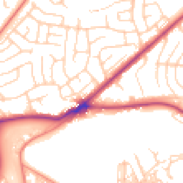
Daytime· 07:00 – 23:00
52.4dB

Night-time· 23:00 – 07:00
42.0dB