Flat 4, 437 Cannock Road, Hednesford, Cannock, WS12 4AE
About Flat 4
Flat 4 is a two-bedroom end-of-terrace house in Hednesford, Cannock, Cannock (WS12 4AE). It has a recorded floor area of 64 m² (around 689 sq ft), construction records dating it to 1900-1929 and council tax band A. At 64 m² this is the largest unit on EPC record across the building (32–64 m²). The building's EPC ratings span E to C across 6 units on file. The latest certificate (January 2019) shows a D (score 62), on the cusp of jumping into the C band. When first surveyed in October 2008 the rating was F, the property has climbed 2 bands since. Between certificates, hot-water efficiency went from Average to Good. The recommended improvements would push it to C (score 72).
Held since November 2007 — that's 19 years off the open market, well above the local norm. That sale landed at the peak of the pre-credit-crunch market, which is a useful reference point when interpreting the price. Across 2007–2007, sale prices on this property compounded at 153.2% per year. Today's modelled estimate of £112,000 is 12% above the 2007 sale price. One historical planning record sits against the property in 2015.
Know exactly what you're buying at Flat 4
Before you offer, see what the listing won't tell you, the true value, the red flags and the full history.
Already flagged here
Valuation
against the asking price
Risks
planning & flood
Sold prices
similar homes nearby
Trends
the local market
What this property has
Inside
- Bedrooms2
- Bathrooms1
Outside
- ParkingOff road
Building
- Heating systemGas
Energy performance
EPC Rating
Property Improvements
Changes detected from historical EPC data
Hot water system upgraded
Windows upgraded, improving insulation
More low energy lighting installed
Planning history
- May 2015Change Of UseFullIn report
Change of use from office (B1) to day nursery (D1)
- Documents
- 13 docs on file
- Reference
- CH/15/0064
We flagged 2 things worth checking at Flat 4
Independent checks surfaced things a buyer would want to understand before offering. The report explains each one in full, with the underlying data and what to ask.
- Larger development activity nearby
- Recent ownership pattern worth a look
30-day money-back guarantee
Sales history & valuation
Flat 4 has more than doubled in price since the earliest registered sale in 2007.
£112,000
Modelled from EPC, postcode comparables and a sale-price growth of 153.2% per year over 1 year.
£100,000
Growth on file: 153.2% per year over 1 year.
Sales timeline
14 November 2007Most recent
£100,000
+153.2%9 October 2007
£39,500
Median price across the last 5 sales in WS12 4AE: £172,000 (2024–2021).
Nearby sales in WS12 4AE
419 Cannock Road, Hednesford, Cannock, WS12 4AE
Sold Jan 2024
£160,000443a, Cannock Road, Hednesford, Cannock, WS12 4AE
Sold May 2022
£130,000389 Cannock Road, Hednesford, Cannock, WS12 4AE
Sold Mar 2022
£318,000407 Cannock Road, Hednesford, Cannock, WS12 4AE
Sold Nov 2021
£320,000425 Cannock Road, Hednesford, Cannock, WS12 4AE
Sold Aug 2021
£172,000
Everything we know about Flat 4, in one report
What it's really worth, what could be wrong, and the planning, sales and area data in full.
What we flagged
- Larger development activity nearby
- Recent ownership pattern worth a look

Versus other Cannock Road homes
On habitable rooms, Flat 4 stands well clear of the street.
EPC Rating
62 (D)
Street avg 67 (D)
Floor Area
64 m²
Street avg 54 m²
CO₂ Emissions
3.4 t/year
Street avg 3.2 t/year
Habitable Rooms
3 rooms
Street avg 2 rooms
Similar properties nearby
Flat 1, 437 Cannock Road, Hednesford
WS12 4AE
Flat 1, 39 Mount Street, Hednesford
WS12 4DE
Bramble Court, Flat 7, Bramble Drive, Hednesford
WS12 4RU
Bridford Court, Flat 2, 24 Station Road, Hednesford
WS12 4DL
Bridford Court, Flat 3, 24 Station Road, Hednesford
WS12 4DL
Bridford Court, Flat 6, 24 Station Road, Hednesford
WS12 4DL
Bridford Court, Flat 5, 24 Station Road, Hednesford
WS12 4DL
Bridford Court, Flat 4, 24 Station Road, Hednesford
WS12 4DL
The neighbourhood at a glance
Rail-style transport is unusually close for this postcode.
Crime
2/mo
Falling year-on-year across the wider district.
Nearest stop
0.0 km
Railway View — bus stop.
Closest school
0.2 km
Poppyfield Primary Academy. 18 schools nearby.
Go deeper on the local area
The full report breaks down crime, transport links, schools and air quality in depth.
Road noise across the postcode
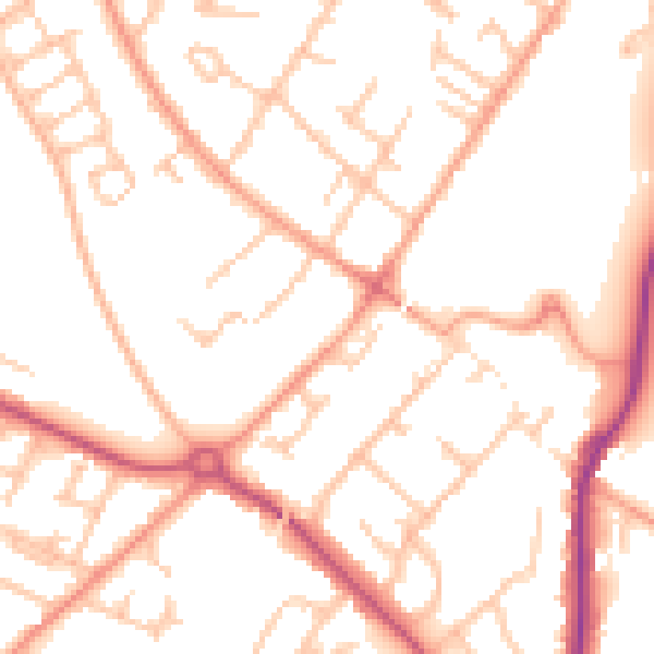
Daytime· 07:00 – 23:00
51.8dB

Night-time· 23:00 – 07:00
41.4dB