425 Cannock Road, Hednesford, Cannock, WS12 4AE
About 425 Cannock Road
425 Cannock Road is a two-bedroom semi-detached house in Hednesford, Cannock, Cannock (WS12 4AE). It has a recorded floor area of 82 m² (around 883 sq ft), construction records dating it to 1976-1982 and council tax band B. The latest certificate (March 2021) shows a C (score 71). The rating has held steady at C across 2 certificates since June 2009. Between certificates, window efficiency went from Average to Good; while wall efficiency dropped from Good to Average and hot-water efficiency dropped from Very Good to Good. The recommended improvements would push it to B (score 88).
At 82 m² it's 22.4% larger than the typical home in the postcode (67 m² median across 25 EPCs). Across 1995–2021, sale prices on this property compounded at 5% per year. Today's modelled estimate of £222,000 is 29.1% above the 2021 sale price. On a £-per-square-foot basis, the last sale (£195/sq ft) was about 34.2% above the typical sold price in the postcode. Most recent transfer: August 2021 at £172,000. That sale was during the post-pandemic price surge, when transactions cleared materially above pre-2020 trend.
Know exactly what you're buying at 425 Cannock Road
Before you offer, see what the listing won't tell you, the true value, the red flags and the full history.
Already flagged here
Valuation
against the asking price
Risks
planning & flood
Sold prices
similar homes nearby
Trends
the local market
What this property has
Inside
- Bedrooms2
- Bathrooms1
- Open-plan layoutYes
- Dining roomYes
- CloakroomYes
Outside
- Private gardenRear
- GarageSingle, Integral
Building
- Heating systemGas fired
- RefurbishedYes
Energy performance
EPC Rating
Property Improvements
Changes detected from historical EPC data
Hot water efficiency decreased
Window efficiency improved
More low energy lighting installed
Planning history
425 Cannock Road has no planning applications on record.
Notable planning nearby
3applications of note in the surrounding area
We flagged 1 thing worth checking at 425 Cannock Road
Independent checks surfaced things a buyer would want to understand before offering. The report explains each one in full, with the underlying data and what to ask.
- Larger development activity nearby
30-day money-back guarantee
Sales history & valuation
425 Cannock Road has more than tripled in price since its earliest registered sale in 1995.
£222,000
Modelled from EPC, postcode comparables and a sale-price growth of 5.0% per year over 26 years.
£172,000
Growth on file: 5.0% per year over 26 years.
Sales timeline
4 August 2021Most recent
£172,000
+52.9%over 9 years13 September 2011
£112,500
+42.4%over 8 years14 November 2002
£78,995
+49.0%over 5 years6 July 1997
£53,000
+9.8%over 2 years8 June 1995
£48,250
Median price across the last 5 sales in WS12 4AE: £160,000 (2024–2021).
Nearby sales in WS12 4AE
419 Cannock Road, Hednesford, Cannock, WS12 4AE
Sold Jan 2024
£160,000443a, Cannock Road, Hednesford, Cannock, WS12 4AE
Sold May 2022
£130,000389 Cannock Road, Hednesford, Cannock, WS12 4AE
Sold Mar 2022
£318,000407 Cannock Road, Hednesford, Cannock, WS12 4AE
Sold Nov 2021
£320,000Flat 1, 437 Cannock Road, Hednesford, Cannock, WS12 4AE
Sold Jul 2021
£67,500
Everything we know about 425 Cannock Road, in one report
What it's really worth, what could be wrong, and the planning, sales and area data in full.
What we flagged
- Larger development activity nearby

Versus other Cannock Road homes
On co₂ emissions, 425 Cannock Road stands well clear of the street.
Price per m²
£2,098
Street avg £1,669
Floor Area
82 m²
Street avg 112 m²
Habitable Rooms
4 rooms
Street avg 5 rooms
CO₂ Emissions
3.1 t/year
Street avg 5.7 t/year
Similar properties nearby
1 Arnotdale Drive, Hednesford
WS12 4JG
1 Barley Close, Hednesford
WS12 4XY
1 Bramwell Drive, Hednesford
WS12 4GG
1 Balmoral Drive, Hednesford
WS12 4LT
1 Braemar Gardens, Hednesford
WS12 4LS
1 Bracken Road
WS12 4NS
1 Abbey Street, Hednesford
WS12 4BB
1 Bradbury Court, Hednesford
WS12 4FE
The neighbourhood at a glance
Rail-style transport is unusually close for this postcode.
Crime
2/mo
Falling year-on-year across the wider district.
Nearest stop
0.0 km
Railway View — bus stop.
Closest school
0.2 km
Poppyfield Primary Academy. 18 schools nearby.
Go deeper on the local area
The full report breaks down crime, transport links, schools and air quality in depth.
Road noise across the postcode
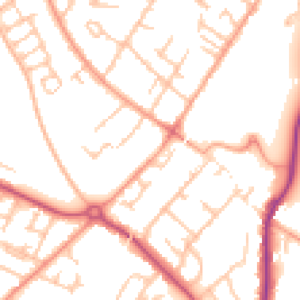
Daytime· 07:00 – 23:00
51.8dB

Night-time· 23:00 – 07:00
41.4dB