14 Edward Amey Close, Watford, WD25 9PD
About 14 Edward Amey Close
14 Edward Amey Close is a two-bedroom mid-terrace house in Watford (WD25 9PD). It has a recorded floor area of 58 m² (around 624 sq ft), construction records dating it to 1983-1990 and council tax band C. At 58 m² this is the 10th smallest of 22 units on EPC record in the building, where floor areas span 41–75 m². The building's EPC ratings span E to C, with this unit at the top. The latest certificate (February 2025) shows a C (score 77), near the top of the C band.
What this property has
Inside
- Bedrooms2
- Bathrooms1
- EnsuiteYes
Building
- RefurbishedYes
Everything you need to know about 14 Edward Amey Close
The true value, the hidden risks and the full sale history, in one report.
30-day money-back guarantee

The data behind every report


Energy performance
14 Edward Amey Close's carbon output is low for the local stock.
EPC Rating
Planning history
14 Edward Amey Close has no planning applications on record.
The full report still covers planning activity across the surrounding area.
Sales history & valuation
14 Edward Amey Close has no Land Registry sales on file, suggesting it has stayed in the same hands since registration began.
£263,000
Modelled from EPC, postcode comparables.
No sales recorded with HM Land Registry
That can mean the property has never traded since the registry began publishing in 1995, was a new build that hasn't been registered yet, or is held in the same hands long-term.
Median price across the last 5 sales in WD25 9PD: £250,000 (2025–2009).
Nearby sales in WD25 9PD
Versus other Edward Amey Close homes
14 Edward Amey Close outperforms the street on epc rating by a wide margin.
EPC Rating
77 (C)
Street avg 74 (C)
Floor Area
58 m²
Street avg 53 m²
CO₂ Emissions
1.5 t/year
Street avg 1.7 t/year
Habitable Rooms
3 rooms
Street avg 3 rooms
Everything you need to know about 14 Edward Amey Close
The true value, the hidden risks and the full sale history, in one report.
30-day money-back guarantee
The data behind every report
Similar properties nearby
1 Da Vinci Court, Cezanne Road
WD25 9BF
1 Biddenham Court, First Avenue
WD25 9PT
1 Beken Court, First Avenue
WD25 9PG
1 Edridge Court, Ley Farm Close
WD25 9BN
1 Bovingdon Crescent
WD25 9RA
1 Felden Close
WD25 9QW
1 Falcon Way
WD25 9AA
1 Cuffley Avenue
WD25 9RB
The neighbourhood at a glance
Rail-style transport is unusually close for this postcode.
Crime
4/mo
Steady year-on-year across the wider district.
Nearest stop
0.1 km
Cow Lane — bus stop.
Closest school
0.3 km
The Grove Academy. 27 schools nearby.
Go deeper on the local area
The full report breaks down crime, transport links, schools and air quality in depth.
Road noise across the postcode
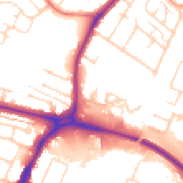
Daytime· 07:00 – 23:00
53.8dB

Night-time· 23:00 – 07:00
45.4dB