11 Colne Way, Watford, WD25 9DB
About 11 Colne Way
11 Colne Way is a three-bedroom detached house in Watford (WD25 9DB). It has a recorded floor area of 101 m² (around 1087 sq ft), construction records dating it to 1930-1949 and council tax band E. The latest certificate (April 2017) shows an E (score 50), well below the UK norm with real room to improve. The recommended improvements would lift it to C (score 77), a 2-band jump.
Today's modelled estimate of £618,000 is 24.8% above the 2017 sale price. On a £-per-square-foot basis, the last sale (£455/sq ft) was about 53.8% above the typical sold price in the postcode. Last changed hands 9 years ago, in November 2017.
What this property has
Inside
- Bedrooms3
- Bathrooms2
- Dining roomYes
- CloakroomYes
Outside
- Private gardenRear
- GarageYes
Everything you need to know about 11 Colne Way
The true value, the hidden risks and the full sale history, in one report.
30-day money-back guarantee

The data behind every report


Energy performance
11 Colne Way's carbon output runs well above what efficient homes in the postcode produce.
EPC Rating
Planning history
11 Colne Way has no planning applications on record.
The full report still covers planning activity across the surrounding area.
Sales history & valuation
11 Colne Way valuation sits well clear of the typical sold price in this postcode.
£618,000
Modelled from EPC, postcode comparables.
£495,000
Recorded with HM Land Registry.
Sales timeline
17 November 2017Most recent
£495,000
Median price across the last 5 sales in WD25 9DB: £525,000 (2025–2015).
Versus other Colne Way homes
Price per m² for 11 Colne Way runs comfortably ahead of the street norm.
Price per m²
£4,901
Street avg £4,120
Floor Area
101 m²
Street avg 115 m²
Habitable Rooms
6 rooms
Street avg 5 rooms
CO₂ Emissions
6.4 t/year
Street avg 5.8 t/year
Everything you need to know about 11 Colne Way
The true value, the hidden risks and the full sale history, in one report.
30-day money-back guarantee
The data behind every report
Similar properties nearby
1 Cuffley Avenue
WD25 9RB
1 Falcon Way
WD25 9AA
1 Felden Close
WD25 9QW
1 Bovingdon Crescent
WD25 9RA
1 Avalon Close
WD25 9TW
1 Bucknalls Close
WD25 9NB
1 Coates Way
WD25 9NR
1 Biddenham Court, First Avenue
WD25 9PT
The neighbourhood at a glance
Rail-style transport is unusually close for this postcode.
Crime
4/mo
Steady year-on-year across the wider district.
Nearest stop
0.1 km
Widgeon Way — bus stop.
Closest school
0.8 km
Knutsford Primary Academy. 24 schools nearby.
Go deeper on the local area
The full report breaks down crime, transport links, schools and air quality in depth.
Road noise across the postcode
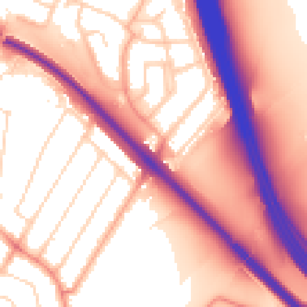
Daytime· 07:00 – 23:00
58.3dB

Night-time· 23:00 – 07:00
51.0dB