19 Grasmere Close, Watford, WD25 7JH
About 19 Grasmere Close
19 Grasmere Close is a one-bedroom mid-terrace house in Watford (WD25 7JH). It has a recorded floor area of 36 m² (around 388 sq ft), construction records dating it to 1983-1990 and council tax band B. Tenure is freehold. At 36 m² this is the 4th smallest of 17 units on EPC record in the building, where floor areas span 35–49 m². The building's EPC ratings span E to C, with this unit at the top. The home occupies a cul-de-sac position. The latest certificate (March 2025) shows a C (score 71). Main heating runs on electricity.
Untraded for 22 years, with the last transfer in June 2004. Across 2000–2004, sale prices on this property compounded at 13.4% per year. Today's modelled estimate of £192,000 sits 57.4% above the 2004 sale of £122,000. On a £-per-square-foot basis, the last sale (£315/sq ft) was about 24.2% above the typical sold price in the postcode.
What this property has
Inside
- Bedrooms1
- Bathrooms1
- Open-plan layoutYes
- StudyYes
Outside
- Communal gardenYes
- Cul-de-sacYes
Building
- TenureFreehold
- RefurbishedYes
Everything you need to know about 19 Grasmere Close
The true value, the hidden risks and the full sale history, in one report.
30-day money-back guarantee

The data behind every report


Energy performance
EPC Rating
Planning history
19 Grasmere Close has no planning applications on record.
The full report still covers planning activity across the surrounding area.
Sales history & valuation
19 Grasmere Close valuation sits well clear of the typical sold price in this postcode.
£192,000
Modelled from EPC, postcode comparables and a sale-price growth of 13.4% per year over 4 years.
£122,000
Growth on file: 13.4% per year over 4 years.
Sales timeline
3 June 2004Most recent
£122,000
+64.9%over 3 years8 June 2000
£74,000
Median price across the last 5 sales in WD25 7JH: £212,000 (2024–2017).
Nearby sales in WD25 7JH
Versus other Grasmere Close homes
Years Held for 19 Grasmere Close runs comfortably ahead of the street norm.
Price per m²
£3,389
Street avg £3,322
Floor Area
36 m²
Street avg 41 m²
Habitable Rooms
2 rooms
Street avg 2 rooms
CO₂ Emissions
2.5 t/year
Street avg 2.6 t/year
Everything you need to know about 19 Grasmere Close
The true value, the hidden risks and the full sale history, in one report.
30-day money-back guarantee
The data behind every report
Similar properties nearby
1 Grasmere Close
WD25 7JH
1 Cheshire Drive, Leavesden
WD25 7GP
1 Foxlands Close, Leavesden
WD25 7LY
1 Campion Close
WD25 7PL
1 Harding Close
WD25 7PE
1 Ganders Ash
WD25 7HE
1 Blackthorn Close
WD25 7EL
1 De Havilland Apartments, Bateson Drive, Leavesden
WD25 7DY
The neighbourhood at a glance
Crime
4/mo
Steady year-on-year across the wider district.
Nearest stop
0.2 km
Orchard Avenue — bus stop.
Closest school
0.3 km
Alban Wood Primary School and Nursery. 22 schools nearby.
Go deeper on the local area
The full report breaks down crime, transport links, schools and air quality in depth.
Road noise across the postcode
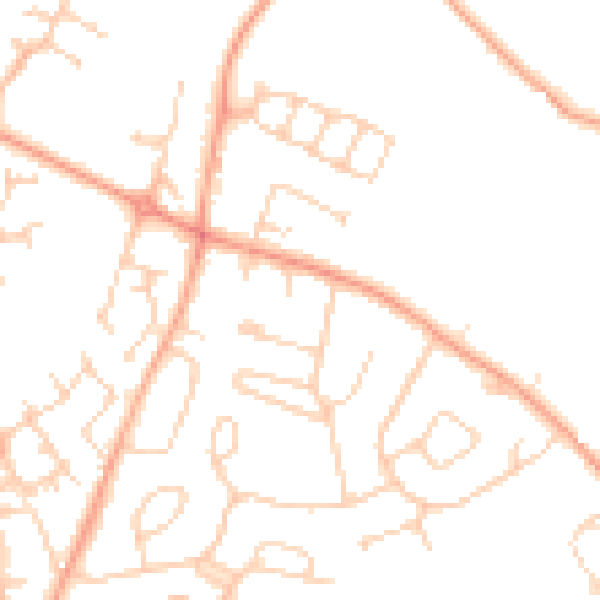
Daytime· 07:00 – 23:00
50.0dB

Night-time· 23:00 – 07:00
40.5dB