9 Ennerdale Drive, Watford, WD25 0NG
About 9 Ennerdale Drive
9 Ennerdale Drive is a three-bedroom property in Watford (WD25 0NG). It has council tax band D.
Untraded for 19 years, with the last transfer in June 2007. That sale landed at the peak of the pre-credit-crunch market, which is a useful reference point when interpreting the price. Across 2003–2007, sale prices on this property compounded at 8.1% per year. One historical planning record sits against the property in 2004.
What this property has
Inside
- Bedrooms3
- EnsuiteYes
Outside
- Private gardenYes
- ParkingAllocated
Everything you need to know about 9 Ennerdale Drive
The true value, the hidden risks and the full sale history, in one report.
30-day money-back guarantee

The data behind every report


Energy performance
No EPC on record
This property doesn't have an Energy Performance Certificate yet. An EPC is required to sell or let — and unlocks our automated valuation.
Planning history
- Sept 2004ConservatoryFullIn report
Extension: Rear of property
Erection of rear conservatory
Extension- Documents
- 14 docs on file
- Reference
- 04/00726/FUL
What's in 9 Ennerdale Drive, Watford, WD25 0NG's planning history?
Refusals, disputes and full decisions on this property and nearby, in the report.
Sales history & valuation
The latest sale landed at the peak of the pre-credit-crunch market — a high-water reference point.
£239,950
Growth on file: 8.1% per year over 4 years.
Sales timeline
27 June 2007Most recent
£239,950
+33.3%over 3 years23 October 2003
£180,000
Median price across the last 5 sales in WD25 0NG: £505,000 (2025–2022).
Nearby sales in WD25 0NG
Everything you need to know about 9 Ennerdale Drive
The true value, the hidden risks and the full sale history, in one report.
30-day money-back guarantee
The data behind every report
Similar properties nearby
1 Derwent Close
WD25 0NQ
1 Austin Villas, Woodside Road
WD25 0GD
1 Bramble Close
WD25 0HF
1 Ennerdale Drive
WD25 0NG
1 All Saints Crescent
WD25 0LU
1 Coopers Mews
WD25 0JD
1 Cedar Wood Drive
WD25 0RR
1 Alder Walk
WD25 0RT
The neighbourhood at a glance
Crime
4/mo
Steady year-on-year across the wider district.
Nearest stop
0.4 km
Lamb Close — bus stop.
Closest school
0.6 km
St Catherine of Siena Catholic Primary School. 23 schools nearby.
Go deeper on the local area
The full report breaks down crime, transport links, schools and air quality in depth.
Road noise across the postcode
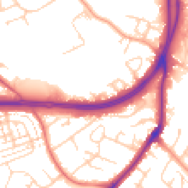
Daytime· 07:00 – 23:00
54.3dB

Night-time· 23:00 – 07:00
46.2dB