11 Ennerdale Drive, Watford, WD25 0NG
About 11 Ennerdale Drive
11 Ennerdale Drive is a two-bedroom end-of-terrace house in Watford (WD25 0NG). It has a recorded floor area of 61 m² (around 657 sq ft), construction records dating it to 1996-2002 and council tax band D. The latest certificate (April 2024) shows a C (score 74). The recommended improvements would push it to B (score 88).
It hasn't traded since November 2003, a hold of 23 years that's notably long for the area. Today's modelled estimate of £433,000 sits 134.1% above the 2003 sale of £185,000. At 61 m² it sits well below the postcode median (111 m² across 25 EPCs), making it one of the more compact homes locally. One historical planning record sits against the property in 2014.
What this property has
Inside
- Bedrooms2
- Bathrooms1
- Open-plan layoutYes
- Dining roomYes
Outside
- Private gardenRear
- ParkingOff street
Everything you need to know about 11 Ennerdale Drive
The true value, the hidden risks and the full sale history, in one report.
30-day money-back guarantee

The data behind every report


Energy performance
EPC Rating
Planning history
- Dec 2014Tree WorksTreesIn report
Works to trees under TPO.59
- Documents
- 2 docs on file
- Reference
- 14/01605/TPO
What's in 11 Ennerdale Drive, Watford, WD25 0NG's planning history?
Refusals, disputes and full decisions on this property and nearby, in the report.
Sales history & valuation
11 Ennerdale Drive valuation sits well clear of the typical sold price in this postcode.
£433,000
Modelled from EPC, postcode comparables.
£185,000
Recorded with HM Land Registry.
Sales timeline
3 November 2003Most recent
£185,000
Median price across the last 5 sales in WD25 0NG: £505,000 (2025–2022).
Nearby sales in WD25 0NG
Versus other Ennerdale Drive homes
On years held, 11 Ennerdale Drive stands well clear of the street.
Price per m²
£3,033
Street avg £3,952
Floor Area
61 m²
Street avg 100 m²
Habitable Rooms
3 rooms
Street avg 4 rooms
CO₂ Emissions
1.9 t/year
Street avg 2.0 t/year
Everything you need to know about 11 Ennerdale Drive
The true value, the hidden risks and the full sale history, in one report.
30-day money-back guarantee
The data behind every report
Similar properties nearby
1 Cedar Wood Drive
WD25 0RR
1 Alder Walk
WD25 0RT
1 Aspen Park Drive
WD25 0RS
1 Avon Close
WD25 0DN
1 Derwent Close
WD25 0NQ
1 Austin Villas, Woodside Road
WD25 0GD
1 Bramble Close
WD25 0HF
1 All Saints Crescent
WD25 0LU
The neighbourhood at a glance
Crime
4/mo
Steady year-on-year across the wider district.
Nearest stop
0.4 km
Lamb Close — bus stop.
Closest school
0.6 km
St Catherine of Siena Catholic Primary School. 23 schools nearby.
Go deeper on the local area
The full report breaks down crime, transport links, schools and air quality in depth.
Road noise across the postcode
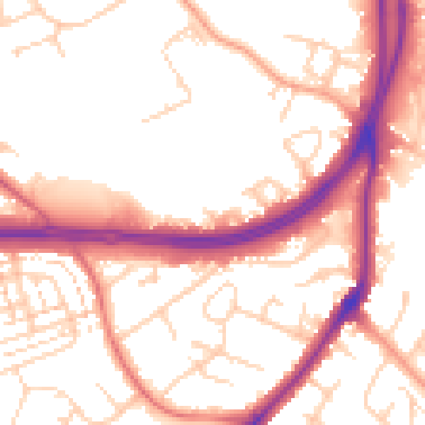
Daytime· 07:00 – 23:00
54.3dB

Night-time· 23:00 – 07:00
46.2dB