52 Clarke Way, Watford, WD25 0BU
About 52 Clarke Way
52 Clarke Way is a four-bedroom semi-detached house in Watford (WD25 0BU). It has a recorded floor area of 113 m² (around 1216 sq ft), construction records dating it to 1950-1966 and council tax band D. The latest certificate (April 2019) shows an E (score 52), well below the UK norm with real room to improve. The recommended improvements would lift it to B (score 83), a 3-band jump. Other recorded features include a loft. Records show the property has been extended at some point in its history.
At 113 m² it's 29.9% larger than the typical home in the postcode (87 m² median across 9 EPCs). Across 1997–2019, sale prices on this property compounded at 7.9% per year. Today's modelled estimate of £531,000 is 26.4% above the 2019 sale price. Sold August 2019 for £420,000.
What this property has
Inside
- Bedrooms4
- Bathrooms1
- Utility roomYes
- CloakroomYes
- EnsuiteYes
- StudyYes
- LoftYes
Building
- Previously extendedYes
Everything you need to know about 52 Clarke Way
The true value, the hidden risks and the full sale history, in one report.
30-day money-back guarantee

The data behind every report


Energy performance
52 Clarke Way's carbon output runs well above what efficient homes in the postcode produce.
EPC Rating
Planning history
52 Clarke Way has no planning applications on record.
Notable planning nearby
2applications of note in the surrounding area
Sales history & valuation
Price for 52 Clarke Way has grown more than fourfold since the 1997 starting point.
£531,000
Modelled from EPC, postcode comparables and a sale-price growth of 7.9% per year over 22 years.
£420,000
Growth on file: 7.9% per year over 22 years.
Sales timeline
29 August 2019Most recent
£420,000
+452.6%over 22 years10 April 1997
£76,000
Median price across the last 5 sales in WD25 0BU: £325,000 (2021–1996).
Versus other Clarke Way homes
On co₂ emissions, 52 Clarke Way runs well behind the street norm.
Price per m²
£3,717
Street avg £3,767
Floor Area
113 m²
Street avg 95 m²
Habitable Rooms
6 rooms
Street avg 5 rooms
CO₂ Emissions
6.7 t/year
Street avg 4.1 t/year
Everything you need to know about 52 Clarke Way
The true value, the hidden risks and the full sale history, in one report.
30-day money-back guarantee
The data behind every report
Similar properties nearby
1 Cypress Walk
WD25 0RY
1 Elderberry Way
WD25 0RW
1 Ennerdale Drive
WD25 0NG
1 Ash Close
WD25 0RU
1 Bramble Close
WD25 0HF
1 Austin Villas, Woodside Road
WD25 0GD
1 Derwent Close
WD25 0NQ
1 All Saints Crescent
WD25 0LU
The neighbourhood at a glance
Crime
4/mo
Steady year-on-year across the wider district.
Nearest stop
0.2 km
Harris Road — bus stop.
Closest school
0.5 km
Kingsway Junior School. 27 schools nearby.
Go deeper on the local area
The full report breaks down crime, transport links, schools and air quality in depth.
Road noise across the postcode
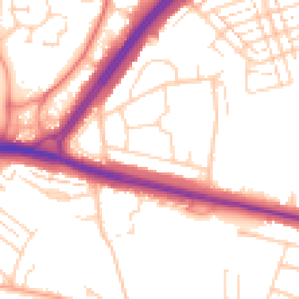
Daytime· 07:00 – 23:00
52.8dB

Night-time· 23:00 – 07:00
43.6dB