46 Clarke Way, Watford, WD25 0BU
About 46 Clarke Way
46 Clarke Way is a three-bedroom semi-detached house in Watford (WD25 0BU). It has a recorded floor area of 85 m² (around 915 sq ft), construction records dating it to 1930-1949 and council tax band D. The latest certificate (June 2021) shows a D (score 68), on the cusp of jumping into the C band. The recommended improvements would lift it to B (score 82), a 2-band jump.
Today's modelled estimate of £537,000 is 20.7% above the 2021 sale price. On a £-per-square-foot basis, the last sale (£486/sq ft) was about 74.4% above the typical sold price in the postcode. Sold October 2021 for £445,000. That sale was during the post-pandemic price surge, when transactions cleared materially above pre-2020 trend.
What this property has
Inside
- Bedrooms3
- Bathrooms1
- Dining roomYes
- EnsuiteYes
Outside
- Private gardenRear
Building
- RefurbishedYes
Everything you need to know about 46 Clarke Way
The true value, the hidden risks and the full sale history, in one report.
30-day money-back guarantee

The data behind every report


Energy performance
Recommended upgrades on file would lift this property by multiple EPC bands.
EPC Rating
Planning history
46 Clarke Way has no planning applications on record.
Notable planning nearby
2applications of note in the surrounding area
Sales history & valuation
Latest sale on 46 Clarke Way was the highest on Land Registry record across the postcode.
£537,000
Modelled from EPC, postcode comparables.
£445,000
Recorded with HM Land Registry.
Sales timeline
28 October 2021Most recent
£445,000
Median price across the last 5 sales in WD25 0BU: £325,000 (2019–1997).
Versus other Clarke Way homes
Price per m² for 46 Clarke Way runs comfortably ahead of the street norm.
Price per m²
£5,235
Street avg £3,261
Floor Area
85 m²
Street avg 98 m²
Habitable Rooms
4 rooms
Street avg 5 rooms
CO₂ Emissions
3.3 t/year
Street avg 4.4 t/year
Everything you need to know about 46 Clarke Way
The true value, the hidden risks and the full sale history, in one report.
30-day money-back guarantee
The data behind every report
Similar properties nearby
1 Bramble Close
WD25 0HF
1 Austin Villas, Woodside Road
WD25 0GD
1 Derwent Close
WD25 0NQ
1 All Saints Crescent
WD25 0LU
1 Coopers Mews
WD25 0JD
1 Avon Close
WD25 0DN
1 Aspen Park Drive
WD25 0RS
1 Cypress Walk
WD25 0RY
The neighbourhood at a glance
Crime
4/mo
Steady year-on-year across the wider district.
Nearest stop
0.2 km
Harris Road — bus stop.
Closest school
0.5 km
Kingsway Junior School. 27 schools nearby.
Go deeper on the local area
The full report breaks down crime, transport links, schools and air quality in depth.
Road noise across the postcode
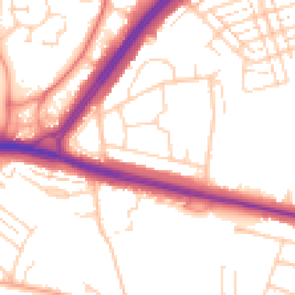
Daytime· 07:00 – 23:00
52.8dB

Night-time· 23:00 – 07:00
43.6dB