73 Harris Road, Watford, WD25 0AZ
About 73 Harris Road
73 Harris Road is a three-bedroom semi-detached house in Watford (WD25 0AZ). It has a recorded floor area of 86 m² (around 926 sq ft), construction records dating it to 1950-1966 and council tax band D. The latest certificate (March 2022) shows a D (score 65), on the cusp of jumping into the C band. The recommended improvements would lift it to B (score 81), a 2-band jump. Other recorded features include outbuildings. Our model identifies extension potential, subject to local planning policy.
Across 1999–2022, sale prices on this property compounded at 7.2% per year. On a £-per-square-foot basis, the last sale (£521/sq ft) was about 26.8% above the typical sold price in the postcode. Most recent transfer: September 2022 at £482,500. That sale was during the post-pandemic price surge, when transactions cleared materially above pre-2020 trend.
What this property has
Inside
- Bedrooms3
- Bathrooms1
- Dining roomYes
- Utility roomYes
- CloakroomYes
- FireplaceYes
Outside
- OutbuildingsYes
Building
- Extension potentialPossible
Everything you need to know about 73 Harris Road
The true value, the hidden risks and the full sale history, in one report.
30-day money-back guarantee

The data behind every report


Energy performance
Recommended upgrades on file would lift this property by multiple EPC bands.
EPC Rating
Planning history
73 Harris Road has no planning applications on record.
Notable planning nearby
2applications of note in the surrounding area
Sales history & valuation
73 Harris Road has more than quadrupled in price since its earliest registered sale in 1999.
£516,000
Modelled from EPC, postcode comparables and a sale-price growth of 7.2% per year over 23 years.
£482,500
Growth on file: 7.2% per year over 23 years.
Sales timeline
1 September 2022Most recent
£482,500
+407.9%over 23 years20 May 1999
£95,000
Median price across the last 5 sales in WD25 0AZ: £439,000 (2023–2016).
Versus other Harris Road homes
On price per m², 73 Harris Road stands well clear of the street.
Price per m²
£5,610
Street avg £4,103
Floor Area
86 m²
Street avg 103 m²
Habitable Rooms
5 rooms
Street avg 5 rooms
CO₂ Emissions
3.4 t/year
Street avg 3.7 t/year
Everything you need to know about 73 Harris Road
The true value, the hidden risks and the full sale history, in one report.
30-day money-back guarantee
The data behind every report
Similar properties nearby
1 Bramble Close
WD25 0HF
1 Austin Villas, Woodside Road
WD25 0GD
1 Derwent Close
WD25 0NQ
1 All Saints Crescent
WD25 0LU
1 Coopers Mews
WD25 0JD
1 Avon Close
WD25 0DN
1 Aspen Park Drive
WD25 0RS
1 Alder Walk
WD25 0RT
The neighbourhood at a glance
Crime
4/mo
Steady year-on-year across the wider district.
Nearest stop
0.1 km
Harris Road — bus stop.
Closest school
0.3 km
Kingsway Junior School. 28 schools nearby.
Go deeper on the local area
The full report breaks down crime, transport links, schools and air quality in depth.
Road noise across the postcode
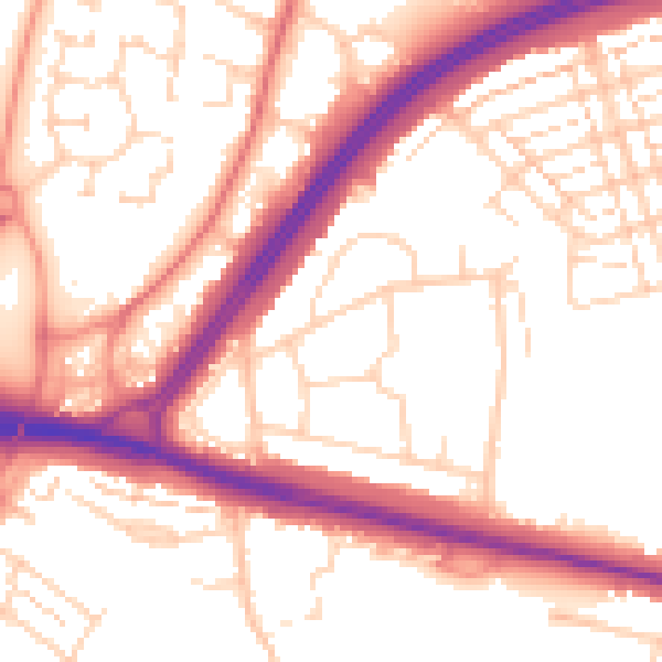
Daytime· 07:00 – 23:00
54.4dB

Night-time· 23:00 – 07:00
45.2dB