20 Brushrise, Watford, WD24 6SZ
About 20 Brushrise
20 Brushrise is a three-bedroom mid-terrace house in Watford (WD24 6SZ). It has a recorded floor area of 77 m² (around 829 sq ft), construction records dating it to 1967-1975 and council tax band C. The latest certificate (November 2017) shows a D (score 63), on the cusp of jumping into the C band. The recommended improvements would lift it to B (score 88), a 2-band jump.
At 77 m² it's 29.6% larger than the typical home in the postcode (59 m² median across 25 EPCs). Across 1995–2018, sale prices on this property compounded at 7.6% per year. Today's modelled estimate of £400,000 is 31.1% above the 2018 sale price. On a £-per-square-foot basis, the last sale (£368/sq ft) was about 31.2% above the typical sold price in the postcode. On the market in February 2018 and unlisted since — roughly 8 years.
What this property has
Inside
- Bedrooms3
- Bathrooms1
- Dining roomYes
Outside
- Private gardenYes
- ParkingAllocated
Building
- Central heatingYes
Everything you need to know about 20 Brushrise
The true value, the hidden risks and the full sale history, in one report.
30-day money-back guarantee

The data behind every report


Energy performance
Recommended upgrades on file would lift this property by multiple EPC bands.
EPC Rating
Planning history
20 Brushrise has no planning applications on record.
Notable planning nearby
4applications of note in the surrounding area
We flagged 1 thing worth checking at 20 Brushrise
Independent checks surfaced things a buyer would want to understand before offering. The report explains each one in full, with the underlying data and what to ask.
- Signs of HMO activity in the area
30-day money-back guarantee
Sales history & valuation
20 Brushrise has more than quadrupled in price since its earliest registered sale in 1995.
£400,000
Modelled from EPC, postcode comparables and a sale-price growth of 7.6% per year over 23 years.
£305,000
Growth on file: 7.6% per year over 23 years.
Sales timeline
16 February 2018Most recent
£305,000
+435.1%over 22 years27 February 1995
£57,000
Median price across the last 5 sales in WD24 6SZ: £247,000 (2022–2020).
Versus other Brushrise homes
20 Brushrise outperforms the street on price per m² by a wide margin.
Price per m²
£3,961
Street avg £3,613
Floor Area
77 m²
Street avg 80 m²
Habitable Rooms
4 rooms
Street avg 5 rooms
CO₂ Emissions
3.7 t/year
Street avg 3.7 t/year
Everything you need to know about 20 Brushrise
The true value, the hidden risks and the full sale history, in one report.
30-day money-back guarantee
The data behind every report
Similar properties nearby
The neighbourhood at a glance
Reported crime in the wider district is trending notably upward year-on-year.
Crime
4/mo
Rising year-on-year across the wider district.
Nearest stop
0.3 km
Brett Place — bus stop.
Closest school
0.1 km
Cherry Tree Primary School. 32 schools nearby.
Go deeper on the local area
The full report breaks down crime, transport links, schools and air quality in depth.
Road noise across the postcode
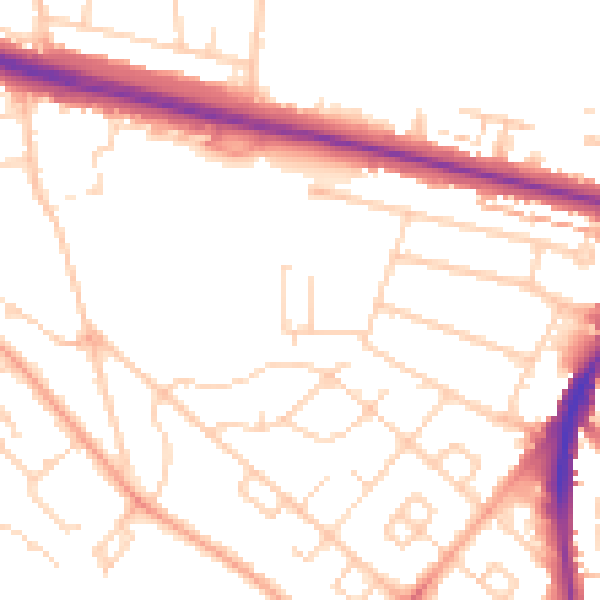
Daytime· 07:00 – 23:00
51.4dB

Night-time· 23:00 – 07:00
41.5dB