5 Broom Grove, Watford, WD17 4RY
About 5 Broom Grove
5 Broom Grove is a four-bedroom detached house in Watford (WD17 4RY). It has a recorded floor area of 68 m² (around 729 sq ft), construction records dating it to 1967-1975 and council tax band F. The latest certificate (February 2010) shows an F (score 35), near the bottom of the EPC scale. The recommended improvements would push it to E (score 41). The latest certificate is from February 2010, so improvements made since then won't be reflected.
At 68 m² it sits well below the postcode median (140 m² across 4 EPCs), making it one of the more compact homes locally. On energy efficiency it sits in the bottom 10% of properties in this postcode — significant headroom for improvement. Today's modelled estimate of £679,000 is 35.8% above the 2013 sale price. On a £-per-square-foot basis, the last sale (£686/sq ft) was about 104.8% above the typical sold price in the postcode. Last changed hands 13 years ago, in May 2013.
What this property has
Inside
- Bedrooms4
Everything you need to know about 5 Broom Grove
The true value, the hidden risks and the full sale history, in one report.
30-day money-back guarantee

The data behind every report


Energy performance
5 Broom Grove sits at the bottom of the postcode for energy efficiency — meaningful headroom to improve.
EPC Expired
This certificate is over 10 years old and is no longer valid.Expired 12 Feb 2020
EPC Rating
Planning history
5 Broom Grove has no planning applications on record.
Notable planning nearby
3applications of note in the surrounding area
Sales history & valuation
5 Broom Grove valuation sits well clear of the typical sold price in this postcode.
£679,000
Modelled from EPC, postcode comparables.
£499,950
Recorded with HM Land Registry.
Sales timeline
14 May 2013Most recent
£499,950
Median price across the last 5 sales in WD17 4RY: £485,000 (2020–2005).
Versus other Broom Grove homes
On price per m², 5 Broom Grove stands well clear of the street.
Price per m²
£7,383
Street avg £4,061
Floor Area
68 m²
Street avg 145 m²
Habitable Rooms
7 rooms
Street avg 6 rooms
CO₂ Emissions
9.5 t/year
Street avg 7.0 t/year
Everything you need to know about 5 Broom Grove
The true value, the hidden risks and the full sale history, in one report.
30-day money-back guarantee
The data behind every report
Similar properties nearby
The neighbourhood at a glance
Daytime road noise here sits well below conversation level — a quiet pocket of the postcode.
Crime
10/mo
Steady year-on-year across the wider district.
Nearest stop
0.2 km
Bay Tree Walk — bus stop.
Closest school
0.2 km
Nascot Wood Infant and Nursery School. 34 schools nearby.
Go deeper on the local area
The full report breaks down crime, transport links, schools and air quality in depth.
Road noise across the postcode
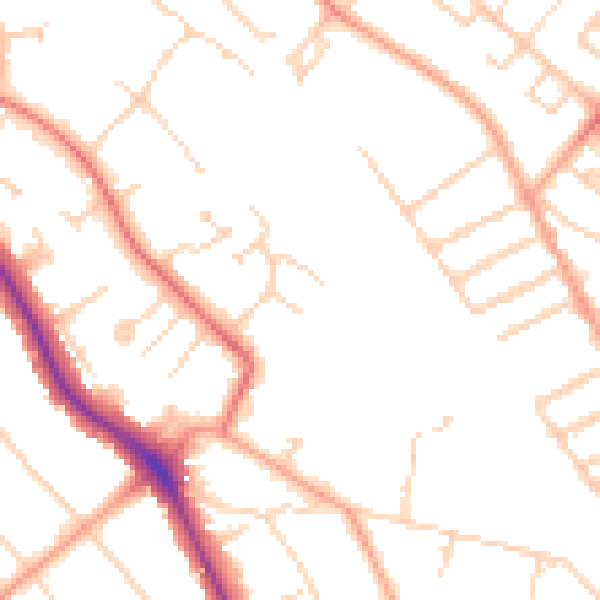
Daytime· 07:00 – 23:00
49.0dB

Night-time· 23:00 – 07:00
39.5dB