12a, Woodford Road, Watford, WD17 1PA
About 12a
12a is an end-of-terrace house in Watford (WD17 1PA). It has a recorded floor area of 41 m² (around 441 sq ft), construction records dating it to 1900-1929 and council tax band B. At 41 m² this is the 3rd smallest of 22 units on EPC record in the building, where floor areas span 39–239 m². The building's EPC ratings span E to C across 22 units on file. The latest certificate (April 2024) shows a D (score 60), on the cusp of jumping into the C band.
Untraded for 23 years, with the last transfer in January 2003. Today's modelled estimate of £264,000 sits 76% above the 2003 sale of £150,000. On a £-per-square-foot basis, the last sale (£340/sq ft) was about 91.9% above the typical sold price in the postcode. At 41 m² it sits well below the postcode median (68 m² across 21 EPCs), making it one of the more compact homes locally. One planning record on file: an extension refused in 2016.
Everything you need to know about 12a
The true value, the hidden risks and the full sale history, in one report.
30-day money-back guarantee

The data behind every report


Energy performance
EPC Rating
Planning history
- Jun 2016ExtensionFullIn report
Extension: Rear of property
Erection of a rear extension to both first floor flats.
- Documents
- 29 docs on file
- Reference
- 16/00573/FUL
We flagged 2 things worth checking at 12a
Independent checks surfaced things a buyer would want to understand before offering. The report explains each one in full, with the underlying data and what to ask.
- Signs of HMO activity in the area
- Larger development activity nearby
30-day money-back guarantee
Sales history & valuation
12a valuation sits well clear of the typical sold price in this postcode.
£264,000
Modelled from EPC, postcode comparables.
£150,000
Recorded with HM Land Registry.
Sales timeline
17 January 2003Most recent
£150,000
Median price across the last 5 sales in WD17 1PA: £260,000 (2025–2018).
Nearby sales in WD17 1PA
Versus other Woodford Road homes
12a is notably below the street on floor area.
Price per m²
£3,659
Street avg £3,019
Floor Area
41 m²
Street avg 53 m²
Habitable Rooms
3 rooms
Street avg 3 rooms
CO₂ Emissions
2.7 t/year
Street avg 2.7 t/year
Everything you need to know about 12a
The true value, the hidden risks and the full sale history, in one report.
30-day money-back guarantee
The data behind every report
Similar properties nearby
103 105, Flat 4, St Albans Road
WD17 1RD
1 Terrace Gardens
WD17 1RB
10 St Johns Road
WD17 1PT
1 Elm Court, Albert Road South
WD17 1QQ
1 Woodford Road
WD17 1PB
109a, St Albans Road
WD17 1RD
103 105, Flat 2, St Albans Road
WD17 1RD
103 105, Flat 1, St Albans Road
WD17 1RD
The neighbourhood at a glance
Rail-style transport is unusually close for this postcode.
Crime
10/mo
Steady year-on-year across the wider district.
Nearest stop
0.2 km
Watford Junction Rail Station — railway station.
Closest school
0.4 km
Watford St John's Church of England Primary School. 35 schools nearby.
Go deeper on the local area
The full report breaks down crime, transport links, schools and air quality in depth.
Road noise across the postcode
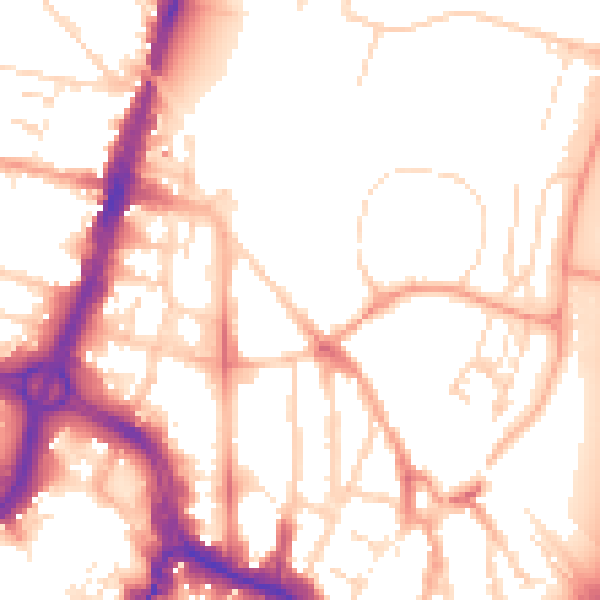
Daytime· 07:00 – 23:00
53.6dB

Night-time· 23:00 – 07:00
44.1dB