81b, Whitefield Road, Stockton Heath, Warrington, WA4 6NB
About 81b
81b is a detached house in Stockton Heath, Warrington, Warrington (WA4 6NB). It has a recorded floor area of 186 m² (around 2002 sq ft). The latest certificate (March 2019) returns a B (score 83), comfortably above the UK average. Main heating runs on electricity: electricity, unspecified tariff.
At 186 m² the property is well over the postcode median (98 m² across 19 EPCs), placing it in the larger end of the local stock. Its energy rating outperforms most of the postcode (better than 79% of similar EPCs).
Everything you need to know about 81b
The true value, the hidden risks and the full sale history, in one report.
Pick your report · every report is £14.99
One time fee only - money back guarantee

The data behind every report


Energy performance
EPC Rating
Get a survey for this property
Level 2 HomeBuyer Report
We've checked 10 risk factors against the available data for this property and believe a Level 2 HomeBuyer Report could be a suitable option for you.
From £995 · Includes VAT
Planning history
81b has no planning applications on record.
A planning report still maps activity across the surrounding area and reads this property's extension & conversion potential.
Sales history & valuation
81b has no Land Registry sales on file, suggesting it has stayed in the same hands since registration began.
£745,000
Modelled from EPC, postcode comparables.
No sales recorded with HM Land Registry
That can mean the property has never traded since the registry began publishing in 1995, was a new build that hasn't been registered yet, or is held in the same hands long-term.
Median price across the last 5 sales in WA4 6NB: £614,100 (2025–2021).
Nearby sales in WA4 6NB
Apartment 5, 83 Whitefield Road, Stockton Heath, Warrington, WA4 6NB
Sold Feb 2025
£165,00078 Whitefield Road, Stockton Heath, Warrington, WA4 6NB
Sold Feb 2025
£685,000Apartment 4, 83 Whitefield Road, Stockton Heath, Warrington, WA4 6NB
Sold Mar 2023
£155,00088 Whitefield Road, Stockton Heath, Warrington, WA4 6NB
Sold Sept 2021
£630,00084 Whitefield Road, Stockton Heath, Warrington, WA4 6NB
Sold Mar 2021
£614,100
Versus other Whitefield Road homes
81b outperforms the street on epc rating by a wide margin.
EPC Rating
83 (B)
Street avg 57 (D)
Floor Area
186 m²
Street avg 214 m²
CO₂ Emissions
2.6 t/year
Street avg 9.7 t/year
Everything you need to know about 81b
The true value, the hidden risks and the full sale history, in one report.
Pick your report · every report is £14.99
One time fee only - money back guarantee
The data behind every report
Similar properties nearby
1 Brickfield Cottage, Delph Lane, Daresbury
WA4 6SS
1 Chelford Close, Stockton Heath
WA4 6PL
1 Calderfield Close, Stockton Heath
WA4 6PJ
1 Cambridge Close, Stockton Heath
WA4 6SF
1 Carlingford Road, Stockton Heath
WA4 6SA
1 Belvoir Road, Walton
WA4 6PE
1 Carlton Street, Stockton Heath
WA4 6LX
1 Bramley Mews, Stockton Heath
WA4 6PR
The neighbourhood at a glance
Crime
2/mo
Steady year-on-year across the wider district.
Nearest stop
0.1 km
Granby Road — bus stop.
Closest school
0.5 km
Stockton Heath Primary School. 14 schools nearby.
Go deeper on the local area
A Local Area report breaks down crime, transport links, schools and air quality in depth.
Road noise across the postcode
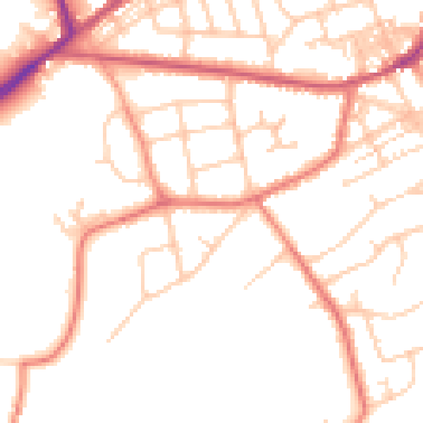
Daytime· 07:00 – 23:00
50.4dB

Night-time· 23:00 – 07:00
40.3dB