34 Dunnock Grove, Birchwood, Warrington, WA3 6NW
About 34 Dunnock Grove
34 Dunnock Grove is a two-bedroom semi-detached house in Birchwood, Warrington, Warrington (WA3 6NW). It has a recorded floor area of 59 m² (around 635 sq ft), construction records dating it to 1983-1990 and council tax band A. The latest certificate (July 2018) shows a D (score 62), on the cusp of jumping into the C band. The recommended improvements would lift it to B (score 88), a 2-band jump.
Today's modelled estimate of £176,000 sits 69.2% above the 2019 sale of £104,000. On a £-per-square-foot basis, the last sale (£164/sq ft) was about 91% above the typical sold price in the postcode. At 59 m² it sits well below the postcode median (86 m² across 42 EPCs), making it one of the more compact homes locally. It lags the bulk of the postcode on energy efficiency (less efficient than 76% of similar EPCs). Most recent transfer: June 2019 at £104,000.
What this property has
Inside
- Bedrooms2
- Bathrooms1
Outside
- Private gardenYes
- ParkingOff road
Building
- RefurbishedYes
Everything you need to know about 34 Dunnock Grove
The true value, the hidden risks and the full sale history, in one report.
Pick your report · every report is £14.99
One time fee only - money back guarantee

The data behind every report


Energy performance
Recommended upgrades on file would lift this property by multiple EPC bands.
EPC Rating
Get a survey for this property
Level 2 HomeBuyer Report
We've checked 10 risk factors against the available data for this property and believe a Level 2 HomeBuyer Report could be a suitable option for you.
From £495 · Includes VAT
Planning history
34 Dunnock Grove has no planning applications on record.
A planning report still maps activity across the surrounding area and reads this property's extension & conversion potential.
Sales history & valuation
34 Dunnock Grove valuation sits well clear of the typical sold price in this postcode.
£176,000
Modelled from EPC, postcode comparables.
£104,000
Recorded with HM Land Registry.
Sales timeline
17 June 2019Most recent
£104,000
Median price across the last 5 sales in WA3 6NW: £145,000 (2025–2015).
Nearby sales in WA3 6NW
9 Dunnock Grove, Birchwood, Warrington, WA3 6NW
Sold Jan 2025
£145,00061 Dunnock Grove, Birchwood, Warrington, WA3 6NW
Sold Jul 2023
£167,50012 Dunnock Grove, Birchwood, Warrington, WA3 6NW
Sold Nov 2020
£128,00016 Dunnock Grove, Birchwood, Warrington, WA3 6NW
Sold Apr 2015
£105,00026 Dunnock Grove, Birchwood, Warrington, WA3 6NW
Sold Sept 2014
£85,500
Versus other Dunnock Grove homes
On price per m², 34 Dunnock Grove stands well clear of the street.
Price per m²
£1,763
Street avg £1,150
Floor Area
59 m²
Street avg 80 m²
Habitable Rooms
3 rooms
Street avg 4 rooms
CO₂ Emissions
3.1 t/year
Street avg 3.0 t/year
Everything you need to know about 34 Dunnock Grove
The true value, the hidden risks and the full sale history, in one report.
Pick your report · every report is £14.99
One time fee only - money back guarantee
The data behind every report
Similar properties nearby
1 Curlew Grove, Birchwood
WA3 6NX
1 Charnwood Close, Birchwood
WA3 6TG
1 Bowland Close, Birchwood
WA3 6TJ
1 Burrough Close, Birchwood
WA3 6QF
1 Armstrong Close, Birchwood
WA3 6DH
1 Barham Court, Birchwood
WA3 6ND
1 Daniel Close, Birchwood
WA3 6QL
1 Bramshill Close, Birchwood
WA3 6TY
The neighbourhood at a glance
Rail-style transport is unusually close for this postcode.
Crime
1/mo
Steady year-on-year across the wider district.
Nearest stop
0.1 km
Ordnance Avenue — bus stop.
Closest school
0.5 km
Birchwood CofE Primary School. 14 schools nearby.
Go deeper on the local area
A Local Area report breaks down crime, transport links, schools and air quality in depth.
Road noise across the postcode
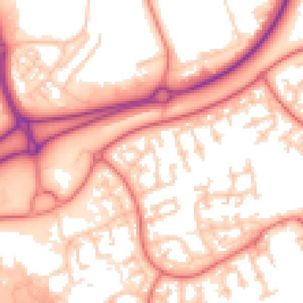
Daytime· 07:00 – 23:00
56.5dB

Night-time· 23:00 – 07:00
47.4dB