16 Dunnock Grove, Birchwood, Warrington, WA3 6NW
About 16 Dunnock Grove
16 Dunnock Grove is a three-bedroom end-of-terrace house in Birchwood, Warrington, Warrington (WA3 6NW). It has a recorded floor area of 81 m² (around 872 sq ft), construction records dating it to 1976-1982 and council tax band A. The latest certificate (March 2015) shows a D (score 62), on the cusp of jumping into the C band. The recommended improvements would lift it to B (score 88), a 2-band jump. The latest certificate is from March 2015, so improvements made since then won't be reflected.
Across 2001–2015, sale prices on this property compounded at 5.2% per year. Today's modelled estimate of £191,000 sits 81.9% above the 2015 sale of £105,000. On a £-per-square-foot basis, the last sale (£120/sq ft) was about 38% above the typical sold price in the postcode. It lags the bulk of the postcode on energy efficiency (less efficient than 76% of similar EPCs). Last sold in April 2015, so it's been off the market for around 11 years.
What this property has
Inside
- Bedrooms3
- Bathrooms1
Outside
- GarageYes
Building
- Heating systemGas
- RefurbishedYes
Everything you need to know about 16 Dunnock Grove
The true value, the hidden risks and the full sale history, in one report.
Pick your report · every report is £14.99
One time fee only - money back guarantee

The data behind every report


Energy performance
Recommended upgrades on file would lift this property by multiple EPC bands.
EPC Expired
This certificate is over 10 years old and is no longer valid.Expired 15 Mar 2025
EPC Rating
Get a survey for this property
Level 2 HomeBuyer Report
We've checked 10 risk factors against the available data for this property and believe a Level 2 HomeBuyer Report could be a suitable option for you.
From £495 · Includes VAT
Planning history
16 Dunnock Grove has no planning applications on record.
A planning report still maps activity across the surrounding area and reads this property's extension & conversion potential.
Sales history & valuation
16 Dunnock Grove has more than doubled in price since the earliest registered sale in 2001.
£191,000
Modelled from EPC, postcode comparables and a sale-price growth of 5.2% per year over 14 years.
£105,000
Growth on file: 5.2% per year over 14 years.
Sales timeline
9 April 2015Most recent
£105,000
+41.9%over 11 years28 November 2003
£74,000
+41.0%over 2 years23 August 2001
£52,500
Median price across the last 5 sales in WA3 6NW: £145,000 (2025–2019).
Nearby sales in WA3 6NW
9 Dunnock Grove, Birchwood, Warrington, WA3 6NW
Sold Jan 2025
£145,00061 Dunnock Grove, Birchwood, Warrington, WA3 6NW
Sold Jul 2023
£167,50012 Dunnock Grove, Birchwood, Warrington, WA3 6NW
Sold Nov 2020
£128,00034 Dunnock Grove, Birchwood, Warrington, WA3 6NW
Sold Jun 2019
£104,00026 Dunnock Grove, Birchwood, Warrington, WA3 6NW
Sold Sept 2014
£85,500
Versus other Dunnock Grove homes
CO₂ Emissions for 16 Dunnock Grove lags the street by a wide margin.
Price per m²
£1,296
Street avg £1,189
Floor Area
81 m²
Street avg 79 m²
Habitable Rooms
4 rooms
Street avg 4 rooms
CO₂ Emissions
4.0 t/year
Street avg 3.0 t/year
Everything you need to know about 16 Dunnock Grove
The true value, the hidden risks and the full sale history, in one report.
Pick your report · every report is £14.99
One time fee only - money back guarantee
The data behind every report
Similar properties nearby
1 Bowland Close, Birchwood
WA3 6TJ
1 Armstrong Close, Birchwood
WA3 6DH
1 Burrough Close, Birchwood
WA3 6QF
1 Barham Court, Birchwood
WA3 6ND
1 Bramshill Close, Birchwood
WA3 6TY
1 Colebrooke Close, Birchwood
WA3 6RY
1 Dove Close, Birchwood
WA3 6QH
1 Charnwood Close, Birchwood
WA3 6TG
The neighbourhood at a glance
Rail-style transport is unusually close for this postcode.
Crime
1/mo
Steady year-on-year across the wider district.
Nearest stop
0.1 km
Ordnance Avenue — bus stop.
Closest school
0.5 km
Birchwood CofE Primary School. 14 schools nearby.
Go deeper on the local area
A Local Area report breaks down crime, transport links, schools and air quality in depth.
Road noise across the postcode
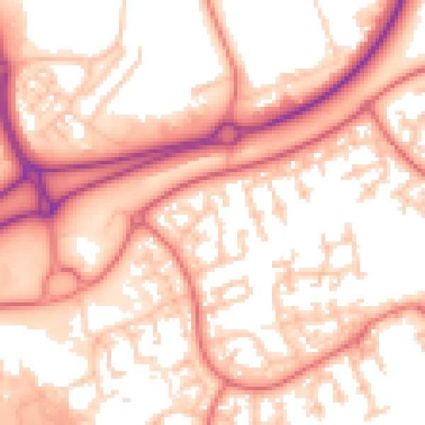
Daytime· 07:00 – 23:00
56.5dB

Night-time· 23:00 – 07:00
47.4dB