26 Dunnock Grove, Birchwood, Warrington, WA3 6NW
About 26 Dunnock Grove
26 Dunnock Grove is an end-of-terrace house in Birchwood, Warrington, Warrington (WA3 6NW). It has a recorded floor area of 91 m² (around 980 sq ft), construction records dating it to 1967-1975 and council tax band B. The latest certificate (July 2014) shows a D (score 62), on the cusp of jumping into the C band. The rating has held steady at D across 2 certificates since May 2014. Between certificates, roof efficiency dropped from Average to Very Poor and lighting dropped from Average to Very Poor. The recommended improvements would lift it to B (score 81), a 2-band jump. The latest certificate is from July 2014, so improvements made since then won't be reflected.
Today's modelled estimate of £172,000 sits 101.2% above the 2014 sale of £85,500. It lags the bulk of the postcode on energy efficiency (less efficient than 76% of similar EPCs). Last changed hands 12 years ago, in September 2014.
Everything you need to know about 26 Dunnock Grove
The true value, the hidden risks and the full sale history, in one report.
Pick your report · every report is £14.99
One time fee only - money back guarantee

The data behind every report


Energy performance
Recommended upgrades on file would lift this property by multiple EPC bands.
EPC Expired
This certificate is over 10 years old and is no longer valid.Expired 20 Jul 2024
EPC Rating
Property Improvements
Changes detected from historical EPC data
Heating controls upgraded for better temperature management
Windows upgraded, improving insulation
Low energy lighting percentage decreased
Get a survey for this property
Level 2 HomeBuyer Report
We've checked 10 risk factors against the available data for this property and believe a Level 2 HomeBuyer Report could be a suitable option for you.
From £495 · Includes VAT
Planning history
26 Dunnock Grove has no planning applications on record.
A planning report still maps activity across the surrounding area and reads this property's extension & conversion potential.
Sales history & valuation
26 Dunnock Grove's sale-price growth has lagged the wider UK trajectory across its history on file.
£172,000
Modelled from EPC, postcode comparables and a sale-price growth of 0.2% per year over 11 years.
£85,500
Growth on file: 0.2% per year over 11 years.
Sales timeline
24 September 2014Most recent
£85,500
+1.8%over 10 years16 October 2003
£84,000
Median price across the last 5 sales in WA3 6NW: £145,000 (2025–2019).
Nearby sales in WA3 6NW
9 Dunnock Grove, Birchwood, Warrington, WA3 6NW
Sold Jan 2025
£145,00061 Dunnock Grove, Birchwood, Warrington, WA3 6NW
Sold Jul 2023
£167,50012 Dunnock Grove, Birchwood, Warrington, WA3 6NW
Sold Nov 2020
£128,00034 Dunnock Grove, Birchwood, Warrington, WA3 6NW
Sold Jun 2019
£104,00016 Dunnock Grove, Birchwood, Warrington, WA3 6NW
Sold Apr 2015
£105,000
Versus other Dunnock Grove homes
CO₂ Emissions for 26 Dunnock Grove lags the street by a wide margin.
Price per m²
£940
Street avg £1,219
Floor Area
91 m²
Street avg 79 m²
Habitable Rooms
5 rooms
Street avg 4 rooms
CO₂ Emissions
4.1 t/year
Street avg 3.0 t/year
Everything you need to know about 26 Dunnock Grove
The true value, the hidden risks and the full sale history, in one report.
Pick your report · every report is £14.99
One time fee only - money back guarantee
The data behind every report
Similar properties nearby
1 Burrough Close, Birchwood
WA3 6QF
1 Dalby Close, Birchwood
WA3 6TD
1 Arden Close, Birchwood
WA3 6UP
1 Bowland Close, Birchwood
WA3 6TJ
1 Curlew Grove, Birchwood
WA3 6NX
1 Chaffinch Close, Birchwood
WA3 6PW
1 Ash Road, Rixton
WA3 6LW
1 Armstrong Close, Birchwood
WA3 6DH
The neighbourhood at a glance
Rail-style transport is unusually close for this postcode.
Crime
1/mo
Steady year-on-year across the wider district.
Nearest stop
0.1 km
Ordnance Avenue — bus stop.
Closest school
0.5 km
Birchwood CofE Primary School. 14 schools nearby.
Go deeper on the local area
A Local Area report breaks down crime, transport links, schools and air quality in depth.
Road noise across the postcode
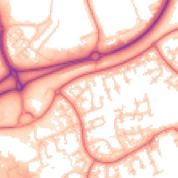
Daytime· 07:00 – 23:00
56.5dB

Night-time· 23:00 – 07:00
47.4dB