26 Pinders Farm Drive, Warrington, WA1 2GF
About 26 Pinders Farm Drive
26 Pinders Farm Drive is an end-of-terrace house in Warrington (WA1 2GF). It has a recorded floor area of 126 m² (around 1356 sq ft), construction records dating it to 2003-2006 and council tax band D. The latest certificate (December 2018) shows a C (score 79), near the top of the C band. The recommended improvements would push it to B (score 88).
It hasn't traded since July 2004, a hold of 22 years that's notably long for the area. At 126 m² the property is well over the postcode median (65 m² across 20 EPCs), placing it in the larger end of the local stock. Today's modelled estimate of £289,000 is 31.4% above the 2004 sale price.
Everything you need to know about 26 Pinders Farm Drive
The true value, the hidden risks and the full sale history, in one report.
30-day money-back guarantee

The data behind every report


Energy performance
EPC Rating
Planning history
26 Pinders Farm Drive has no planning applications on record.
Notable planning nearby
2applications of note in the surrounding area
We flagged 1 thing worth checking at 26 Pinders Farm Drive
Independent checks surfaced things a buyer would want to understand before offering. The report explains each one in full, with the underlying data and what to ask.
- Larger development activity nearby
30-day money-back guarantee
Sales history & valuation
26 Pinders Farm Drive valuation sits well clear of the typical sold price in this postcode.
£289,000
Modelled from EPC, postcode comparables.
£220,000
Recorded with HM Land Registry.
Sales timeline
29 July 2004Most recent
£220,000
Median price across the last 5 sales in WA1 2GF: £125,000 (2024–2023).
Nearby sales in WA1 2GF
19 Pinders Farm Drive, Warrington, WA1 2GF
Sold Oct 2024
£250,00010 Pinders Farm Drive, Warrington, WA1 2GF
Sold Jul 2024
£105,00020 Pinders Farm Drive, Warrington, WA1 2GF
Sold Dec 2023
£123,00014 Pinders Farm Drive, Warrington, WA1 2GF
Sold Jun 2023
£125,0001 Pinders Farm Drive, Warrington, WA1 2GF
Sold Jun 2023
£170,000
Versus other Pinders Farm Drive homes
On years held, 26 Pinders Farm Drive stands well clear of the street.
Price per m²
£1,746
Street avg £1,775
Floor Area
126 m²
Street avg 108 m²
Habitable Rooms
6 rooms
Street avg 5 rooms
CO₂ Emissions
2.7 t/year
Street avg 2.7 t/year
Everything you need to know about 26 Pinders Farm Drive
The true value, the hidden risks and the full sale history, in one report.
30-day money-back guarantee
The data behind every report
Similar properties nearby
The neighbourhood at a glance
Rail-style transport is unusually close for this postcode.
Crime
3/mo
Steady year-on-year across the wider district.
Nearest stop
0.1 km
Orchard Street — bus stop.
Closest school
0.6 km
Latchford St James CofE Primary School. 37 schools nearby.
Go deeper on the local area
The full report breaks down crime, transport links, schools and air quality in depth.
Road noise across the postcode
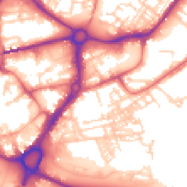
Daytime· 07:00 – 23:00
57.4dB

Night-time· 23:00 – 07:00
47.1dB