9 Holywell Drive, Warrington, WA1 2GE
About 9 Holywell Drive
9 Holywell Drive is a four-bedroom end-of-terrace house in Warrington (WA1 2GE). It has a recorded floor area of 118 m² (around 1270 sq ft), construction records dating it to 2003-2006 and council tax band D. The latest certificate (May 2018) shows a C (score 73). The recommended improvements would push it to B (score 86).
It hasn't traded since November 2005, a hold of 21 years that's notably long for the area. At 118 m² the property is well over the postcode median (75 m² across 59 EPCs), placing it in the larger end of the local stock. Today's modelled estimate of £293,000 is 31.4% above the 2005 sale price.
What this property has
Inside
- Bedrooms4
- Bathrooms2
- EnsuiteYes
Outside
- GarageYes
Everything you need to know about 9 Holywell Drive
The true value, the hidden risks and the full sale history, in one report.
30-day money-back guarantee

The data behind every report


Energy performance
EPC Rating
Planning history
9 Holywell Drive has no planning applications on record.
Notable planning nearby
2applications of note in the surrounding area
We flagged 1 thing worth checking at 9 Holywell Drive
Independent checks surfaced things a buyer would want to understand before offering. The report explains each one in full, with the underlying data and what to ask.
- Larger development activity nearby
30-day money-back guarantee
Sales history & valuation
9 Holywell Drive valuation sits well clear of the typical sold price in this postcode.
£293,000
Modelled from EPC, postcode comparables.
£222,950
Recorded with HM Land Registry.
Sales timeline
30 November 2005Most recent
£222,950
Median price across the last 5 sales in WA1 2GE: £140,000 (2025–2023).
Nearby sales in WA1 2GE
Versus other Holywell Drive homes
9 Holywell Drive is notably below the street on epc rating.
Price per m²
£1,889
Street avg £1,952
Floor Area
118 m²
Street avg 112 m²
Habitable Rooms
5 rooms
Street avg 5 rooms
CO₂ Emissions
3.3 t/year
Street avg 2.7 t/year
Everything you need to know about 9 Holywell Drive
The true value, the hidden risks and the full sale history, in one report.
30-day money-back guarantee
The data behind every report
Similar properties nearby
1 Holywell Drive
WA1 2GE
1 Abney Mews, Farrell Street
WA1 2GJ
1 Riverside Close
WA1 2JD
1 Edale Close
WA1 2GR
1 Percival Street
WA1 2JE
1 Glossop Close
WA1 2GS
1 Pinders Farm Drive
WA1 2GF
1 Mason Street
WA1 2JJ
The neighbourhood at a glance
Rail-style transport is unusually close for this postcode.
Crime
3/mo
Steady year-on-year across the wider district.
Nearest stop
0.1 km
Orchard Street — bus stop.
Closest school
0.6 km
Latchford St James CofE Primary School. 37 schools nearby.
Go deeper on the local area
The full report breaks down crime, transport links, schools and air quality in depth.
Road noise across the postcode
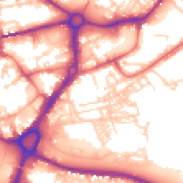
Daytime· 07:00 – 23:00
57.5dB

Night-time· 23:00 – 07:00
47.5dB