1 Percival Street, Warrington, WA1 2JE
About 1 Percival Street
1 Percival Street is a three-bedroom end-of-terrace house in Warrington (WA1 2JE). It has a recorded floor area of 86 m² (around 926 sq ft), construction records dating it to 1950-1966 and council tax band B. The latest certificate (July 2014) shows an E (score 43), well below the UK norm with real room to improve. The recommended improvements would lift it to C (score 75), a 2-band jump. The latest certificate is from July 2014, so improvements made since then won't be reflected. Records show the property has been extended at some point in its history.
Today's modelled estimate of £168,000 sits 175.4% above the 2015 sale of £61,000. On the market in September 2015 and unlisted since — roughly 11 years.
What this property has
Inside
- Bedrooms3
- Bathrooms1
- CloakroomYes
Outside
- Private gardenYes
Building
- Previously extendedYes
Everything you need to know about 1 Percival Street
The true value, the hidden risks and the full sale history, in one report.
30-day money-back guarantee

The data behind every report


Energy performance
Recommended upgrades on file would lift this property by multiple EPC bands.
EPC Expired
This certificate is over 10 years old and is no longer valid.Expired 08 Jul 2024
EPC Rating
Planning history
1 Percival Street has no planning applications on record.
Notable planning nearby
2applications of note in the surrounding area
We flagged 1 thing worth checking at 1 Percival Street
Independent checks surfaced things a buyer would want to understand before offering. The report explains each one in full, with the underlying data and what to ask.
- Larger development activity nearby
30-day money-back guarantee
Sales history & valuation
£168,000
Modelled from EPC, postcode comparables.
£61,000
Recorded with HM Land Registry.
Sales timeline
9 September 2015Most recent
£61,000
Median price across the last 2 sales in WA1 2JE: £101,500 (2014–2008).
Everything you need to know about 1 Percival Street
The true value, the hidden risks and the full sale history, in one report.
30-day money-back guarantee
The data behind every report
Similar properties nearby
1 Edale Close
WA1 2GR
1 Riverside Close
WA1 2JD
1 Abney Mews, Farrell Street
WA1 2GJ
1 Castleton Drive
WA1 2GQ
1 Mason Street
WA1 2JJ
1 Pinders Farm Drive
WA1 2GF
1 Fairclough Avenue
WA1 2JR
1 Glossop Close
WA1 2GS
The neighbourhood at a glance
Rail-style transport is unusually close for this postcode.
Crime
3/mo
Steady year-on-year across the wider district.
Nearest stop
0.3 km
Orchard Street — bus stop.
Closest school
0.5 km
Latchford St James CofE Primary School. 37 schools nearby.
Go deeper on the local area
The full report breaks down crime, transport links, schools and air quality in depth.
Road noise across the postcode
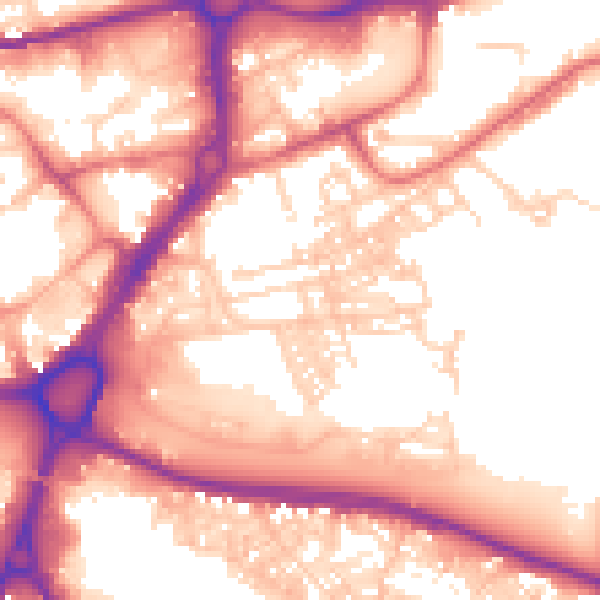
Daytime· 07:00 – 23:00
57.1dB

Night-time· 23:00 – 07:00
47.0dB