2 Crossmead Avenue, Greenford, UB6 9TY
About 2 Crossmead Avenue
2 Crossmead Avenue is a five-bedroom semi-detached house in Greenford (UB6 9TY). It has a recorded floor area of 162 m² (around 1744 sq ft), construction records dating it to 1930-1949 and council tax band E. The latest certificate (December 2019) shows a D (score 68), on the cusp of jumping into the C band. The recommended improvements would lift it to B (score 85), a 2-band jump.
At 162 m² the property is well over the postcode median (90 m² across 18 EPCs), placing it in the larger end of the local stock. 5 bedrooms is on the larger side for this postcode, where 3 is the typical count. 5 planning records sit against the property, 2 approved, 3 refused. Past consents include an extension and a loft conversion, meaningful when judging how the property has evolved. Across 2002–2020, sale prices on this property compounded at 5.4% per year. Today's modelled estimate of £707,000 is 11.7% above the 2020 sale price. On a £-per-square-foot basis, the last sale (£363/sq ft) was about 43.2% above the typical sold price in the postcode. Sold March 2020 for £633,000.
Know exactly what you're buying at 2 Crossmead Avenue
Before you offer, see what the listing won't tell you, the true value, the red flags and the full history.
Already flagged here
Valuation
against the asking price
Risks
planning & flood
Sold prices
similar homes nearby
Trends
the local market
What this property has
Inside
- Bedrooms5
- Bathrooms1
- Dining roomYes
- CloakroomYes
- EnsuiteYes
Outside
- Private gardenSouth-facing
- ParkingOff street
Energy performance
Recommended upgrades on file would lift this property by multiple EPC bands.
EPC Rating
Planning history
2 Crossmead Avenue has 2 separate extension applications on the council record.
- Sept 2012Loft ConversionOutlineIn report
Single storey rear extension (following demolition of existing rear extension); roof extension to rear and both side roof slopes (involving conversion of roof space to habitable use); and removal of two existing chimneystacks (Application for a Lawful Development Certificate for a Proposed Development)
- Agent
- Draw_It
Extension- Documents
- 10 docs on file
- Reference
- P/2012/2600
- Jun 2012Loft ConversionOutlineIn report
Extension: Rear of property
Alteration of roof from both hip to gable ends (involving conversion of roofspace into habitable use); single storey rear extension (following demolition of existing rear deck extension); installation of two windows to side roof elevation; installation of three rooflights to both front and rear roofslopes. (Application for a Certificate of Lawfulness for a Proposed Development).
- Agent
- Draw_It
Extension- Documents
- 10 docs on file
- Reference
- P/2012/1258
We flagged 1 thing worth checking at 2 Crossmead Avenue
Independent checks surfaced things a buyer would want to understand before offering. The report explains each one in full, with the underlying data and what to ask.
- Signs of HMO activity in the area
30-day money-back guarantee
Sales history & valuation
Latest sale on 2 Crossmead Avenue was the highest on Land Registry record across the postcode.
£707,000
Modelled from EPC, postcode comparables and a sale-price growth of 5.4% per year over 18 years.
£633,000
Growth on file: 5.4% per year over 18 years.
Sales timeline
11 March 2020Most recent
£633,000
+154.7%over 17 years30 June 2002
£248,500
Median price across the last 5 sales in UB6 9TY: £500,000 (2025–2018).
Nearby sales in UB6 9TY
Everything we know about 2 Crossmead Avenue, in one report
What it's really worth, what could be wrong, and the planning, sales and area data in full.
What we flagged
- Signs of HMO activity in the area

Versus other Crossmead Avenue homes
On habitable rooms, 2 Crossmead Avenue stands well clear of the street.
Price per m²
£3,907
Street avg £3,596
Floor Area
162 m²
Street avg 96 m²
Habitable Rooms
9 rooms
Street avg 5 rooms
CO₂ Emissions
5.2 t/year
Street avg 4.4 t/year
Similar properties nearby
The neighbourhood at a glance
Reported crime in the wider district is trending notably upward year-on-year.
Crime
7/mo
Rising year-on-year across the wider district.
Nearest stop
0.2 km
Ferrymead Drive — bus stop.
Closest school
0.0 km
Ravenor Primary School. 44 schools nearby.
Go deeper on the local area
The full report breaks down crime, transport links, schools and air quality in depth.
Road noise across the postcode
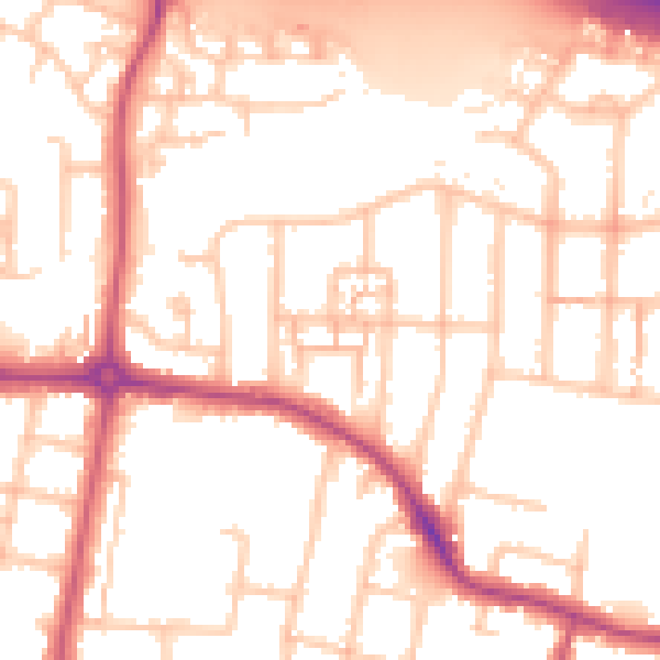
Daytime· 07:00 – 23:00
53.7dB

Night-time· 23:00 – 07:00
44.9dB