17 Barnham Road, Greenford, UB6 9LP
About 17 Barnham Road
17 Barnham Road is a property in Greenford (UB6 9LP). It has council tax band E.
Held since July 2006 — that's 20 years off the open market, well above the local norm. 2 planning records sit against the property, 2 approved, 0 refused. Past consents include an extension, meaningful when judging how the property has evolved.
Know exactly what you're buying at 17 Barnham Road
Before you offer, see what the listing won't tell you, the true value, the red flags and the full history.
Already flagged here
Valuation
against the asking price
Risks
planning & flood
Sold prices
similar homes nearby
Trends
the local market
Energy performance
No EPC on record
This property doesn't have an Energy Performance Certificate yet. An EPC is required to sell or let — and unlocks our automated valuation.
Planning history
17 Barnham Road has been extended on multiple sides of the property across separate planning applications.
- Jul 2014ExtensionFullIn report
Extension: Side and rear of property
Single storey side and rear extension and enlargement of existing side roof extension
- Agent
- Moct Studio
- Documents
- 12 docs on file
- Reference
- PP/2014/2514
- Jun 2014ExtensionOutlineIn report
Extension: Single storey · Rear of property
Single storey (max 6m deep and max 4.7m high) rear extension (42 day Prior Notification Process)
- Agent
- Moct Studio
- Reference
- PAN/2014/2642
We flagged 1 thing worth checking at 17 Barnham Road
Independent checks surfaced things a buyer would want to understand before offering. The report explains each one in full, with the underlying data and what to ask.
- Signs of HMO activity in the area
30-day money-back guarantee
Sales history & valuation
£270,000
Recorded with HM Land Registry.
Sales timeline
24 July 2006Most recent
£270,000
Median price across the last 5 sales in UB6 9LP: £670,000 (2025–2022).
Nearby sales in UB6 9LP
Everything we know about 17 Barnham Road, in one report
What it's really worth, what could be wrong, and the planning, sales and area data in full.
What we flagged
- Signs of HMO activity in the area

Similar properties nearby
The neighbourhood at a glance
Reported crime in the wider district is trending notably upward year-on-year.
Crime
7/mo
Rising year-on-year across the wider district.
Nearest stop
0.2 km
West Ridge Gardens — bus stop.
Closest school
0.3 km
Coston Primary School. 37 schools nearby.
Go deeper on the local area
The full report breaks down crime, transport links, schools and air quality in depth.
Road noise across the postcode
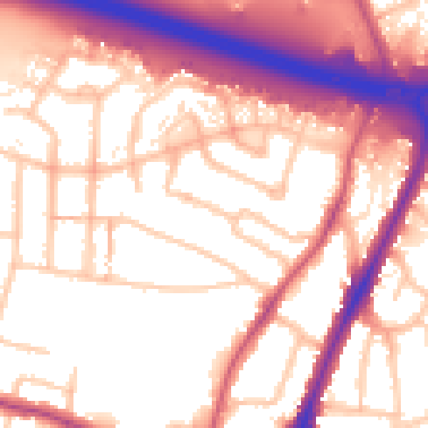
Daytime· 07:00 – 23:00
57.1dB

Night-time· 23:00 – 07:00
49.0dB