3 Barnham Road, Greenford, UB6 9LP
About 3 Barnham Road
3 Barnham Road is a semi-detached house in Greenford (UB6 9LP). It has a recorded floor area of 144 m² (around 1550 sq ft), construction records dating it to 1900-1929 and council tax band E. The latest certificate (June 2022) shows a C (score 75), near the top of the C band. When first surveyed in March 2015 the rating was E, the property has climbed 2 bands since. Between certificates, wall efficiency went from Very Poor to Good, hot-water efficiency went from Poor to Good and lighting went from Poor to Very Good; while roof efficiency dropped from Very Good to Good. The recommended improvements would push it to B (score 84).
At 144 m² the property is well over the postcode median (86 m² across 10 EPCs), placing it in the larger end of the local stock. On energy efficiency it sits in the top 10% of properties in this postcode. 6 planning records sit against the property, 1 approved, 5 refused. Past consents include an extension and partial demolition, meaningful when judging how the property has evolved. Across 1999–2024, sale prices on this property compounded at 6.3% per year. On a £-per-square-foot basis, the last sale (£432/sq ft) was about 17.9% above the typical sold price in the postcode. Sold March 2024 for £670,000.
Know exactly what you're buying at 3 Barnham Road
Before you offer, see what the listing won't tell you, the true value, the red flags and the full history.
Already flagged here
Valuation
against the asking price
Risks
planning & flood
Sold prices
similar homes nearby
Trends
the local market
Energy performance
3 Barnham Road ranks among the most efficient homes in the postcode for energy use.
EPC Rating
Property Improvements
Changes detected from historical EPC data
Heating controls upgraded for better temperature management
Hot water system upgraded
Wall insulation improved
More low energy lighting installed
Planning history
Planning history includes recorded demolition works, indicating a major rebuild phase at this address.
- Dec 2018DemolitionFullIn report
Extension: Single storey · Side of property
Rear roof extensions; installation of five roof lights to front roof slope; single storey side extension; and external alterations to the ground floor rear elevation (following demolition of existing rear addition and detached garage)
- Agent
- Abaad
Extension- Documents
- 12 docs on file
- Reference
- 184654HH
- Aug 2018ExtensionFullIn report
Extension: Single storey · Side of property
Single storey side extension with dormer on rear roof slope; rear roof extension, and installation of one roof light to front roof slope and two roof lights to rear roof slope
- Agent
- Abaad
- Documents
- 17 docs on file
- Reference
- 183207HH
We flagged 1 thing worth checking at 3 Barnham Road
Independent checks surfaced things a buyer would want to understand before offering. The report explains each one in full, with the underlying data and what to ask.
- Signs of HMO activity in the area
30-day money-back guarantee
Sales history & valuation
Price for 3 Barnham Road has grown more than fourfold since the 1999 starting point.
£702,000
Modelled from EPC, postcode comparables and a sale-price growth of 6.3% per year over 25 years.
£670,000
Growth on file: 6.3% per year over 25 years.
Sales timeline
28 March 2024Most recent
£670,000
+63.4%over 8 years7 June 2015
£410,000
+178.0%over 15 years1 July 1999
£147,500
Median price across the last 5 sales in UB6 9LP: £650,000 (2025–2021).
Nearby sales in UB6 9LP
Everything we know about 3 Barnham Road, in one report
What it's really worth, what could be wrong, and the planning, sales and area data in full.
What we flagged
- Signs of HMO activity in the area

Versus other Barnham Road homes
Floor Area for 3 Barnham Road runs comfortably ahead of the street norm.
Price per m²
£4,653
Street avg £5,996
Floor Area
144 m²
Street avg 93 m²
Habitable Rooms
5 rooms
Street avg 5 rooms
CO₂ Emissions
3.5 t/year
Street avg 4.7 t/year
Similar properties nearby
The neighbourhood at a glance
Reported crime in the wider district is trending notably upward year-on-year.
Crime
7/mo
Rising year-on-year across the wider district.
Nearest stop
0.2 km
West Ridge Gardens — bus stop.
Closest school
0.3 km
Coston Primary School. 37 schools nearby.
Go deeper on the local area
The full report breaks down crime, transport links, schools and air quality in depth.
Road noise across the postcode
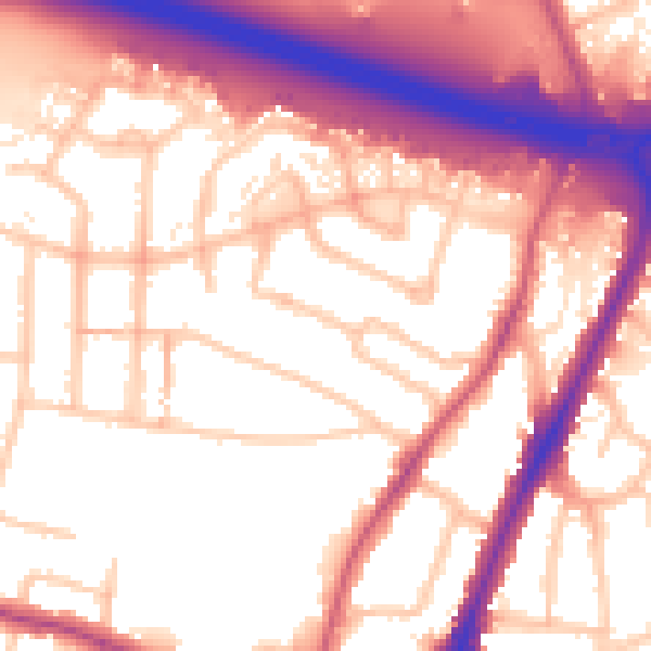
Daytime· 07:00 – 23:00
57.1dB

Night-time· 23:00 – 07:00
49.0dB