1236 Greenford Road, Greenford, UB6 0HH
About 1236 Greenford Road
1236 Greenford Road is a detached house in Greenford (UB6 0HH). It has a recorded floor area of 66 m² (around 710 sq ft), construction records dating it to 1930-1949 and council tax band C. The latest certificate (June 2017) shows an E (score 51), well below the UK norm with real room to improve. The recommended improvements would push it to D (score 67). At 66 m² this is the 21st smallest of 37 units on EPC record in the building, where floor areas span 17–153 m². The building's EPC ratings span G to C across 37 units on file.
11 planning records sit against the property, 8 approved, 3 refused. Past consents include an extension, partial demolition, change of use to residential and subdivision, meaningful when judging how the property has evolved. At 66 m² it's 15.8% larger than the typical home in the postcode (57 m² median across 36 EPCs). It lags the bulk of the postcode on energy efficiency (less efficient than 81% of similar EPCs).
Know exactly what you're buying at 1236 Greenford Road
Before you offer, see what the listing won't tell you, the true value, the red flags and the full history.
Already flagged here
Valuation
against the asking price
Risks
planning & flood
Sold prices
similar homes nearby
Trends
the local market
Energy performance
EPC Rating
Planning history
A recent planning application at 1236 Greenford Road was refused — worth checking the council file.
- Mar 2026ConditionsIn report
Details of internal and external noise levels from transport and industrial/ commercial/ cultural sources pursuant to condition 12 of planning permission ref: 241376FUL dated 11/07/2024 for: Construction of a single storey single family dwelling house with a dual pitched green roof; associated amenity space, refuse and cycle storage in rear gardens of existing flats. (Joint Application)
- Agent
- Satish Jassal Architects
- Documents
- 8 docs on file
- Reference
- 253763CND
- Jul 2025ConditionsIn report
Details of internal and external noise levels from transport and industrial/ commercial/ cultural sources pursuant to condition 12 of planning permission ref: 241376FUL dated 11.07.2024 for: Construction of a single storey single family dwelling house with a dual pitched green roof; associated amenity space, refuse and cycle storage in rear gardens of existing flats. (Joint Application)
- Agent
- Satish Jassal Architects
- Documents
- 4 docs on file
- Reference
- 251857CND
We flagged 1 thing worth checking at 1236 Greenford Road
Independent checks surfaced things a buyer would want to understand before offering. The report explains each one in full, with the underlying data and what to ask.
- Signs of HMO activity in the area
30-day money-back guarantee
Sales history & valuation
1236 Greenford Road has no Land Registry sales on file, suggesting it has stayed in the same hands since registration began.
£345,000
Modelled from EPC, postcode comparables.
No sales recorded with HM Land Registry
That can mean the property has never traded since the registry began publishing in 1995, was a new build that hasn't been registered yet, or is held in the same hands long-term.
Median price across the last 5 sales in UB6 0HH: £526,000 (2021–2016).
Nearby sales in UB6 0HH
1270 Greenford Road, Greenford, UB6 0HH
Sold Apr 2021
£526,0001268 Greenford Road, Greenford, UB6 0HH
Sold Jul 2020
£587,5001240 Greenford Road, Greenford, UB6 0HH
Sold Mar 2018
£442,0001272 Greenford Road, Greenford, UB6 0HH
Sold Mar 2017
£555,0001242 Greenford Road, Greenford, UB6 0HH
Sold Feb 2016
£435,000
Everything we know about 1236 Greenford Road, in one report
What it's really worth, what could be wrong, and the planning, sales and area data in full.
What we flagged
- Signs of HMO activity in the area

Versus other Greenford Road homes
1236 Greenford Road is notably below the street on co₂ emissions.
EPC Rating
51 (E)
Street avg 61 (D)
Floor Area
66 m²
Street avg 52 m²
CO₂ Emissions
4.3 t/year
Street avg 2.5 t/year
Habitable Rooms
4 rooms
Street avg 3 rooms
Similar properties nearby
The neighbourhood at a glance
Rail-style transport is unusually close for this postcode.
Crime
7/mo
Rising year-on-year across the wider district.
Nearest stop
0.2 km
Berkeley Avenue / Greenford Quay — bus stop.
Closest school
0.2 km
Horsenden Primary School. 38 schools nearby.
Go deeper on the local area
The full report breaks down crime, transport links, schools and air quality in depth.
Road noise across the postcode
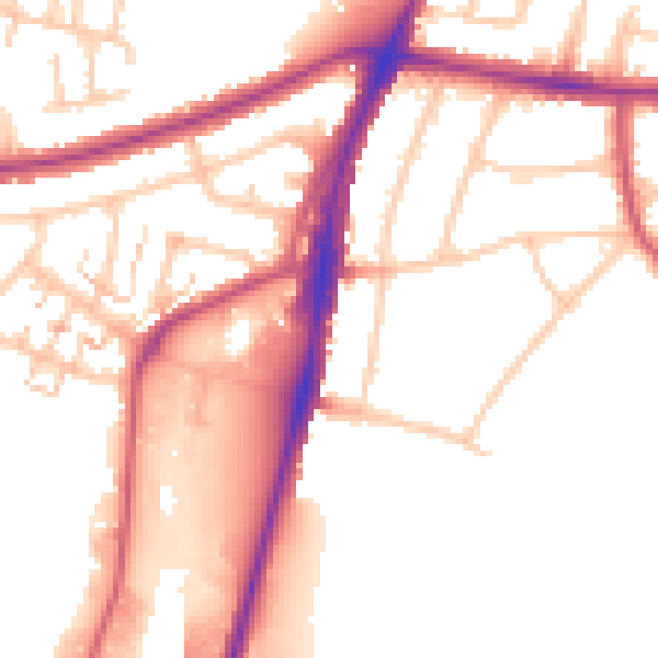
Daytime· 07:00 – 23:00
53.4dB

Night-time· 23:00 – 07:00
44.3dB