112 Wadham Gardens, Greenford, UB6 0BS
About 112 Wadham Gardens
112 Wadham Gardens is a three-bedroom property in Greenford (UB6 0BS). It has council tax band D. Other recorded features include a conservatory. Records show the property has been extended at some point in its history.
Untraded for 15 years, with the last transfer in April 2011. Across the public record there are 4 sales, relatively high churn for a single property. Across 1998–2011, sale prices on this property compounded at 9.3% per year.
Know exactly what you're buying at 112 Wadham Gardens
Before you offer, see what the listing won't tell you, the true value, the red flags and the full history.
Already flagged here
Valuation
against the asking price
Risks
planning & flood
Sold prices
similar homes nearby
Trends
the local market
What this property has
Inside
- Bedrooms3
- CloakroomYes
- ConservatoryYes
Outside
- ParkingOff street
Building
- Heating systemGas
- Previously extendedYes
Energy performance
No EPC on record
This property doesn't have an Energy Performance Certificate yet. An EPC is required to sell or let — and unlocks our automated valuation.
Planning history
112 Wadham Gardens has no planning applications on record.
Notable planning nearby
33applications of note in the surrounding area
We flagged 1 thing worth checking at 112 Wadham Gardens
Independent checks surfaced things a buyer would want to understand before offering. The report explains each one in full, with the underlying data and what to ask.
- Signs of HMO activity in the area
30-day money-back guarantee
Sales history & valuation
Sale price has grown by over 3x since 1998.
£187,500
Growth on file: 9.3% per year over 12 years.
Sales timeline
3 April 2011Most recent
£187,500
-25.0%over 4 years17 November 2006
£250,000
+28.2%over 2 years17 February 2004
£194,950
+217.3%over 5 years4 October 1998
£61,440
Median price across the last 5 sales in UB6 0BS: £485,000 (2024–2013).
Nearby sales in UB6 0BS
Everything we know about 112 Wadham Gardens, in one report
What it's really worth, what could be wrong, and the planning, sales and area data in full.
What we flagged
- Signs of HMO activity in the area

Similar properties nearby
The neighbourhood at a glance
Rail-style transport is unusually close for this postcode.
Crime
7/mo
Rising year-on-year across the wider district.
Nearest stop
0.2 km
Malden Avenue — bus stop.
Closest school
0.3 km
Wood End Primary School. 37 schools nearby.
Go deeper on the local area
The full report breaks down crime, transport links, schools and air quality in depth.
Road noise across the postcode
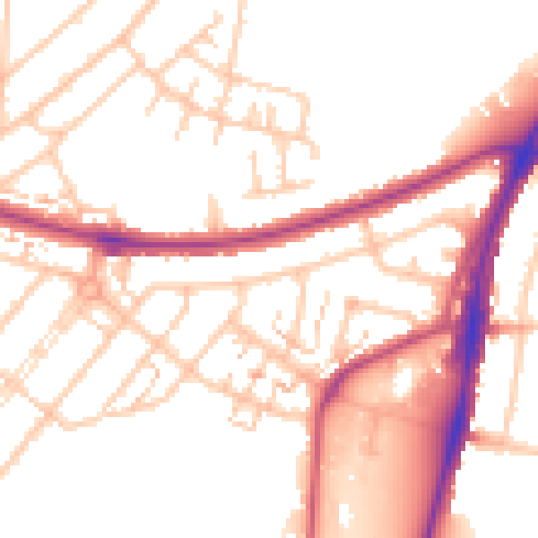
Daytime· 07:00 – 23:00
52.4dB

Night-time· 23:00 – 07:00
43.0dB