2 Ampleforth Drive, Stafford, ST17 4TE
About 2 Ampleforth Drive
2 Ampleforth Drive is a four-bedroom detached house in Stafford (ST17 4TE). It has a recorded floor area of 127 m² (around 1366 sq ft), construction records dating it to 1983-1990 and council tax band E. The latest certificate (June 2011) shows a C (score 69), just inside the C band. The latest certificate is from June 2011, so improvements made since then won't be reflected.
Across 2012–2018, sale prices on this property compounded at 3.1% per year. Today's modelled estimate of £351,000 is 24.2% above the 2018 sale price. On a £-per-square-foot basis, the last sale (£207/sq ft) was about 32.7% above the typical sold price in the postcode. Sold October 2018 for £282,500.
What this property has
Inside
- Bedrooms4
- Dining roomYes
- Utility roomYes
- CloakroomYes
- EnsuiteYes
Outside
- GarageDouble
Everything you need to know about 2 Ampleforth Drive
The true value, the hidden risks and the full sale history, in one report.
Pick your report · every report is £14.99
One time fee only - money back guarantee

The data behind every report


Energy performance
2 Ampleforth Drive's EPC is over a decade old — improvements since won't be reflected.
EPC Expired
This certificate is over 10 years old and is no longer valid.Expired 21 Jun 2021
EPC Rating
Get a survey for this property
Level 2 HomeBuyer Report
We've checked 10 risk factors against the available data for this property and believe a Level 2 HomeBuyer Report could be a suitable option for you.
From £595 · Includes VAT
Planning history
2 Ampleforth Drive has no planning applications on record.
But the area is active
2 notable applications nearby — larger schemes and conversions that could reshape the street. The report maps them all.
Sales history & valuation
2 Ampleforth Drive valuation sits well clear of the typical sold price in this postcode.
£351,000
Modelled from EPC, postcode comparables and a sale-price growth of 3.1% per year over 6 years.
£282,500
Growth on file: 3.1% per year over 6 years.
Sales timeline
16 October 2018Most recent
£282,500
+20.2%over 5 years24 October 2012
£234,950
Median price across the last 5 sales in ST17 4TE: £325,000 (2025–2022).
Nearby sales in ST17 4TE
20 Ampleforth Drive, Stafford, ST17 4TE
Sold Mar 2025
£415,00065 Ampleforth Drive, Stafford, ST17 4TE
Sold Dec 2024
£390,00023 Ampleforth Drive, Stafford, ST17 4TE
Sold Jul 2024
£325,00015 Ampleforth Drive, Stafford, ST17 4TE
Sold Sept 2023
£303,00044 Ampleforth Drive, Stafford, ST17 4TE
Sold Sept 2022
£305,000
Versus other Ampleforth Drive homes
Habitable Rooms for 2 Ampleforth Drive runs comfortably ahead of the street norm.
Price per m²
£2,226
Street avg £2,216
Floor Area
127 m²
Street avg 116 m²
Habitable Rooms
7 rooms
Street avg 6 rooms
CO₂ Emissions
4.3 t/year
Street avg 4.8 t/year
Everything you need to know about 2 Ampleforth Drive
The true value, the hidden risks and the full sale history, in one report.
Pick your report · every report is £14.99
One time fee only - money back guarantee
The data behind every report
Similar properties nearby
1 Ampleforth Drive
ST17 4TE
1 Batholdi Way
ST17 4XP
1 Charterhouse Avenue
ST17 4TJ
1 Catalan Close
ST17 4XS
1 Abberley Grove
ST17 4FE
1 Campanula Close
ST17 4FY
1 Basil Close
ST17 4UW
1 Brambleside
ST17 4QW
The neighbourhood at a glance
Daytime road noise here sits well below conversation level — a quiet pocket of the postcode.
Crime
3/mo
Steady year-on-year across the wider district.
Nearest stop
0.3 km
Queens Shopping Park — bus stop.
Closest school
0.6 km
St Leonard's Primary School. 23 schools nearby.
Go deeper on the local area
A Local Area report breaks down crime, transport links, schools and air quality in depth.
Road noise across the postcode
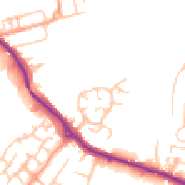
Daytime· 07:00 – 23:00
49.5dB

Night-time· 23:00 – 07:00
41.3dB