20 Ampleforth Drive, Stafford, ST17 4TE
About 20 Ampleforth Drive
20 Ampleforth Drive is a four-bedroom detached house in Stafford (ST17 4TE). It has a recorded floor area of 158 m² (around 1701 sq ft), construction records dating it to 1991-1995 and council tax band E. Tenure is freehold. The latest certificate (October 2024) shows a C (score 75), near the top of the C band. When first surveyed in May 2010 the rating was D, the property has climbed 1 band since. Between certificates, window efficiency went from Average to Good, hot-water efficiency went from Average to Good and lighting went from Very Poor to Very Good. The recommended improvements would push it to B (score 85). Records show the property has been extended at some point in its history.
At 158 m² the property is well over the postcode median (113 m² across 26 EPCs), placing it in the larger end of the local stock. A recent sale: £415,000 in March 2025. Across 1996–2025, sale prices on this property compounded at 6.1% per year. On a £-per-square-foot basis, the last sale (£244/sq ft) was about 51.3% above the typical sold price in the postcode.
What this property has
Inside
- Bedrooms4
- Bathrooms2
- Open-plan layoutYes
- Dining roomYes
- Utility roomYes
- EnsuiteYes
Outside
- Private gardenYes
- GarageYes
Building
- TenureFreehold
- Previously extendedYes
Everything you need to know about 20 Ampleforth Drive
The true value, the hidden risks and the full sale history, in one report.
Pick your report · every report is £14.99
One time fee only - money back guarantee

The data behind every report


Energy performance
EPC Rating
Property Improvements
Changes detected from historical EPC data
Heating controls upgraded for better temperature management
Hot water efficiency improved
Window efficiency improved
More low energy lighting installed
Get a survey for this property
Level 3 Building Survey
Because the property has been extended more than once, we believe a Level 3 building survey should be considered.
From £1,020 · Includes VAT
Planning history
20 Ampleforth Drive has no planning applications on record.
But the area is active
2 notable applications nearby — larger schemes and conversions that could reshape the street. The report maps them all.
Sales history & valuation
Latest sale on 20 Ampleforth Drive was the highest on Land Registry record across the postcode.
£409,000
Modelled from EPC, postcode comparables and a sale-price growth of 6.1% per year over 29 years.
£415,000
Growth on file: 6.1% per year over 29 years.
Sales timeline
10 March 2025Most recent
£415,000
+79.7%over 11 years31 January 2014
£231,000
+2.7%over 6 years15 May 2007
£225,000
2 February 2007
£225,000
+82.9%over 5 years14 December 2001
£123,000
+59.8%over 5 years30 July 1996
£76,950
Median price across the last 5 sales in ST17 4TE: £305,000 (2024–2022).
Nearby sales in ST17 4TE
65 Ampleforth Drive, Stafford, ST17 4TE
Sold Dec 2024
£390,00023 Ampleforth Drive, Stafford, ST17 4TE
Sold Jul 2024
£325,00015 Ampleforth Drive, Stafford, ST17 4TE
Sold Sept 2023
£303,00044 Ampleforth Drive, Stafford, ST17 4TE
Sold Sept 2022
£305,00034 Ampleforth Drive, Stafford, ST17 4TE
Sold Mar 2022
£270,000
Versus other Ampleforth Drive homes
20 Ampleforth Drive is notably below the street on years held.
Price per m²
£2,627
Street avg £2,198
Floor Area
158 m²
Street avg 115 m²
Habitable Rooms
6 rooms
Street avg 6 rooms
CO₂ Emissions
4.2 t/year
Street avg 4.8 t/year
Everything you need to know about 20 Ampleforth Drive
The true value, the hidden risks and the full sale history, in one report.
Pick your report · every report is £14.99
One time fee only - money back guarantee
The data behind every report
Similar properties nearby
1 Catalan Close
ST17 4XS
1 Charterhouse Avenue
ST17 4TJ
1 Ampleforth Drive
ST17 4TE
1 Batholdi Way
ST17 4XP
1 Abberley Grove
ST17 4FE
1 Campanula Close
ST17 4FY
1 Basil Close
ST17 4UW
1 Brambleside
ST17 4QW
The neighbourhood at a glance
Daytime road noise here sits well below conversation level — a quiet pocket of the postcode.
Crime
3/mo
Steady year-on-year across the wider district.
Nearest stop
0.3 km
Queens Shopping Park — bus stop.
Closest school
0.6 km
St Leonard's Primary School. 23 schools nearby.
Go deeper on the local area
A Local Area report breaks down crime, transport links, schools and air quality in depth.
Road noise across the postcode
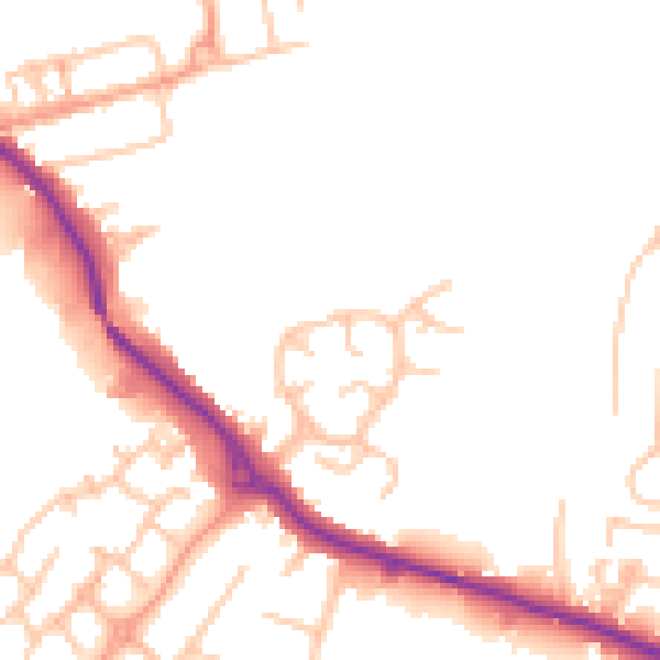
Daytime· 07:00 – 23:00
49.5dB

Night-time· 23:00 – 07:00
41.3dB