16 Ampleforth Drive, Stafford, ST17 4TE
About 16 Ampleforth Drive
16 Ampleforth Drive is a property in Stafford (ST17 4TE). It has council tax band D.
Untraded for 23 years, with the last transfer in August 2003. One historical planning record sits against the property in 2013.
Everything you need to know about 16 Ampleforth Drive
The true value, the hidden risks and the full sale history, in one report.
Pick your report · every report is £14.99
One time fee only - money back guarantee

The data behind every report


Energy performance
No EPC on record
This property doesn't have an Energy Performance Certificate yet. An EPC is required to sell or let — and unlocks our automated valuation.
Get a survey for this property
Level 2 HomeBuyer Report
We've checked 10 risk factors against the available data for this property and believe a Level 2 HomeBuyer Report could be a suitable option for you.
Planning history
1 application on record at 16 Ampleforth Drive, Stafford, ST17 4TE
- Jan 2013ExtensionFullOutcome in report
Extension: Side of property
Side extension over existing garage
- Documents
- 12 docs on file
- Reference
- 12/17749/HOU
Unlock 16 Ampleforth Drive, Stafford, ST17 4TE's full planning history
You're seeing the shape of it. The report has the substance.
- Every decision — granted, refused or withdrawn (1 on record)
- All 1 application on this property in full, plus 2 notable nearby
- The 12 documents, officer reports & conditions
- What the pattern means for extending or converting here
One time fee only - money back guarantee
Sales history & valuation
£144,950
Recorded with HM Land Registry.
Sales timeline
21 August 2003Most recent
£144,950
Median price across the last 5 sales in ST17 4TE: £325,000 (2025–2022).
Nearby sales in ST17 4TE
20 Ampleforth Drive, Stafford, ST17 4TE
Sold Mar 2025
£415,00065 Ampleforth Drive, Stafford, ST17 4TE
Sold Dec 2024
£390,00023 Ampleforth Drive, Stafford, ST17 4TE
Sold Jul 2024
£325,00015 Ampleforth Drive, Stafford, ST17 4TE
Sold Sept 2023
£303,00044 Ampleforth Drive, Stafford, ST17 4TE
Sold Sept 2022
£305,000
Everything you need to know about 16 Ampleforth Drive
The true value, the hidden risks and the full sale history, in one report.
Pick your report · every report is £14.99
One time fee only - money back guarantee
The data behind every report
Similar properties nearby
The neighbourhood at a glance
Daytime road noise here sits well below conversation level — a quiet pocket of the postcode.
Crime
3/mo
Steady year-on-year across the wider district.
Nearest stop
0.3 km
Queens Shopping Park — bus stop.
Closest school
0.6 km
St Leonard's Primary School. 23 schools nearby.
Go deeper on the local area
A Local Area report breaks down crime, transport links, schools and air quality in depth.
Road noise across the postcode
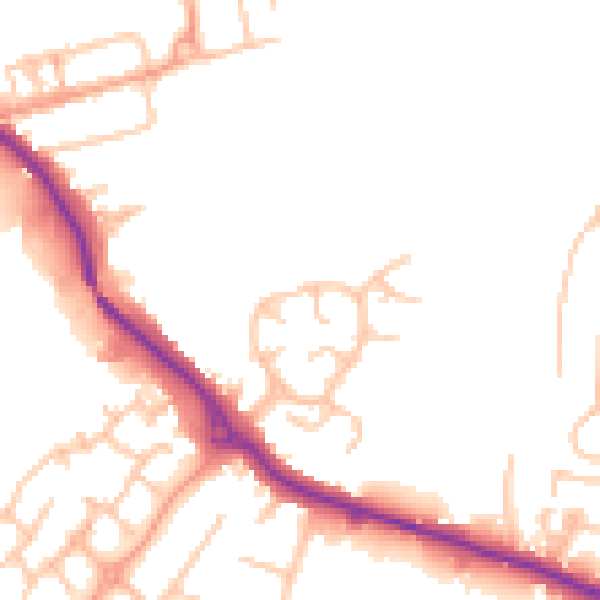
Daytime· 07:00 – 23:00
49.5dB

Night-time· 23:00 – 07:00
41.3dB