18 Stoddart Avenue, Southampton, SO19 4ED
About 18 Stoddart Avenue
18 Stoddart Avenue is a detached house in Southampton (SO19 4ED). It has a recorded floor area of 148 m² (around 1593 sq ft), construction records dating it to 1900-1929 and council tax band D. The latest certificate (April 2014) shows an E (score 40), well below the UK norm with real room to improve. The rating has held steady at E across 2 certificates since March 2010. Between certificates, hot-water efficiency went from Average to Good and lighting went from Very Poor to Poor; while roof efficiency dropped from Good to Very Poor. The recommended improvements would lift it to C (score 69), a 2-band jump. The latest certificate is from April 2014, so improvements made since then won't be reflected.
Held since September 2010 — that's 16 years off the open market, well above the local norm. At 148 m² the property is well over the postcode median (98 m² across 19 EPCs), placing it in the larger end of the local stock. It lags the bulk of the postcode on energy efficiency (less efficient than 79% of similar EPCs). 2 planning records sit against the property, 2 approved, 0 refused. Past consents include an extension and a conservatory, meaningful when judging how the property has evolved. Today's modelled estimate of £428,000 is 35.9% above the 2010 sale price.
Everything you need to know about 18 Stoddart Avenue
The true value, the hidden risks and the full sale history, in one report.
Pick your report · every report is £14.99
One time fee only - money back guarantee

The data behind every report


Energy performance
18 Stoddart Avenue's carbon output runs well above what efficient homes in the postcode produce.
EPC Expired
This certificate is over 10 years old and is no longer valid.Expired 08 Apr 2024
EPC Rating
Property Improvements
Changes detected from historical EPC data
Heating controls changed
Hot water system upgraded
Get a survey for this property
Level 3 Building Survey
Because the property was built before 1919, we believe a Level 3 building survey should be considered.
From £1,020 · Includes VAT
Planning history
2 applications on record at 18 Stoddart Avenue, Southampton, SO19 4ED
- May 2005ConservatoryFullOutcome in report
Extension: Two storey · Side of property
Erection of two storey side extension and conservatory to rear elevation and the formation of a room in the roof
Extension- Documents
- 7 docs on file
- Reference
- 05/00445/FUL
- More recent applications — locked
- ConservatoryJun 2010Decision
Unlock 18 Stoddart Avenue, Southampton, SO19 4ED's full planning history
You're seeing the shape of it. The report has the substance.
- Every decision — granted, refused or withdrawn (2 on record)
- All 2 applications on this property in full, plus 1 notable nearby
- The 12 documents, officer reports & conditions
- What the pattern means for extending or converting here
One time fee only - money back guarantee
Sales history & valuation
18 Stoddart Avenue valuation sits well clear of the typical sold price in this postcode.
£428,000
Modelled from EPC, postcode comparables.
£315,000
Recorded with HM Land Registry.
Sales timeline
16 September 2010Most recent
£315,000
Median price across the last 5 sales in SO19 4ED: £367,500 (2025–2021).
Nearby sales in SO19 4ED
1 Stoddart Avenue, Southampton, SO19 4ED
Sold Oct 2025
£367,5005 Stoddart Avenue, Southampton, SO19 4ED
Sold Jan 2025
£375,0007 Stoddart Avenue, Southampton, SO19 4ED
Sold Jan 2024
£325,00022 Stoddart Avenue, Southampton, SO19 4ED
Sold Aug 2022
£325,00014 Stoddart Avenue, Southampton, SO19 4ED
Sold Feb 2021
£525,000
Versus other Stoddart Avenue homes
EPC Rating for 18 Stoddart Avenue lags the street by a wide margin.
Price per m²
£2,128
Street avg £2,645
Floor Area
148 m²
Street avg 116 m²
Habitable Rooms
6 rooms
Street avg 6 rooms
CO₂ Emissions
9.6 t/year
Street avg 5.7 t/year
Everything you need to know about 18 Stoddart Avenue
The true value, the hidden risks and the full sale history, in one report.
Pick your report · every report is £14.99
One time fee only - money back guarantee
The data behind every report
Similar properties nearby
The neighbourhood at a glance
Crime
12/mo
Steady year-on-year across the wider district.
Nearest stop
0.1 km
Freemantle Common — bus stop.
Closest school
0.4 km
Bitterne Church of England Primary School. 35 schools nearby.
Go deeper on the local area
A Local Area report breaks down crime, transport links, schools and air quality in depth.
Road noise across the postcode
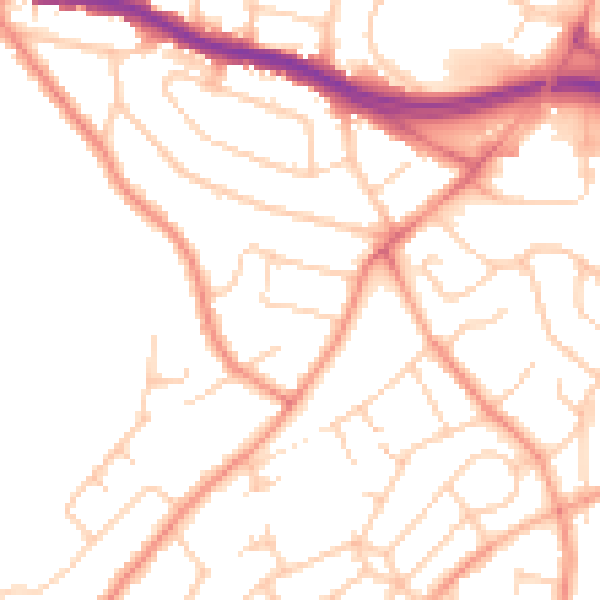
Daytime· 07:00 – 23:00
50.9dB

Night-time· 23:00 – 07:00
40.5dB