21 Arbroath Road, Greenwich, London, SE9 6RR
About 21 Arbroath Road
21 Arbroath Road is a three-bedroom semi-detached house in Greenwich, London, London (SE9 6RR). It has a recorded floor area of 110 m² (around 1184 sq ft), construction records dating it to 1900-1929 and council tax band D. The latest certificate (November 2019) shows a D (score 64), on the cusp of jumping into the C band. The rating has held steady at D across 2 certificates since November 2013. Between certificates, lighting went from Average to Very Good. The recommended improvements would push it to C (score 76). Other recorded features include a self-contained annexe.
At 110 m² it's 21.6% larger than the typical home in the postcode (90 m² median across 14 EPCs). Across 2004–2021, sale prices on this property compounded at 5.3% per year. Today's modelled estimate of £563,000 is 22.4% above the 2021 sale price. On a £-per-square-foot basis, the last sale (£389/sq ft) was about 25.1% above the typical sold price in the postcode. 2 planning records sit against the property, 1 approved, 1 refused. Most recent transfer: April 2021 at £460,000. That sale was during the post-pandemic price surge, when transactions cleared materially above pre-2020 trend.
What this property has
Inside
- Bedrooms3
- Bathrooms1
Outside
- Private gardenYes
Everything you need to know about 21 Arbroath Road
The true value, the hidden risks and the full sale history, in one report.
Pick your report · from £14.99
One time fee only - money back guarantee

The data behind every report


Energy performance
EPC Rating
Certificate validity
Valid until 28 November 2029
Property Improvements
Changes detected from historical EPC data
More low energy lighting installed

Get a survey for this property
Level 3 Building Survey
Because the property was built before 1919, we believe a Level 3 building survey should be considered.
From £1,085 · Includes VAT
Planning history
2 applications on record at 21 Arbroath Road, Greenwich, London, SE9 6RR
- May 2018OutlineOutcome in report
Certificate of lawfulness (Existing) is sought for the conversion of a side extension into a separate unit of residential accommodation established for more than 4 years.
Retrospective- Documents
- 7 docs on file
- Reference
- 18/0557/CE
- More recent applications — locked
- FullMar 2025Decision
Unlock 21 Arbroath Road, Greenwich, London, SE9 6RR's full planning history
You're seeing the shape of it. The report has the substance.
- Every decision — granted, refused or withdrawn (2 on record)
- All 2 applications on this property in full, plus 22 notable nearby
- The 16 documents, officer reports & conditions
- What the pattern means for extending or converting here
One time fee only - money back guarantee
Sales history & valuation
Sale price has at least doubled since 2004.
£563,000
Modelled from EPC, postcode comparables and a sale-price growth of 5.3% per year over 16 years.
£460,000
Growth on file: 5.3% per year over 16 years.
Sales timeline
15 April 2021Most recent
£460,000
+132.9%over 16 years17 December 2004
£197,500
Median price across the last 5 sales in SE9 6RR: £486,850 (2025–2019).
Nearby sales in SE9 6RR
3 Arbroath Road, Greenwich, London, SE9 6RR
Sold Dec 2025
£510,00047 Arbroath Road, Greenwich, London, SE9 6RR
Sold Apr 2025
£406,0001 Arbroath Road, Greenwich, London, SE9 6RR
Sold Feb 2025
£560,00011 Arbroath Road, Greenwich, London, SE9 6RR
Sold Aug 2024
£486,85013 Arbroath Road, Greenwich, London, SE9 6RR
Sold Aug 2019
£425,000
Versus other Arbroath Road homes
Floor Area for 21 Arbroath Road runs comfortably ahead of the street norm.
Price per m²
£4,182
Street avg £6,419
Floor Area
110 m²
Street avg 98 m²
Habitable Rooms
5 rooms
Street avg 5 rooms
CO₂ Emissions
4.4 t/year
Street avg 4.4 t/year
Everything you need to know about 21 Arbroath Road
The true value, the hidden risks and the full sale history, in one report.
Pick your report · from £14.99
One time fee only - money back guarantee
The data behind every report
Similar properties nearby
1 Arbroath Road, Greenwich
SE9 6RR
1 Allenswood Road, Greenwich
SE9 6RW
1 Brenley Gardens, Greenwich
SE9 6LE
1 Bayfield Road, Greenwich
SE9 6BN
1 Dickson Road, Greenwich
SE9 6RA
1 Horsfeld Gardens, Greenwich
SE9 6DT
1 Bland Street, Greenwich
SE9 6JA
1 Farnaby Road, Greenwich
SE9 6BG
The neighbourhood at a glance
Rail-style transport is unusually close for this postcode.
Crime
428/mo
Steady year-on-year across the wider district.
Nearest stop
0.2 km
Arbroath Road — bus stop.
Closest school
0.4 km
St Thomas More Catholic Primary School. 45 schools nearby.
Go deeper on the local area
A Local Area report breaks down crime, transport links, schools and air quality in depth.
Road noise across the postcode
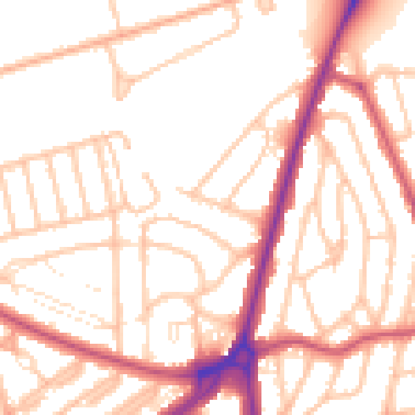
Daytime· 07:00 – 23:00
53.1dB
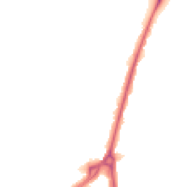
Night-time· 23:00 – 07:00
43.8dB