1 Arbroath Road, Greenwich, London, SE9 6RR
About 1 Arbroath Road
1 Arbroath Road is a three-bedroom semi-detached house in Greenwich, London, London (SE9 6RR). It has a recorded floor area of 119 m² (around 1281 sq ft), construction records dating it to 1930-1949 and council tax band D. The latest certificate (July 2024) shows an E (score 53), well below the UK norm with real room to improve. The rating has held steady at E across 3 certificates since November 2013. Between certificates, wall efficiency went from Very Poor to Poor, window efficiency went from Average to Good and hot-water efficiency went from Poor to Good; while roof efficiency dropped from Very Good to Average. The recommended improvements would lift it to C (score 72), a 2-band jump. Other recorded features include a self-contained annexe. Records show the property has been extended at some point in its history.
At 119 m² the property is well over the postcode median (88 m² across 14 EPCs), placing it in the larger end of the local stock. It lags the bulk of the postcode on energy efficiency (less efficient than 79% of similar EPCs). Most recent transfer was February 2025 at £560,000 — fresh data. 3 planning records sit against the property, 3 approved, 0 refused. Past consents include an extension, a porch, a loft conversion and a garage conversion, meaningful when judging how the property has evolved. Across 1996–2025, sale prices on this property compounded at 7.1% per year. On a £-per-square-foot basis, the last sale (£437/sq ft) was about 65.5% above the typical sold price in the postcode.
What this property has
Inside
- Bedrooms3
- Bathrooms2
- Open-plan layoutYes
- Dining roomYes
Outside
- Private gardenSouth-facing
- ParkingOff street
Building
- Previously extendedYes
Everything you need to know about 1 Arbroath Road
The true value, the hidden risks and the full sale history, in one report.
30-day money-back guarantee

The data behind every report


Energy performance
1 Arbroath Road's carbon output runs well above what efficient homes in the postcode produce.
EPC Rating
Property Improvements
Changes detected from historical EPC data
Hot water system upgraded
Heating controls upgraded for better temperature management
Hot water efficiency improved
Window efficiency improved
Wall insulation improved
Roof insulation improved
More low energy lighting installed
Planning history
- May 2025PorchFullIn report
Extension: Front of property
Construction of a front extension incorporating new front porch with front roof canopy.
- Agent
- Archstruct
Extension- Documents
- 9 docs on file
- Reference
- 25/0958/HD
- Apr 2025Loft ConversionOutlineIn report
Certificate of Lawfulness (Proposed) for a loft conversion - formation of rear dormer under permitted development allowance.
- Agent
- Archstruct
- Documents
- 7 docs on file
- Reference
- 25/0768/CP
We flagged 1 thing worth checking at 1 Arbroath Road
Independent checks surfaced things a buyer would want to understand before offering. The report explains each one in full, with the underlying data and what to ask.
- Signs of HMO activity in the area
30-day money-back guarantee
Sales history & valuation
Latest sale on 1 Arbroath Road was the highest on Land Registry record across the postcode.
£575,000
Modelled from EPC, postcode comparables and a sale-price growth of 7.1% per year over 29 years.
£560,000
Growth on file: 7.1% per year over 29 years.
Sales timeline
19 February 2025Most recent
£560,000
+31.8%over 6 years22 August 2018
£425,000
+451.9%over 22 years26 March 1996
£77,000
Median price across the last 5 sales in SE9 6RR: £456,000 (2025–2016).
Nearby sales in SE9 6RR
47 Arbroath Road, Greenwich, London, SE9 6RR
Sold Apr 2025
£406,00011 Arbroath Road, Greenwich, London, SE9 6RR
Sold Aug 2024
£486,85021 Arbroath Road, Greenwich, London, SE9 6RR
Sold Apr 2021
£460,00013 Arbroath Road, Greenwich, London, SE9 6RR
Sold Aug 2019
£425,00015 Arbroath Road, Greenwich, London, SE9 6RR
Sold Nov 2016
£456,000
Versus other Arbroath Road homes
Floor Area for 1 Arbroath Road runs comfortably ahead of the street norm.
Price per m²
£4,706
Street avg £3,816
Floor Area
119 m²
Street avg 95 m²
Habitable Rooms
5 rooms
Street avg 5 rooms
CO₂ Emissions
6.3 t/year
Street avg 4.4 t/year
Everything you need to know about 1 Arbroath Road
The true value, the hidden risks and the full sale history, in one report.
30-day money-back guarantee
The data behind every report
Similar properties nearby
1 Allenswood Road, Greenwich
SE9 6RW
1 Dickson Road, Greenwich
SE9 6RA
1 Brenley Gardens, Greenwich
SE9 6LE
1 Bayfield Road, Greenwich
SE9 6BN
1 Horsfeld Gardens, Greenwich
SE9 6DT
1 Bland Street, Greenwich
SE9 6JA
1 Farnaby Road, Greenwich
SE9 6BG
1 Barlow Terrace, Meadowside, Greenwich
SE9 6BX
The neighbourhood at a glance
Rail-style transport is unusually close for this postcode.
Crime
6/mo
Rising year-on-year across the wider district.
Nearest stop
0.2 km
Arbroath Road — bus stop.
Closest school
0.4 km
St Thomas More Catholic Primary School. 45 schools nearby.
Go deeper on the local area
The full report breaks down crime, transport links, schools and air quality in depth.
Road noise across the postcode
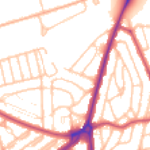
Daytime· 07:00 – 23:00
53.1dB

Night-time· 23:00 – 07:00
43.8dB