4 Philipot Path, Greenwich, London, SE9 5DL
About 4 Philipot Path
4 Philipot Path is a two-bedroom property in Greenwich, London, London (SE9 5DL). It has council tax band D.
Held since June 2006 — that's 20 years off the open market, well above the local norm.
What this property has
Inside
- Bedrooms2
- Dining roomYes
- CloakroomYes
Outside
- Private gardenYes
Building
- Heating systemGas
Everything you need to know about 4 Philipot Path
The true value, the hidden risks and the full sale history, in one report.
30-day money-back guarantee

The data behind every report


Energy performance
No EPC on record
This property doesn't have an Energy Performance Certificate yet. An EPC is required to sell or let — and unlocks our automated valuation.
Planning history
4 Philipot Path has no planning applications on record.
Notable planning nearby
10applications of note in the surrounding area
We flagged 1 thing worth checking at 4 Philipot Path
Independent checks surfaced things a buyer would want to understand before offering. The report explains each one in full, with the underlying data and what to ask.
- Signs of HMO activity in the area
30-day money-back guarantee
Sales history & valuation
£187,500
Recorded with HM Land Registry.
Sales timeline
22 June 2006Most recent
£187,500
Median price across the last 5 sales in SE9 5DL: £311,000 (2025–2019).
Nearby sales in SE9 5DL
24 Philipot Path, Greenwich, London, SE9 5DL
Sold Jun 2025
£451,0002 Philipot Path, Greenwich, London, SE9 5DL
Sold Mar 2025
£365,0001 Philipot Path, Greenwich, London, SE9 5DL
Sold Jun 2013
£192,5003a, Philipot Path, Greenwich, London, SE9 5DL
Sold May 2012
£128,00023 Philipot Path, Greenwich, London, SE9 5DL
Sold Apr 2008
£222,000
Everything you need to know about 4 Philipot Path
The true value, the hidden risks and the full sale history, in one report.
30-day money-back guarantee
The data behind every report
Similar properties nearby
1 Messeter Place, Greenwich
SE9 5DP
1 Moat Court, Court Road, Greenwich
SE9 5QD
1 Joan Crescent, Greenwich
SE9 5RR
1 Philipot Path, Greenwich
SE9 5DL
1 Gregory Crescent, Greenwich
SE9 5RZ
1 Karen Court, Eltham Green, Greenwich
SE9 5LA
1 Beech Court, Kingsground, Greenwich
SE9 5HB
1 Glasbrook Road, Greenwich
SE9 5RH
The neighbourhood at a glance
Rail-style transport is unusually close for this postcode.
Crime
6/mo
Rising year-on-year across the wider district.
Nearest stop
0.1 km
Eltham High Street / Roper Street — bus stop.
Closest school
0.2 km
Eltham Church of England Primary School. 37 schools nearby.
Go deeper on the local area
The full report breaks down crime, transport links, schools and air quality in depth.
Road noise across the postcode
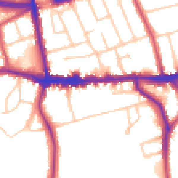
Daytime· 07:00 – 23:00
53.0dB

Night-time· 23:00 – 07:00
44.1dB