16 Agaton Road, Bexley, London, SE9 3RW
About 16 Agaton Road
16 Agaton Road is a property in Bexley, London, London (SE9 3RW). It has council tax band E.
It hasn't traded since September 2001, a hold of 25 years that's notably long for the area.
Everything you need to know about 16 Agaton Road
The true value, the hidden risks and the full sale history, in one report.
30-day money-back guarantee

The data behind every report


Energy performance
No EPC on record
This property doesn't have an Energy Performance Certificate yet. An EPC is required to sell or let — and unlocks our automated valuation.
Planning history
16 Agaton Road has no planning applications on record.
Notable planning nearby
25applications of note in the surrounding area
We flagged 1 thing worth checking at 16 Agaton Road
Independent checks surfaced things a buyer would want to understand before offering. The report explains each one in full, with the underlying data and what to ask.
- Signs of HMO activity in the area
30-day money-back guarantee
Sales history & valuation
£172,000
Recorded with HM Land Registry.
Sales timeline
9 September 2001Most recent
£172,000
Median price across the last 5 sales in SE9 3RW: £565,000 (2025–2018).
Nearby sales in SE9 3RW
26 Agaton Road, Bexley, London, SE9 3RW
Sold Oct 2025
£565,00022 Agaton Road, Bexley, London, SE9 3RW
Sold Sept 2022
£665,00034 Agaton Road, Bexley, London, SE9 3RW
Sold Jun 2021
£625,0004 Agaton Road, Bexley, London, SE9 3RW
Sold Dec 2018
£245,00010 Agaton Road, Bexley, London, SE9 3RW
Sold May 2018
£515,000
Everything you need to know about 16 Agaton Road
The true value, the hidden risks and the full sale history, in one report.
30-day money-back guarantee
The data behind every report
Similar properties nearby
1 Cadwallon Road, Greenwich
SE9 3PX
1 Biddenden Way, Greenwich
SE9 3DN
1 Clayfarm Road, Greenwich
SE9 3PS
1 County Gate, Bexley
SE9 3UB
1 Cedric Road, Greenwich
SE9 3SQ
1 Agaton Road, Bexley
SE9 3RN
1 Broad Lawn, Greenwich
SE9 3XE
1 Chapel Farm Road, Greenwich
SE9 3LX
The neighbourhood at a glance
Rail-style transport is unusually close for this postcode.
Crime
6/mo
Rising year-on-year across the wider district.
Nearest stop
0.2 km
Thaxted Road — bus stop.
Closest school
0.3 km
Dulverton Primary School. 33 schools nearby.
Go deeper on the local area
The full report breaks down crime, transport links, schools and air quality in depth.
Road noise across the postcode
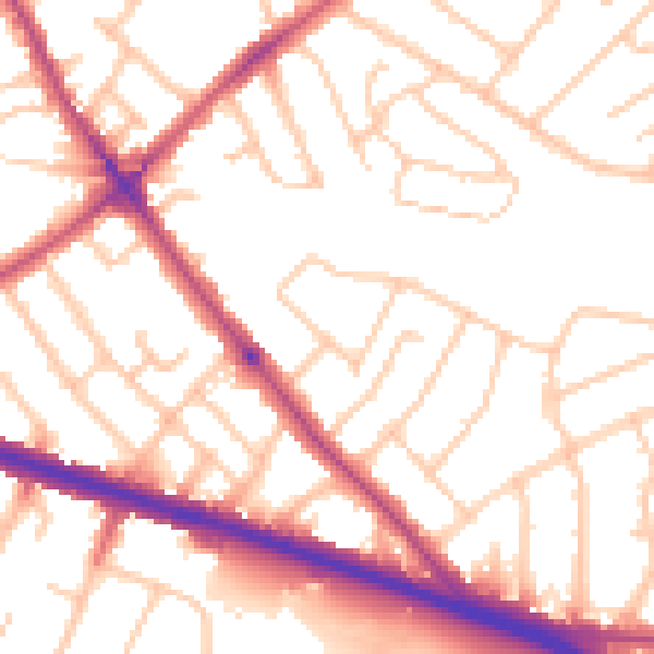
Daytime· 07:00 – 23:00
52.8dB

Night-time· 23:00 – 07:00
43.2dB