62 Telford Road, Bexley, London, SE9 3RD
About 62 Telford Road
62 Telford Road is a semi-detached house in Bexley, London, London (SE9 3RD). It has a recorded floor area of 94 m² (around 1012 sq ft), construction records dating it to 1930-1949 and council tax band E. The latest certificate (September 2024) shows an E (score 54), well below the UK norm with real room to improve. The recommended improvements would lift it to C (score 76), a 2-band jump.
It changed hands recently, sold December 2024 for £612,000. One planning record on file: an extension approved in 2025. Past consents include an extension, meaningful when judging how the property has evolved. At 94 m² it's 25.4% smaller than the typical home in the postcode (126 m² median across 10 EPCs). It lags the bulk of the postcode on energy efficiency (less efficient than 80% of similar EPCs). Across 2024–2024, sale prices on this property compounded at 6.4% per year. On a £-per-square-foot basis, the last sale (£605/sq ft) was about 72.4% above the typical sold price in the postcode.
Everything you need to know about 62 Telford Road
The true value, the hidden risks and the full sale history, in one report.
30-day money-back guarantee

The data behind every report


Energy performance
Recommended upgrades on file would lift this property by multiple EPC bands.
EPC Rating
Planning history
62 Telford Road has an approved side and rear extension on the planning record.
- May 2025ExtensionFullIn report
Extension: Side and rear of property
Erection of a part one/part two side and rear extension.
- Documents
- 5 docs on file
- Reference
- 25/00673/FUL
We flagged 1 thing worth checking at 62 Telford Road
Independent checks surfaced things a buyer would want to understand before offering. The report explains each one in full, with the underlying data and what to ask.
- Signs of HMO activity in the area
30-day money-back guarantee
Sales history & valuation
62 Telford Road changed hands twice within eighteen months — unusual for the area.
£636,000
Modelled from EPC, postcode comparables and a sale-price growth of 6.4% per year over 1 year.
£612,000
Growth on file: 6.4% per year over 1 year.
Sales timeline
10 December 2024Most recent
£612,000
+6.4%29 August 2024
£575,000
Median price across the last 5 sales in SE9 3RD: £710,000 (2024–2021).
Nearby sales in SE9 3RD
58 Telford Road, Bexley, London, SE9 3RD
Sold May 2024
£710,00036 Telford Road, Bexley, London, SE9 3RD
Sold Feb 2023
£807,00054 Telford Road, Bexley, London, SE9 3RD
Sold May 2022
£855,10814 Telford Road, Bexley, London, SE9 3RD
Sold Nov 2021
£588,00050 Telford Road, Bexley, London, SE9 3RD
Sold Mar 2021
£700,000
Versus other Telford Road homes
On years held, 62 Telford Road runs well behind the street norm.
Price per m²
£6,511
Street avg £4,419
Floor Area
94 m²
Street avg 133 m²
Habitable Rooms
5 rooms
Street avg 6 rooms
CO₂ Emissions
5.1 t/year
Street avg 5.6 t/year
Everything you need to know about 62 Telford Road
The true value, the hidden risks and the full sale history, in one report.
30-day money-back guarantee
The data behind every report
Similar properties nearby
1 Biddenden Way, Greenwich
SE9 3DN
1 Cadwallon Road, Greenwich
SE9 3PX
1 Clayfarm Road, Greenwich
SE9 3PS
1 Cedric Road, Greenwich
SE9 3SQ
1 Agaton Road, Bexley
SE9 3RN
1 County Gate, Bexley
SE9 3UB
1 Broad Lawn, Greenwich
SE9 3XE
1 Chapel Farm Road, Greenwich
SE9 3LX
The neighbourhood at a glance
Rail-style transport is unusually close for this postcode.
Crime
6/mo
Rising year-on-year across the wider district.
Nearest stop
0.2 km
County Gate — bus stop.
Closest school
0.3 km
Dulverton Primary School. 34 schools nearby.
Go deeper on the local area
The full report breaks down crime, transport links, schools and air quality in depth.
Road noise across the postcode
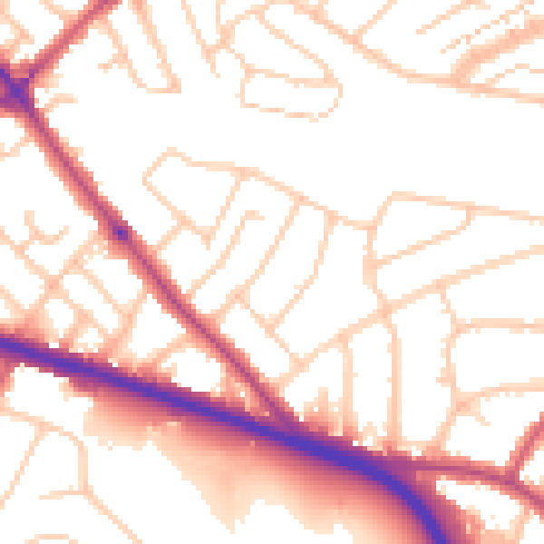
Daytime· 07:00 – 23:00
53.0dB

Night-time· 23:00 – 07:00
43.4dB