85a, Manwood Road, Lewisham, London, SE4 1AB
About 85a
85a is a two-bedroom end-of-terrace house in Lewisham, London, London (SE4 1AB). It has a recorded floor area of 56 m² (around 603 sq ft), construction records dating it to 1900-1929 and council tax band C. At 56 m² this is the 2nd smallest of 10 units on EPC record in the building, where floor areas span 41–134 m². The building's EPC ratings span E to C across 10 units on file. Period features are noted in the property record. The latest certificate (April 2012) shows a D (score 59), a step below the typical UK home. The recommended improvements would push it to C (score 75). The latest certificate is from April 2012, so improvements made since then won't be reflected.
At 56 m² it sits well below the postcode median (95 m² across 9 EPCs), making it one of the more compact homes locally. Across 2000–2021, sale prices on this property compounded at 7.9% per year. Today's modelled estimate of £454,000 is 13.5% above the 2021 sale price. On a £-per-square-foot basis, the last sale (£664/sq ft) was about 21.5% above the typical sold price in the postcode. Most recent transfer: June 2021 at £400,000. That sale was during the post-pandemic price surge, when transactions cleared materially above pre-2020 trend.
What this property has
Inside
- Bedrooms2
- Bathrooms1
- Open-plan layoutYes
Outside
- Private gardenYes
Building
- Period featuresYes
Everything you need to know about 85a
The true value, the hidden risks and the full sale history, in one report.
Pick your report · every report is £14.99
One time fee only - money back guarantee

The data behind every report


Energy performance
85a's EPC is over a decade old — improvements since won't be reflected.
EPC Expired
This certificate is over 10 years old and is no longer valid.Expired 11 Apr 2022
EPC Rating
Get a survey for this property
Level 3 Building Survey
Because the property was built before 1919 and has solid (non-cavity) walls, we believe a Level 3 building survey should be considered.
From £1,020 · Includes VAT
Planning history
85a has no planning applications on record.
But the area is active
19 notable applications nearby — larger schemes and conversions that could reshape the street. The report maps them all.
Sales history & valuation
Price for 85a has grown more than fourfold since the 2000 starting point.
£454,000
Modelled from EPC, postcode comparables and a sale-price growth of 7.9% per year over 21 years.
£400,000
Growth on file: 7.9% per year over 21 years.
Sales timeline
29 June 2021Most recent
£400,000
+77.8%over 8 years3 September 2012
£225,000
+184.8%over 12 years10 February 2000
£79,000
Median price across the last 5 sales in SE4 1AB: £745,000 (2024–2020).
Nearby sales in SE4 1AB
53 Manwood Road, Lewisham, London, SE4 1AB
Sold Oct 2024
£831,00065 Manwood Road, Lewisham, London, SE4 1AB
Sold Nov 2023
£735,00059 Manwood Road, Lewisham, London, SE4 1AB
Sold Apr 2023
£595,00079 Manwood Road, Lewisham, London, SE4 1AB
Sold Aug 2022
£745,00067 Manwood Road, Lewisham, London, SE4 1AB
Sold Mar 2020
£787,500
Everything you need to know about 85a
The true value, the hidden risks and the full sale history, in one report.
Pick your report · every report is £14.99
One time fee only - money back guarantee
The data behind every report
Similar properties nearby
1 Adelaide Avenue, Lewisham
SE4 1YT
1 Beverley Court, Breakspears Road, Lewisham
SE4 1UN
1 Bearstead Rise, Lewisham
SE4 1RQ
1 Breakspears Mews, Lewisham
SE4 1PY
1 3, Flat 6, Ashby Road, Lewisham
SE4 1PR
1 3, Flat 4, Ashby Road, Lewisham
SE4 1PR
1 3, Flat 5, Ashby Road, Lewisham
SE4 1PR
1 2, Flat 11, Vulcan Terrace, Lewisham
SE4 1DA
The neighbourhood at a glance
Rail-style transport is unusually close for this postcode.
Crime
7/mo
Rising year-on-year across the wider district.
Nearest stop
0.1 km
Bexhill Road — bus stop.
Closest school
0.4 km
Gordonbrock Primary School. 74 schools nearby.
Go deeper on the local area
A Local Area report breaks down crime, transport links, schools and air quality in depth.
Road noise across the postcode
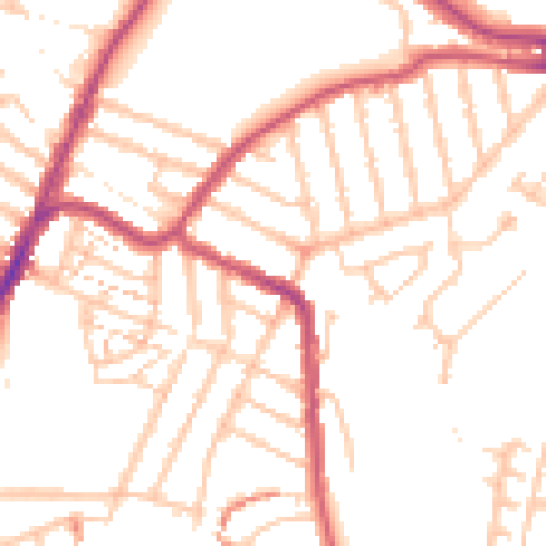
Daytime· 07:00 – 23:00
50.9dB

Night-time· 23:00 – 07:00
39.8dB