9 Nesbitt Close, Lewisham, London, SE3 0XB
About 9 Nesbitt Close
9 Nesbitt Close is a four-bedroom mid-terrace house in Lewisham, London, London (SE3 0XB). It has a recorded floor area of 98 m² (around 1055 sq ft), construction records dating it to 1976-1982 and council tax band D. The latest certificate (February 2014) shows a D (score 64), on the cusp of jumping into the C band. The rating has held steady at D across 2 certificates since September 2013. Between certificates, roof efficiency went from Good to Very Good; while lighting dropped from Good to Average. The recommended improvements would lift it to B (score 87), a 2-band jump. The latest certificate is from February 2014, so improvements made since then won't be reflected.
Untraded for 26 years, with the last transfer in January 2000. Only one transfer is on record with HM Land Registry, suggesting it has stayed in the same hands for a long time. Today's modelled estimate of £691,000 sits 821.3% above the 2000 sale of £75,000. On a £-per-square-foot basis, the last sale (£71/sq ft) was about 82.4% below the postcode norm. One planning record on file: tree works approved in 2003. Past consents include tree works, meaningful when judging how the property has evolved. At 98 m² it's 25.6% larger than the typical home in the postcode (78 m² median across 18 EPCs). It lags the bulk of the postcode on energy efficiency (less efficient than 89% of similar EPCs).
Know exactly what you're buying at 9 Nesbitt Close
Before you offer, see what the listing won't tell you, the true value, the red flags and the full history.
Valuation
against the asking price
Risks
planning & flood
Sold prices
similar homes nearby
Trends
the local market
What this property has
Inside
- Bedrooms4
- EnsuiteYes
Outside
- Private gardenRear
- ParkingOff street
Energy performance
Recommended upgrades on file would lift this property by multiple EPC bands.
EPC Expired
This certificate is over 10 years old and is no longer valid.Expired 11 Feb 2024
EPC Rating
Property Improvements
Changes detected from historical EPC data
Roof insulation improved
Planning history
- Jul 2003Tree WorksTreesIn report
Fell a Leyland Cypress and three Ash trees in the rear garden at 9 Nesbitt Close, SE3.
- Agent
- Keven Watt Quality Tree Care
- Reference
- 03/054199
What's in 9 Nesbitt Close, Lewisham, London, SE3 0XB's planning history?
Refusals, disputes and full decisions on this property and nearby, in the report.
Sales history & valuation
9 Nesbitt Close's modelled value sits at over four times its earliest registered sale price (2000).
£691,000
Modelled from EPC, postcode comparables.
£75,000
Recorded with HM Land Registry.
Sales timeline
17 January 2000Most recent
£75,000
Median price across the last 5 sales in SE3 0XB: £490,000 (2022–2015).
Nearby sales in SE3 0XB
6 Nesbitt Close, Lewisham, London, SE3 0XB
Sold Mar 2022
£558,0005 Nesbitt Close, Lewisham, London, SE3 0XB
Sold Sept 2018
£548,0004 Nesbitt Close, London, SE3 0XB
Sold Dec 2017
£325,00021 Nesbitt Close, Lewisham, London, SE3 0XB
Sold Dec 2013
£450,00012 Nesbitt Close, Lewisham, London, SE3 0XB
Sold Dec 2008
£190,000
Everything we know about 9 Nesbitt Close, in one report
What it's really worth, what could be wrong, and the planning, sales and area data in full.
- Am I paying too much?
- Is something wrong with it?
- Is the agent's story true?
- Will it hold its value?

Versus other Nesbitt Close homes
Price per m² for 9 Nesbitt Close lags the street by a wide margin.
Price per m²
£765
Street avg £4,957
Floor Area
98 m²
Street avg 93 m²
Habitable Rooms
6 rooms
Street avg 5 rooms
CO₂ Emissions
4.0 t/year
Street avg 2.8 t/year
Similar properties nearby
1 Delme Crescent, Greenwich
SE3 0ED
1 Eliot Vale, Lewisham
SE3 0UU
1 Holm Walk, Greenwich
SE3 0HD
1 Brigade Street, Lewisham
SE3 0TW
1 Collins Square, Lewisham
SE3 0BT
1 Eliot Cottages, Hare & Billet Road, Lewisham
SE3 0QJ
1 Dover Patrol, Greenwich
SE3 0DW
1 Grotes Place, Lewisham
SE3 0QH
The neighbourhood at a glance
Rail-style transport is unusually close for this postcode.
Crime
10/mo
Rising year-on-year across the wider district.
Nearest stop
0.3 km
St Margaret's Church / Brandram Road — bus stop.
Closest school
0.2 km
St Matthew Academy. 65 schools nearby.
Go deeper on the local area
The full report breaks down crime, transport links, schools and air quality in depth.
Road noise across the postcode
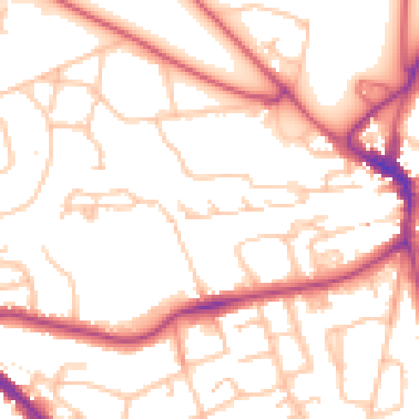
Daytime· 07:00 – 23:00
52.9dB

Night-time· 23:00 – 07:00
42.2dB