4 Nesbitt Close, London, SE3 0XB
About 4 Nesbitt Close
4 Nesbitt Close is a semi-detached house in London (SE3 0XB). It has a recorded floor area of 70 m² (around 753 sq ft), construction records dating it to 1996-2002 and council tax band C. At 70 m² this is the largest unit on EPC record across the building (42–70 m²). On EPC score it ranks last in the building (69 versus a best of 73). The latest certificate (March 2023) shows a C (score 69), just inside the C band. When first surveyed in February 2012 the rating was D, the property has climbed 1 band since. Between certificates, lighting went from Average to Very Good.
8 years since the last transfer (December 2017). Across the public record there are 4 sales, relatively high churn for a single property. At 70 m² it's 19.5% smaller than the typical home in the postcode (87 m² median across 18 EPCs). Across 2000–2017, sale prices on this property compounded at 7.6% per year.
Know exactly what you're buying at 4 Nesbitt Close
Before you offer, see what the listing won't tell you, the true value, the red flags and the full history.
Valuation
against the asking price
Risks
planning & flood
Sold prices
similar homes nearby
Trends
the local market
Energy performance
EPC Rating
Property Improvements
Changes detected from historical EPC data
More low energy lighting installed
Planning history
4 Nesbitt Close has no planning applications on record.
Notable planning nearby
3applications of note in the surrounding area
Sales history & valuation
Sale price has grown by over 3x since 2000.
£354,000
Modelled from EPC, postcode comparables and a sale-price growth of 7.6% per year over 17 years.
£325,000
Growth on file: 7.6% per year over 17 years.
Sales timeline
20 December 2017Most recent
£325,000
+1.6%over 2 years6 March 2015
£320,000
+80.8%over 8 years1 October 2006
£177,000
+88.7%over 5 years15 December 2000
£93,800
Median price across the last 5 sales in SE3 0XB: £490,000 (2022–2012).
Nearby sales in SE3 0XB
6 Nesbitt Close, Lewisham, London, SE3 0XB
Sold Mar 2022
£558,0005 Nesbitt Close, Lewisham, London, SE3 0XB
Sold Sept 2018
£548,00021 Nesbitt Close, Lewisham, London, SE3 0XB
Sold Dec 2013
£450,00012 Nesbitt Close, Lewisham, London, SE3 0XB
Sold Dec 2008
£190,00010 Nesbitt Close, Lewisham, London, SE3 0XB
Sold Jun 2005
£280,000
Everything we know about 4 Nesbitt Close, in one report
What it's really worth, what could be wrong, and the planning, sales and area data in full.
- Am I paying too much?
- Is something wrong with it?
- Is the agent's story true?
- Will it hold its value?

Versus other Nesbitt Close homes
On floor area, 4 Nesbitt Close stands well clear of the street.
EPC Rating
69 (C)
Street avg 71 (C)
Floor Area
70 m²
Street avg 45 m²
CO₂ Emissions
2.5 t/year
Street avg 1.7 t/year
Habitable Rooms
2 rooms
Street avg 2 rooms
Similar properties nearby
1 Kidbrooke Park Close, Greenwich
SE3 0EF
1 Lindsey Court, Camden Row
SE3 0QB
1 Chiswell Square, Greenwich
SE3 0JF
1 Hurren Close
SE3 0XA
1 Brook Lane, Greenwich
SE3 0EB
1 Kidbrooke Park Road, Greenwich
SE3 0LR
1 Kidbrooke Way, Greenwich
SE3 0DY
1 Delme Crescent, Greenwich
SE3 0ED
The neighbourhood at a glance
Rail-style transport is unusually close for this postcode.
Crime
10/mo
Rising year-on-year across the wider district.
Nearest stop
0.3 km
St Margaret's Church / Brandram Road — bus stop.
Closest school
0.2 km
St Matthew Academy. 65 schools nearby.
Go deeper on the local area
The full report breaks down crime, transport links, schools and air quality in depth.
Road noise across the postcode
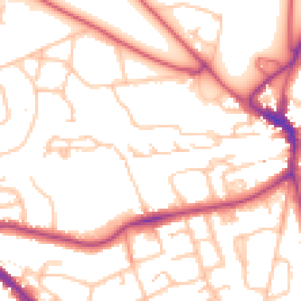
Daytime· 07:00 – 23:00
52.9dB

Night-time· 23:00 – 07:00
42.2dB