29 Dalmore Road, Lambeth, London, SE21 8HD
About 29 Dalmore Road
29 Dalmore Road is a property in Lambeth, London, London (SE21 8HD). It has council tax band G.
Held since February 2006 — that's 20 years off the open market, well above the local norm. 3 planning records sit against the property, 3 approved, 0 refused. Past consents include tree works, an extension and a loft conversion, meaningful when judging how the property has evolved. Across 2002–2006, sale prices on this property compounded at 5% per year.
Everything you need to know about 29 Dalmore Road
The true value, the hidden risks and the full sale history, in one report.
Pick your report · every report is £14.99
One time fee only - money back guarantee

The data behind every report


Energy performance
No EPC on record
This property doesn't have an Energy Performance Certificate yet. An EPC is required to sell or let — and unlocks our automated valuation.
Get a survey for this property
Level 2 HomeBuyer Report
We've checked 10 risk factors against the available data for this property and believe a Level 2 HomeBuyer Report could be a suitable option for you.
Planning history
Planning history includes both a loft conversion and an extension — the classic family-home expansion.
3 applications on record at 29 Dalmore Road, Lambeth, London, SE21 8HD
- Jun 2006Loft ConversionFullOutcome in report
Loft conversion with the installation of a rear dormer and front and side rooflights.
- Documents
- 5 docs on file
- Reference
- 06/01227/FUL
- More recent applications — locked
- Tree WorksApr 2017Decision
- ExtensionAug 2013Decision
Unlock 29 Dalmore Road, Lambeth, London, SE21 8HD's full planning history
You're seeing the shape of it. The report has the substance.
- Every decision — granted, refused or withdrawn (3 on record)
- All 3 applications on this property in full, plus 1 notable nearby
- The 24 documents, officer reports & conditions
- What the pattern means for extending or converting here
One time fee only - money back guarantee
Sales history & valuation
£870,000
Growth on file: 5.0% per year over 4 years.
Sales timeline
24 February 2006Most recent
£870,000
+19.2%over 3 years24 July 2002
£730,000
Median price across the last 5 sales in SE21 8HD: £1,360,000 (2022–2010).
Nearby sales in SE21 8HD
35 Dalmore Road, Lambeth, London, SE21 8HD
Sold Jun 2022
£1,360,00025 Dalmore Road, Lambeth, London, SE21 8HD
Sold Dec 2013
£1,406,00017 Dalmore Road, Lambeth, London, SE21 8HD
Sold Nov 2011
£1,360,0007 Dalmore Road, Lambeth, London, SE21 8HD
Sold Aug 2011
£922,50011 Dalmore Road, Lambeth, London, SE21 8HD
Sold Dec 2010
£1,500,000
Everything you need to know about 29 Dalmore Road
The true value, the hidden risks and the full sale history, in one report.
Pick your report · every report is £14.99
One time fee only - money back guarantee
The data behind every report
Similar properties nearby
1 Birkbeck Place, Lambeth
SE21 8JU
1 Coney Acre, Lambeth
SE21 8LL
1 Loggetts, Alleyn Park, Southwark
SE21 8AS
1 Alleyn Crescent, Southwark
SE21 8BN
1 Birkbeck Hill, Lambeth
SE21 8JS
1 Ildersly Grove, Southwark
SE21 8EU
1 Eastmearn Road, Lambeth
SE21 8HA
1 Cokers Lane, Lambeth
SE21 8NF
The neighbourhood at a glance
Rail-style transport is unusually close for this postcode.
Crime
6/mo
Rising year-on-year across the wider district.
Nearest stop
0.1 km
Lancaster Avenue West Dulwich — bus stop.
Closest school
0.5 km
The Elmgreen School. 65 schools nearby.
Go deeper on the local area
A Local Area report breaks down crime, transport links, schools and air quality in depth.
Road noise across the postcode
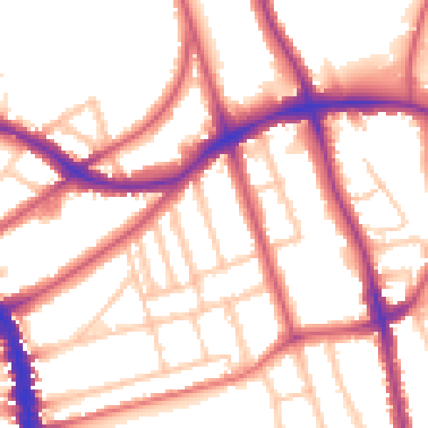
Daytime· 07:00 – 23:00
54.2dB

Night-time· 23:00 – 07:00
45.1dB