1 Cokers Lane, Lambeth, London, SE21 8NF
About 1 Cokers Lane
1 Cokers Lane is a semi-detached house in Lambeth, London, London (SE21 8NF). It has a recorded floor area of 97 m² (around 1044 sq ft), construction records dating it to 1950-1966 and council tax band E. The latest certificate (September 2025) shows an E (score 44), well below the UK norm with real room to improve. The recommended improvements would lift it to B (score 81), a 3-band jump.
It lags the bulk of the postcode on energy efficiency (less efficient than 71% of similar EPCs).
Everything you need to know about 1 Cokers Lane
The true value, the hidden risks and the full sale history, in one report.
Pick your report · every report is £14.99
One time fee only - money back guarantee

The data behind every report


Energy performance
Recommended upgrades on file would lift this property by multiple EPC bands.
EPC Rating
Get a survey for this property
Level 2 HomeBuyer Report
We've checked 10 risk factors against the available data for this property and believe a Level 2 HomeBuyer Report could be a suitable option for you.
From £995 · Includes VAT
Planning history
1 Cokers Lane has no planning applications on record.
But the area is active
1 notable application nearby — larger schemes and conversions that could reshape the street. The report maps them all.
Sales history & valuation
1 Cokers Lane has no Land Registry sales on file, suggesting it has stayed in the same hands since registration began.
£760,000
Modelled from EPC, postcode comparables.
No sales recorded with HM Land Registry
That can mean the property has never traded since the registry began publishing in 1995, was a new build that hasn't been registered yet, or is held in the same hands long-term.
Median price across the last 5 sales in SE21 8NF: £735,000 (2022–2013).
Nearby sales in SE21 8NF
8 Cokers Lane, Lambeth, London, SE21 8NF
Sold Mar 2022
£735,0009 Cokers Lane, Lambeth, London, SE21 8NF
Sold Apr 2021
£780,0005 Cokers Lane, Lambeth, London, SE21 8NF
Sold Mar 2021
£731,50012 Cokers Lane, Lambeth, London, SE21 8NF
Sold Apr 2019
£785,0002 Cokers Lane, Lambeth, London, SE21 8NF
Sold Jul 2013
£500,000
Versus other Cokers Lane homes
On epc rating, 1 Cokers Lane runs well behind the street norm.
EPC Rating
44 (E)
Street avg 57 (D)
Floor Area
97 m²
Street avg 98 m²
CO₂ Emissions
5.4 t/year
Street avg 4.8 t/year
Habitable Rooms
3 rooms
Street avg 4 rooms
Everything you need to know about 1 Cokers Lane
The true value, the hidden risks and the full sale history, in one report.
Pick your report · every report is £14.99
One time fee only - money back guarantee
The data behind every report
Similar properties nearby
1 Charles Nex Mews, Lambeth
SE21 8HW
1 Lincoln Mews, Thurlow Park Road, Lambeth
SE21 8HP
1 Chalford Road, Lambeth
SE21 8BX
1 Dalkeith Road, Lambeth
SE21 8LT
1 Birkbeck Hill, Lambeth
SE21 8JS
1 Bowen Drive, Southwark
SE21 8NS
1 Alleyn Crescent, Southwark
SE21 8BN
1 Kennoldes, Croxted Road, Southwark
SE21 8SS
The neighbourhood at a glance
Rail-style transport is unusually close for this postcode.
Crime
6/mo
Rising year-on-year across the wider district.
Nearest stop
0.1 km
West Dulwich Station — bus stop.
Closest school
0.5 km
Rosendale Primary School. 66 schools nearby.
Go deeper on the local area
A Local Area report breaks down crime, transport links, schools and air quality in depth.
Road noise across the postcode
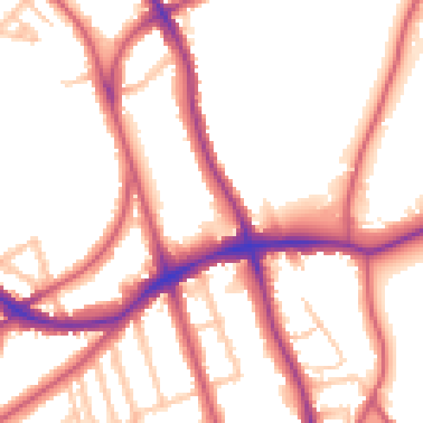
Daytime· 07:00 – 23:00
53.7dB

Night-time· 23:00 – 07:00
44.4dB