5 Cokers Lane, Lambeth, London, SE21 8NF
About 5 Cokers Lane
5 Cokers Lane is a three-bedroom detached house in Lambeth, London, London (SE21 8NF). It has a recorded floor area of 98 m² (around 1055 sq ft), construction records dating it to 1983-1990 and council tax band E. The latest certificate (October 2020) shows a D (score 67), on the cusp of jumping into the C band. The recommended improvements would lift it to B (score 82), a 2-band jump. Period features are noted in the property record.
One planning record on file: an extension approved in 2021. Past consents include an extension and a garage conversion, meaningful when judging how the property has evolved. Across 1999–2021, sale prices on this property compounded at 6.4% per year. Today's modelled estimate of £822,000 is 12.4% above the 2021 sale price. On a £-per-square-foot basis, the last sale (£693/sq ft) was about 90.7% above the typical sold price in the postcode. Most recent transfer: March 2021 at £731,500. That sale was during the post-pandemic price surge, when transactions cleared materially above pre-2020 trend.
What this property has
Inside
- Bedrooms3
- Bathrooms1
- Open-plan layoutYes
- Dining roomYes
- CloakroomYes
Outside
- Private gardenYes
- GarageSingle
Building
- Period featuresYes
Everything you need to know about 5 Cokers Lane
The true value, the hidden risks and the full sale history, in one report.
Pick your report · every report is £14.99
One time fee only - money back guarantee

The data behind every report


Energy performance
Recommended upgrades on file would lift this property by multiple EPC bands.
EPC Rating
Get a survey for this property
Level 2 HomeBuyer Report
We've checked 10 risk factors against the available data for this property and believe a Level 2 HomeBuyer Report could be a suitable option for you.
From £1,095 · Includes VAT
Planning history
1 application on record at 5 Cokers Lane, Lambeth, London, SE21 8NF
- Aug 2021Garage ConversionOutlineOutcome in report
Extension: Single storey · Rear of property
Application for a Certificate of Lawful Development (Proposed) with respect to the partial conversion of the existing garage into habitable living space, involving partial demolition of the existing garage to the rear and the erection of a single storey ground floor rear extension.
Extension- Documents
- 10 docs on file
- Reference
- 21/02322/LDCP
Unlock 5 Cokers Lane, Lambeth, London, SE21 8NF's full planning history
You're seeing the shape of it. The report has the substance.
- Every decision — granted, refused or withdrawn (1 on record)
- All 1 application on this property in full, plus 1 notable nearby
- The 10 documents, officer reports & conditions
- What the pattern means for extending or converting here
One time fee only - money back guarantee
Sales history & valuation
5 Cokers Lane has more than tripled in price since its earliest registered sale in 1999.
£822,000
Modelled from EPC, postcode comparables and a sale-price growth of 6.4% per year over 22 years.
£731,500
Growth on file: 6.4% per year over 22 years.
Sales timeline
19 March 2021Most recent
£731,500
+285.0%over 21 years12 August 1999
£190,000
Median price across the last 5 sales in SE21 8NF: £735,000 (2022–2012).
Nearby sales in SE21 8NF
8 Cokers Lane, Lambeth, London, SE21 8NF
Sold Mar 2022
£735,0009 Cokers Lane, Lambeth, London, SE21 8NF
Sold Apr 2021
£780,00012 Cokers Lane, Lambeth, London, SE21 8NF
Sold Apr 2019
£785,0002 Cokers Lane, Lambeth, London, SE21 8NF
Sold Jul 2013
£500,0003 Cokers Lane, Lambeth, London, SE21 8NF
Sold May 2012
£455,000
Versus other Cokers Lane homes
On epc rating, 5 Cokers Lane stands well clear of the street.
Price per m²
£7,464
Street avg £6,350
Floor Area
98 m²
Street avg 98 m²
Habitable Rooms
4 rooms
Street avg 4 rooms
CO₂ Emissions
3.5 t/year
Street avg 5.0 t/year
Everything you need to know about 5 Cokers Lane
The true value, the hidden risks and the full sale history, in one report.
Pick your report · every report is £14.99
One time fee only - money back guarantee
The data behind every report
Similar properties nearby
1 Birkbeck Hill, Lambeth
SE21 8JS
1 Loggetts, Alleyn Park, Southwark
SE21 8AS
1 Coney Acre, Lambeth
SE21 8LL
1 Kennoldes, Croxted Road, Southwark
SE21 8SS
1 Charles Nex Mews, Lambeth
SE21 8HW
1 Lincoln Mews, Thurlow Park Road, Lambeth
SE21 8HP
1 Alleyn Crescent, Southwark
SE21 8BN
1 Chalford Road, Lambeth
SE21 8BX
The neighbourhood at a glance
Rail-style transport is unusually close for this postcode.
Crime
6/mo
Rising year-on-year across the wider district.
Nearest stop
0.1 km
West Dulwich Station — bus stop.
Closest school
0.5 km
Rosendale Primary School. 66 schools nearby.
Go deeper on the local area
A Local Area report breaks down crime, transport links, schools and air quality in depth.
Road noise across the postcode
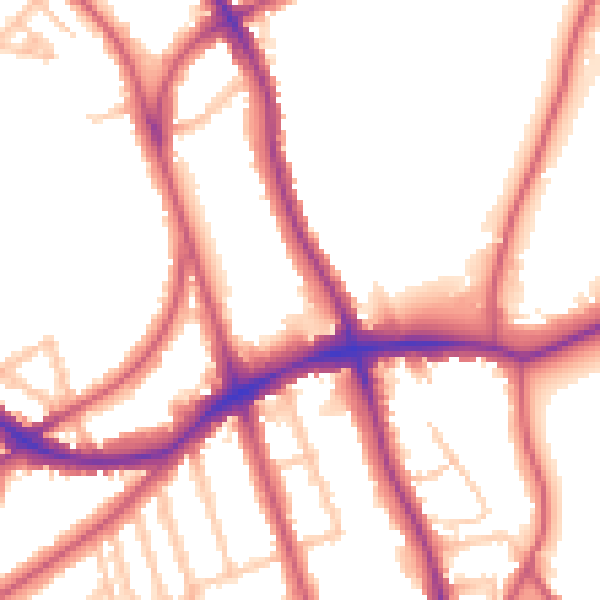
Daytime· 07:00 – 23:00
53.7dB

Night-time· 23:00 – 07:00
44.4dB