14 Acacia Grove, Southwark, London, SE21 8ER
About 14 Acacia Grove
14 Acacia Grove is a property in Southwark, London, London (SE21 8ER). It has council tax band G.
It hasn't traded since May 1998, a hold of 28 years that's notably long for the area. Only one transfer is on record with HM Land Registry, suggesting it has stayed in the same hands for a long time.
Everything you need to know about 14 Acacia Grove
The true value, the hidden risks and the full sale history, in one report.
Pick your report · every report is £14.99
One time fee only - money back guarantee

The data behind every report


Energy performance
No EPC on record
This property doesn't have an Energy Performance Certificate yet. An EPC is required to sell or let — and unlocks our automated valuation.
Get a survey for this property
Level 2 HomeBuyer Report
We've checked 10 risk factors against the available data for this property and believe a Level 2 HomeBuyer Report could be a suitable option for you.
Planning history
14 Acacia Grove has no planning applications on record.
But the area is active
1 notable application nearby — larger schemes and conversions that could reshape the street. The report maps them all.
Sales history & valuation
14 Acacia Grove has been held in the same hands since before 2000.
£190,000
Recorded with HM Land Registry.
Sales timeline
5 May 1998Most recent
£190,000
Median price across the last 5 sales in SE21 8ER: £1,100,000 (2022–2017).
Nearby sales in SE21 8ER
3 Acacia Grove, Southwark, London, SE21 8ER
Sold Jun 2022
£1,250,00013 Acacia Grove, Southwark, London, SE21 8ER
Sold Mar 2022
£1,100,0007 Acacia Grove, Southwark, London, SE21 8ER
Sold Dec 2018
£914,00022 Acacia Grove, Southwark, London, SE21 8ER
Sold Jun 2017
£1,220,00016 Acacia Grove, Southwark, London, SE21 8ER
Sold Mar 2017
£710,000
Everything you need to know about 14 Acacia Grove
The true value, the hidden risks and the full sale history, in one report.
Pick your report · every report is £14.99
One time fee only - money back guarantee
The data behind every report
Similar properties nearby
1 Acacia Grove, Southwark
SE21 8ER
1 Alleyn Crescent, Southwark
SE21 8BN
1 Alleyn Road, Southwark
SE21 8AB
1 Berry Lane, Lambeth
SE21 8AR
1 Birkbeck Hill, Lambeth
SE21 8JS
1 Birkbeck Place, Lambeth
SE21 8JU
1 Bowen Drive, Southwark
SE21 8NS
1 Burrow Walk, Lambeth
SE21 8LY
The neighbourhood at a glance
Rail-style transport is unusually close for this postcode.
Crime
6/mo
Rising year-on-year across the wider district.
Nearest stop
0.1 km
Ildersly Grove — bus stop.
Closest school
0.7 km
Elm Wood School. 62 schools nearby.
Go deeper on the local area
A Local Area report breaks down crime, transport links, schools and air quality in depth.
Road noise across the postcode
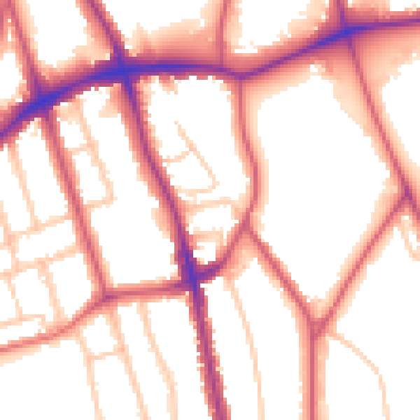
Daytime· 07:00 – 23:00
54.3dB

Night-time· 23:00 – 07:00
44.6dB