111 Court Lane, Southwark, London, SE21 7EE
About 111 Court Lane
111 Court Lane is a property in Southwark, London, London (SE21 7EE). It has council tax band F.
Untraded for 24 years, with the last transfer in March 2002.
Everything you need to know about 111 Court Lane
The true value, the hidden risks and the full sale history, in one report.
Pick your report · every report is £14.99
One time fee only - money back guarantee

The data behind every report


Energy performance
No EPC on record
This property doesn't have an Energy Performance Certificate yet. An EPC is required to sell or let — and unlocks our automated valuation.
Get a survey for this property
Level 2 HomeBuyer Report
We've checked 10 risk factors against the available data for this property and believe a Level 2 HomeBuyer Report could be a suitable option for you.
Planning history
111 Court Lane has no planning applications on record.
A planning report still maps activity across the surrounding area and reads this property's extension & conversion potential.
Sales history & valuation
£360,000
Recorded with HM Land Registry.
Sales timeline
22 March 2002Most recent
£360,000
Median price across the last 5 sales in SE21 7EE: £1,650,000 (2025–2021).
Nearby sales in SE21 7EE
131 Court Lane, Southwark, London, SE21 7EE
Sold Jul 2025
£1,550,000145 Court Lane, Southwark, London, SE21 7EE
Sold Apr 2025
£1,650,000119 Court Lane, Southwark, London, SE21 7EE
Sold Jul 2024
£1,500,000133 Court Lane, Southwark, London, SE21 7EE
Sold Nov 2023
£1,830,000125 Court Lane, Southwark, London, SE21 7EE
Sold Jan 2021
£1,980,089
Everything you need to know about 111 Court Lane
The true value, the hidden risks and the full sale history, in one report.
Pick your report · every report is £14.99
One time fee only - money back guarantee
The data behind every report
Similar properties nearby
1 Desenfans Road, Southwark
SE21 7DN
1 Hunts Slip Road, Southwark
SE21 7LJ
1 Mitchell S Place, Southwark
SE21 7JZ
1 Red Post Hill, Southwark
SE21 7BX
1 Pond Cottages, College Road, Southwark
SE21 7LE
1 Pickwick Road, Southwark
SE21 7JN
1 Druce Road, Southwark
SE21 7DW
1 Ryecotes Mead, Southwark
SE21 7EP
The neighbourhood at a glance
Reported crime in the wider district is trending notably upward year-on-year.
Crime
6/mo
Rising year-on-year across the wider district.
Nearest stop
0.2 km
Eynella Road / Dulwich Library — bus stop.
Closest school
0.3 km
St Anthony's Catholic Primary School. 61 schools nearby.
Go deeper on the local area
A Local Area report breaks down crime, transport links, schools and air quality in depth.
Road noise across the postcode
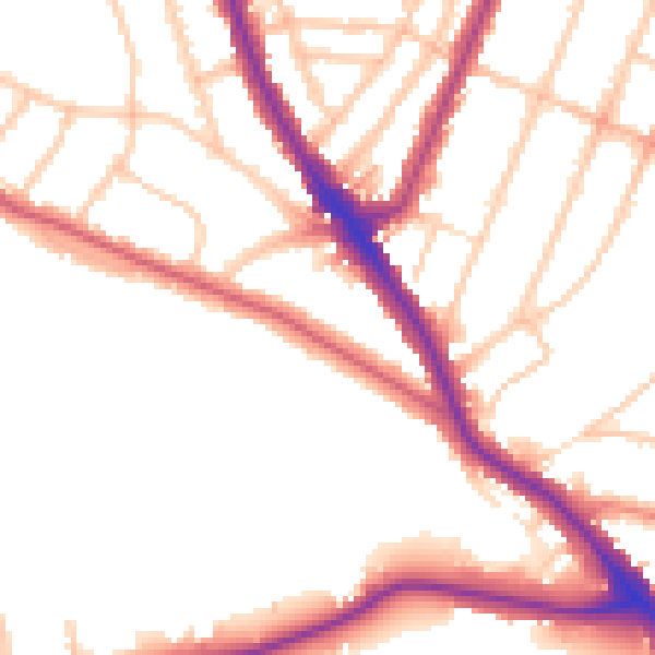
Daytime· 07:00 – 23:00
51.6dB

Night-time· 23:00 – 07:00
42.8dB