1 Portmeadow Walk, Bexley, London, SE2 9UL
About 1 Portmeadow Walk
1 Portmeadow Walk is a property in Bexley, London, London (SE2 9UL). It has council tax band A.
Untraded for 23 years, with the last transfer in July 2003.
Everything you need to know about 1 Portmeadow Walk
The true value, the hidden risks and the full sale history, in one report.
Pick your report · every report is £14.99
One time fee only - money back guarantee

The data behind every report


Energy performance
No EPC on record
This property doesn't have an Energy Performance Certificate yet. An EPC is required to sell or let — and unlocks our automated valuation.
Get a survey for this property
Level 2 HomeBuyer Report
We've checked 10 risk factors against the available data for this property and believe a Level 2 HomeBuyer Report could be a suitable option for you.
Planning history
1 Portmeadow Walk has no planning applications on record.
But the area is active
12 notable applications nearby — larger schemes and conversions that could reshape the street. The report maps them all.
Sales history & valuation
£122,000
Recorded with HM Land Registry.
Sales timeline
30 July 2003Most recent
£122,000
Median price across the last 5 sales in SE2 9UL: £230,000 (2025–2018).
Nearby sales in SE2 9UL
40 Portmeadow Walk, Bexley, London, SE2 9UL
Sold Sept 2025
£230,00042 Portmeadow Walk, Bexley, London, SE2 9UL
Sold Mar 2025
£235,0006 Portmeadow Walk, Bexley, London, SE2 9UL
Sold Jun 2018
£265,00038 Portmeadow Walk, Bexley, London, SE2 9UL
Sold May 2018
£218,00012 Portmeadow Walk, Bexley, London, SE2 9UL
Sold Apr 2018
£205,000
Everything you need to know about 1 Portmeadow Walk
The true value, the hidden risks and the full sale history, in one report.
Pick your report · every report is £14.99
One time fee only - money back guarantee
The data behind every report
Similar properties nearby
1 Dalberg Way, Bexley
SE2 9SL
1 Bostall Manor Way, Greenwich
SE2 9EE
1 Glover Close, Greenwich
SE2 9DX
1 Bromholm Road, Greenwich
SE2 9NE
1 Hartslock Drive, Bexley
SE2 9UR
1 Abbey Wood Road, Greenwich
SE2 9ED
1 Blithdale Road, Greenwich
SE2 9HW
1 Grovebury Road, Greenwich
SE2 9YA
The neighbourhood at a glance
Rail-style transport is unusually close for this postcode.
Crime
7/mo
Rising year-on-year across the wider district.
Nearest stop
0.2 km
Southmere Lake — bus stop.
Closest school
0.1 km
Willow Bank Primary School. 36 schools nearby.
Go deeper on the local area
A Local Area report breaks down crime, transport links, schools and air quality in depth.
Road noise across the postcode
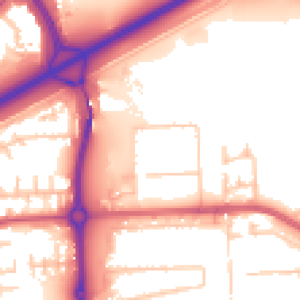
Daytime· 07:00 – 23:00
56.1dB

Night-time· 23:00 – 07:00
46.9dB