3 Sedgemere Road, Bexley, London, SE2 9SW
About 3 Sedgemere Road
3 Sedgemere Road is a mid-terrace house in Bexley, London, London (SE2 9SW). It has a recorded floor area of 86 m² (around 926 sq ft), construction records dating it to 1967-1975 and council tax band C. The latest certificate (August 2019) shows a C (score 71). The recommended improvements would push it to B (score 87).
Untraded for 23 years, with the last transfer in December 2002. Today's modelled estimate of £412,000 sits 207.5% above the 2002 sale of £134,000. On a £-per-square-foot basis, the last sale (£145/sq ft) was about 63% below the postcode norm.
Everything you need to know about 3 Sedgemere Road
The true value, the hidden risks and the full sale history, in one report.
Pick your report · every report is £14.99
One time fee only - money back guarantee

The data behind every report


Energy performance
EPC Rating
Get a survey for this property
Level 2 HomeBuyer Report
We've checked 10 risk factors against the available data for this property and believe a Level 2 HomeBuyer Report could be a suitable option for you.
From £695 · Includes VAT
Planning history
3 Sedgemere Road has no planning applications on record.
But the area is active
12 notable applications nearby — larger schemes and conversions that could reshape the street. The report maps them all.
Sales history & valuation
3 Sedgemere Road's estimated value is more than triple its earliest registered sale price (2002).
£412,000
Modelled from EPC, postcode comparables.
£134,000
Recorded with HM Land Registry.
Sales timeline
6 December 2002Most recent
£134,000
Median price across the last 5 sales in SE2 9SW: £395,000 (2025–2016).
Nearby sales in SE2 9SW
9 Sedgemere Road, Bexley, London, SE2 9SW
Sold Aug 2025
£465,0005 Sedgemere Road, Bexley, London, SE2 9SW
Sold Feb 2023
£375,00012 Sedgemere Road, Bexley, London, SE2 9SW
Sold Oct 2020
£395,00010b, Sedgemere Road, Bexley, London, SE2 9SW
Sold Jul 2016
£214,00010c, Sedgemere Road, Bexley, London, SE2 9SW
Sold Apr 2004
£100,000
Versus other Sedgemere Road homes
On price per m², 3 Sedgemere Road runs well behind the street norm.
Price per m²
£1,558
Street avg £4,691
Floor Area
86 m²
Street avg 86 m²
Habitable Rooms
4 rooms
Street avg 4 rooms
CO₂ Emissions
2.8 t/year
Street avg 3.1 t/year
Everything you need to know about 3 Sedgemere Road
The true value, the hidden risks and the full sale history, in one report.
Pick your report · every report is £14.99
One time fee only - money back guarantee
The data behind every report
Similar properties nearby
1 Edington Road, Greenwich
SE2 9JU
1 Bracondale Road, Greenwich
SE2 9HR
1 Boxgrove Road, Greenwich
SE2 9JZ
1 Chalcombe Road, Greenwich
SE2 9QT
1 Grovebury Road, Greenwich
SE2 9YA
1 Blithdale Road, Greenwich
SE2 9HW
1 Caerleon Terrace, Greenwich
SE2 9EG
1 Abbey Wood Road, Greenwich
SE2 9ED
The neighbourhood at a glance
Rail-style transport is unusually close for this postcode.
Crime
7/mo
Rising year-on-year across the wider district.
Nearest stop
0.1 km
Abbey Wood Station — bus stop.
Closest school
0.4 km
Boxgrove Primary School. 43 schools nearby.
Go deeper on the local area
A Local Area report breaks down crime, transport links, schools and air quality in depth.
Road noise across the postcode
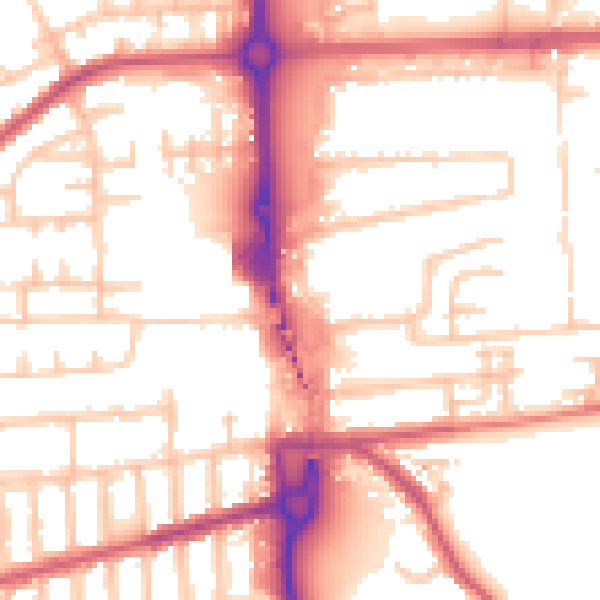
Daytime· 07:00 – 23:00
54.7dB
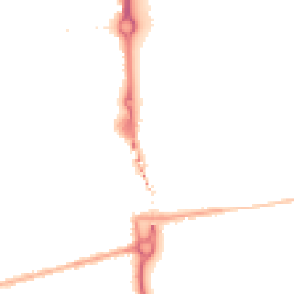
Night-time· 23:00 – 07:00
44.2dB