10c, Sedgemere Road, Bexley, London, SE2 9SW
About 10c
10c is a one-bedroom property in Bexley, London, London (SE2 9SW). It has council tax band B.
Untraded for 22 years, with the last transfer in April 2004. 1 bedrooms is on the smaller side for this postcode, where 3 is the typical count.
What this property has
Inside
- Bedrooms1
Everything you need to know about 10c
The true value, the hidden risks and the full sale history, in one report.
Pick your report · every report is £14.99
One time fee only - money back guarantee

The data behind every report


Energy performance
No EPC on record
This property doesn't have an Energy Performance Certificate yet. An EPC is required to sell or let — and unlocks our automated valuation.
Get a survey for this property
Level 2 HomeBuyer Report
We've checked 10 risk factors against the available data for this property and believe a Level 2 HomeBuyer Report could be a suitable option for you.
Planning history
10c has no planning applications on record.
But the area is active
12 notable applications nearby — larger schemes and conversions that could reshape the street. The report maps them all.
Sales history & valuation
£100,000
Recorded with HM Land Registry.
Sales timeline
1 April 2004Most recent
£100,000
Median price across the last 5 sales in SE2 9SW: £395,000 (2025–2016).
Nearby sales in SE2 9SW
9 Sedgemere Road, Bexley, London, SE2 9SW
Sold Aug 2025
£465,0005 Sedgemere Road, Bexley, London, SE2 9SW
Sold Feb 2023
£375,00012 Sedgemere Road, Bexley, London, SE2 9SW
Sold Oct 2020
£395,00010b, Sedgemere Road, Bexley, London, SE2 9SW
Sold Jul 2016
£214,00010a, Sedgemere Road, Bexley, London, SE2 9SW
Sold Aug 2003
£95,000
Everything you need to know about 10c
The true value, the hidden risks and the full sale history, in one report.
Pick your report · every report is £14.99
One time fee only - money back guarantee
The data behind every report
Similar properties nearby
1 Chalcombe Road, Greenwich
SE2 9QT
1 Birkdale Road, Greenwich
SE2 9HU
1 Devenish Road, Greenwich
SE2 9DA
1 Edington Road, Greenwich
SE2 9JU
1 Boxgrove Road, Greenwich
SE2 9JZ
1 Grovebury Road, Greenwich
SE2 9YA
1 Florence Road, Bexley
SE2 9HB
1 Ampleforth Road, Greenwich
SE2 9BD
The neighbourhood at a glance
Rail-style transport is unusually close for this postcode.
Crime
7/mo
Rising year-on-year across the wider district.
Nearest stop
0.1 km
Abbey Wood Station — bus stop.
Closest school
0.4 km
Boxgrove Primary School. 43 schools nearby.
Go deeper on the local area
A Local Area report breaks down crime, transport links, schools and air quality in depth.
Road noise across the postcode
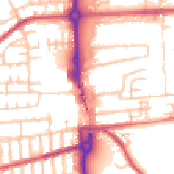
Daytime· 07:00 – 23:00
54.7dB

Night-time· 23:00 – 07:00
44.2dB