274b, Woolwich Road, Bexley, London, SE2 0DW
About 274b
274b is a property in Bexley, London, London (SE2 0DW). It has council tax band E.
Untraded for 19 years, with the last transfer in December 2006. 2 planning records sit against the property, 2 approved, 0 refused. Past consents include an extension and a loft conversion, meaningful when judging how the property has evolved.
Everything you need to know about 274b
The true value, the hidden risks and the full sale history, in one report.
Pick your report · every report is £14.99
One time fee only - money back guarantee

The data behind every report


Energy performance
No EPC on record
This property doesn't have an Energy Performance Certificate yet. An EPC is required to sell or let — and unlocks our automated valuation.
Get a survey for this property
Level 2 HomeBuyer Report
We've checked 10 risk factors against the available data for this property and believe a Level 2 HomeBuyer Report could be a suitable option for you.
Planning history
Planning history includes both a loft conversion and an extension — the classic family-home expansion.
2 applications on record at 274b, Woolwich Road, Bexley, London, SE2 0DW
- Jun 2006Loft ConversionFullOutcome in report
Formation of pitched roof and dormer extensions to both properties to provide rooms in roof space.
- Documents
- 8 docs on file
- Reference
- 06/01886/FUL
- More recent applications — locked
- ExtensionJun 2022Decision
Unlock 274b, Woolwich Road, Bexley, London, SE2 0DW's full planning history
You're seeing the shape of it. The report has the substance.
- Every decision — granted, refused or withdrawn (2 on record)
- All 2 applications on this property in full, plus 44 notable nearby
- The 11 documents, officer reports & conditions
- What the pattern means for extending or converting here
One time fee only - money back guarantee
Sales history & valuation
£285,000
Recorded with HM Land Registry.
Sales timeline
21 December 2006Most recent
£285,000
Median price across the last 5 sales in SE2 0DW: £520,000 (2024–2020).
Nearby sales in SE2 0DW
272a, Woolwich Road, Bexley, London, SE2 0DW
Sold Dec 2024
£610,000270 Woolwich Road, Bexley, London, SE2 0DW
Sold Sept 2024
£704,000272b, Woolwich Road, Bexley, London, SE2 0DW
Sold Oct 2022
£520,000274a, Woolwich Road, Bexley, London, SE2 0DW
Sold Sept 2021
£280,000272 Woolwich Road, Bexley, London, SE2 0DW
Sold Jan 2020
£475,000
Everything you need to know about 274b
The true value, the hidden risks and the full sale history, in one report.
Pick your report · every report is £14.99
One time fee only - money back guarantee
The data behind every report
Similar properties nearby
1 Congress Road, Greenwich
SE2 0LT
1 Brodrick Grove, Greenwich
SE2 0SR
1 Cassilda Road, Greenwich
SE2 0ES
1 Greening Street, Greenwich
SE2 0LX
1 Federation Road, Greenwich
SE2 0JT
1 Bendmore Avenue, Greenwich
SE2 0EY
1 Glendown Road, Greenwich
SE2 0RJ
1 Glenview, Bexley
SE2 0SD
The neighbourhood at a glance
Reported crime in the wider district is trending notably upward year-on-year.
Crime
7/mo
Rising year-on-year across the wider district.
Nearest stop
0.0 km
Woolwich Road / Bedonwell Road — bus stop.
Closest school
0.3 km
Bedonwell Infant and Nursery School. 49 schools nearby.
Go deeper on the local area
A Local Area report breaks down crime, transport links, schools and air quality in depth.
Road noise across the postcode
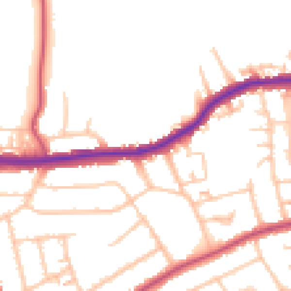
Daytime· 07:00 – 23:00
50.0dB

Night-time· 23:00 – 07:00
39.8dB