124 Overton Drive, Romford, RM6 4EE
About 124 Overton Drive
124 Overton Drive is an end-of-terrace house in Romford (RM6 4EE). It has a recorded floor area of 25 m² (around 269 sq ft), construction records dating it to 1983-1990 and council tax band B. At 25 m² this is the smallest unit on EPC record across the building (25–68 m²). The building's EPC ratings span E to B across 34 units on file. The latest certificate (July 2014) shows a C (score 72). The recommended improvements would push it to B (score 81). Main heating runs on to be used only when there is no heating/hot. The latest certificate is from July 2014, so improvements made since then won't be reflected.
At 25 m² it sits well below the postcode median (47 m² across 33 EPCs), making it one of the more compact homes locally.
Everything you need to know about 124 Overton Drive
The true value, the hidden risks and the full sale history, in one report.
30-day money-back guarantee

The data behind every report


Energy performance
124 Overton Drive's carbon output is low for the local stock.
EPC Expired
This certificate is over 10 years old and is no longer valid.Expired 02 Jul 2024
EPC Rating
Planning history
124 Overton Drive has no planning applications on record.
Notable planning nearby
16applications of note in the surrounding area
We flagged 1 thing worth checking at 124 Overton Drive
Independent checks surfaced things a buyer would want to understand before offering. The report explains each one in full, with the underlying data and what to ask.
- Signs of HMO activity in the area
30-day money-back guarantee
Sales history & valuation
124 Overton Drive has no Land Registry sales on file, suggesting it has stayed in the same hands since registration began.
£157,000
Modelled from EPC, postcode comparables.
No sales recorded with HM Land Registry
That can mean the property has never traded since the registry began publishing in 1995, was a new build that hasn't been registered yet, or is held in the same hands long-term.
Median price across the last 5 sales in RM6 4EE: £230,000 (2025–2022).
Nearby sales in RM6 4EE
Versus other Overton Drive homes
Floor Area for 124 Overton Drive lags the street by a wide margin.
EPC Rating
72 (C)
Street avg 66 (D)
Floor Area
25 m²
Street avg 45 m²
CO₂ Emissions
1.5 t/year
Street avg 2.6 t/year
Habitable Rooms
2 rooms
Street avg 2 rooms
Everything you need to know about 124 Overton Drive
The true value, the hidden risks and the full sale history, in one report.
30-day money-back guarantee
The data behind every report
Similar properties nearby
1 Dairy Mews
RM6 4FP
1 Capstan Close
RM6 4PY
1 Chadview Court, Chadwell Heath Lane, Chadwell Heath
RM6 4BF
1 Burns Avenue, Chadwell Heath
RM6 4DN
1 Birch Court, Sherman Gardens, Chadwell Heath
RM6 4AP
1 Bengeo Gardens
RM6 4BT
1 Crucible Close
RM6 4PZ
1 Barleyfields Close
RM6 4PF
The neighbourhood at a glance
Rail-style transport is unusually close for this postcode.
Crime
6/mo
Steady year-on-year across the wider district.
Nearest stop
0.1 km
Chadwell Heath Rail Station — railway station.
Closest school
0.5 km
Chadwell Primary School. 50 schools nearby.
Go deeper on the local area
The full report breaks down crime, transport links, schools and air quality in depth.
Road noise across the postcode
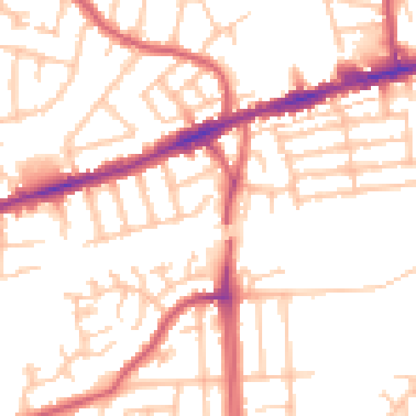
Daytime· 07:00 – 23:00
52.0dB

Night-time· 23:00 – 07:00
41.1dB